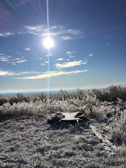
Mount Ararat (Pennsylvania) Guide
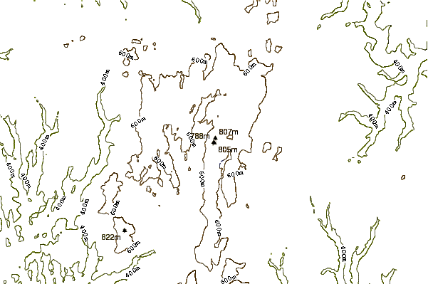
- Elevation: 810
- Difficulty: -
- Best months to climb: -
- Convenient center: -
Mount Ararat (Pennsylvania) climbers Notes
Eugene Clark from UNITED STATES writes:
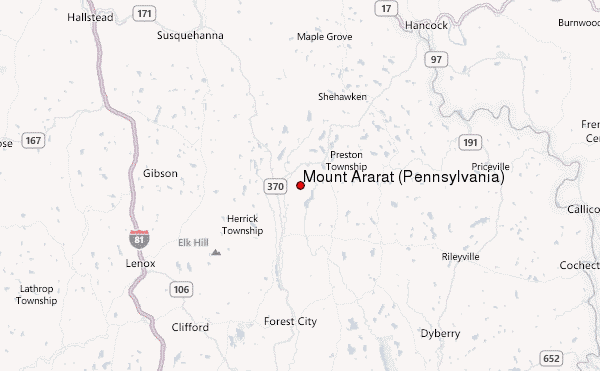
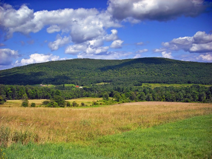
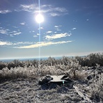
Mountain is easily accessible off of PA 670 in Preston Township. Hikers may have to park at the bottom gate (if it’s closed) or if the dirt road that goes to the top is blocked. It was for me. There were trees down. You follow the small road to the top. It took me about 30 mins to walk up, and was about a mile walk to the top. The difficulty I would say is moderate. I went in the winter, but the best times I think would be in the spring or fall, when the weather isn’t too hot or too cold. This mountain is Located just to the north of the city of Scranton.
2020-01-02 |
Click here to submit your own climbing note for Mount Ararat (Pennsylvania)
|
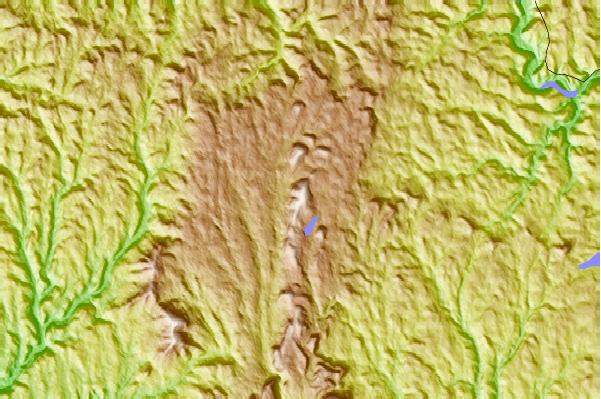
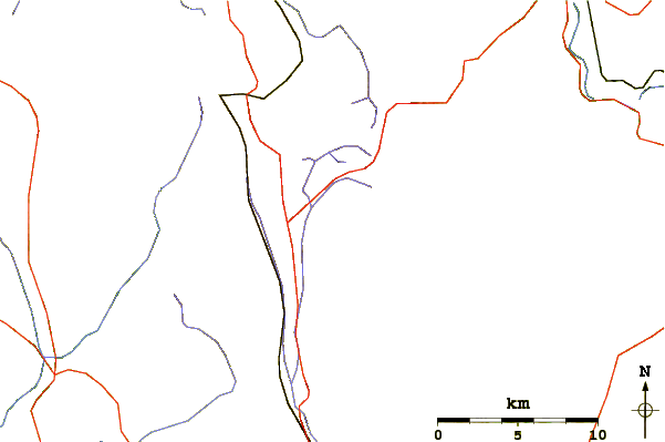
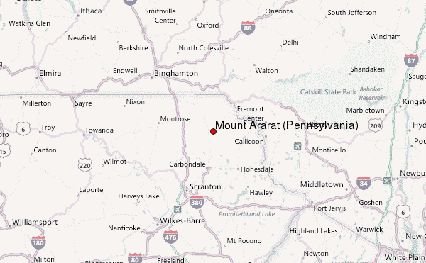
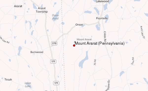
Select Mount Ararat (Pennsylvania) Location Map Detail:
Use this relief map to navigate to mountain peaks in the area of Mount Ararat (Pennsylvania).
10 other mountain peaks closest to Mount Ararat (Pennsylvania):
 Mount Ararat (Pennsylvania) – Climbing, Hiking & Mountaineering information