Mount Apo Guide
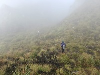
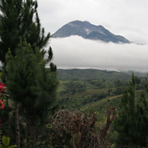
Mount Apo
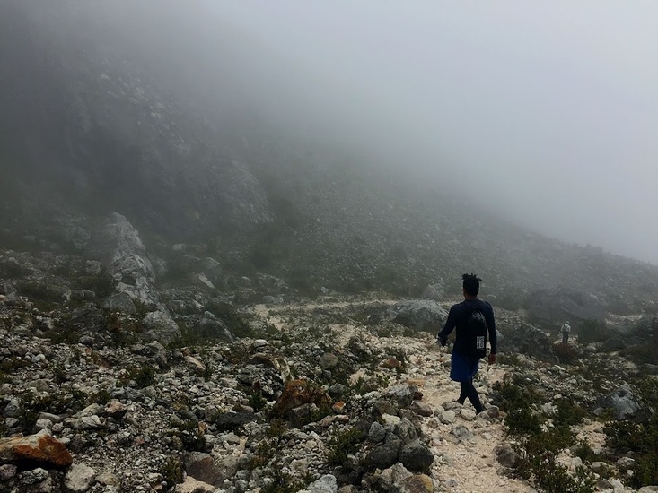
Photo credit: Peter Paul Espacio Ayson

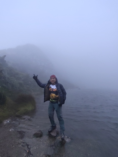
Mount Apo
Photo credit: Peter Paul Espacio Ayson
- Elevation: 3148
- Difficulty: Major Mountain Expedition
- Best months to climb: April
- Convenient center: Davao City
Mount Apo climbers Notes
Peter Paul E. Ayson from PHILIPPINES writes:
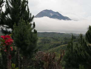
The best trail is through Sta. Cruz Municipality, Davao del Sur. In this trail, you will pass through 3 kilometers of rocks and boulders which are spill outs from the mouth of the dormant Mt. Apo volcano. The environment looks like you are trekking in Venus.
2021-02-01 |
Click here to read 2 more climbing notes for Mount Apo or submit your own
|
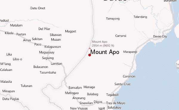
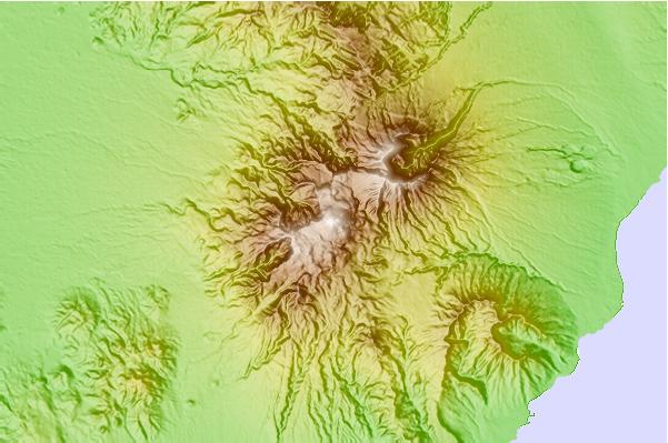
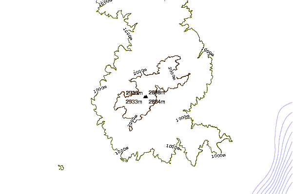
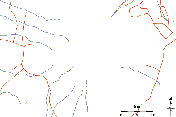
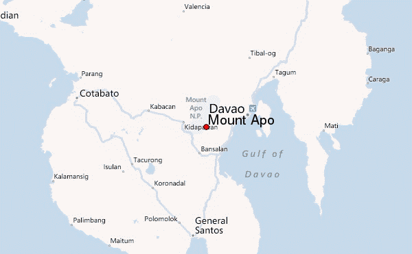
Select Mount Apo Location Map Detail:
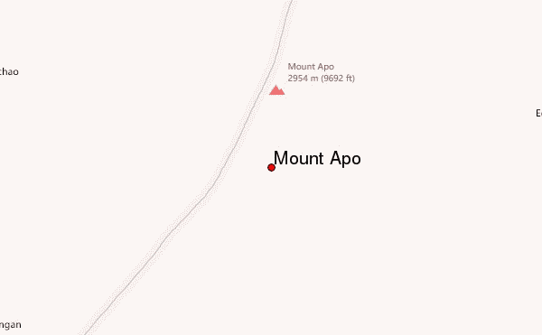
Use this relief map to navigate to mountain peaks in the area of Mount Apo.
10 other mountain peaks closest to Mount Apo:
 Mount Apo – Climbing, Hiking & Mountaineering information
