– Lat/Long: 50.21° N 124.08° W
 Mount Alfred – Climbing, Hiking & Mountaineering information

Mount Alfred Guide
- Elevation: 2381
- Difficulty: Basic Snow and Ice Climb
- Best months to climb: June, July, August, September
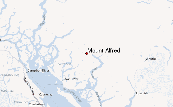
- Convenient center: Powell River, British Columbia
Mount Alfred climbers NotesBe the first to submit your climbers note! Please submit any useful information about climbing Mount Alfred that may be useful to other climbers. Consider things such as access and accommodation at the base of Mount Alfred, as well as the logistics of climbing to the summit. |
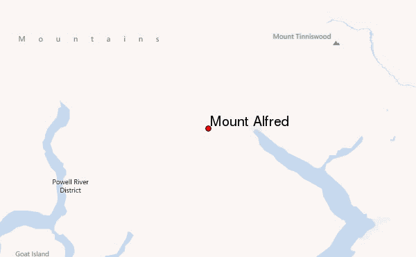
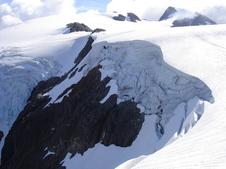
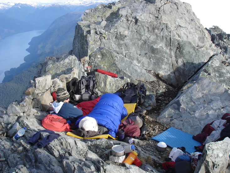
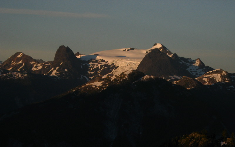
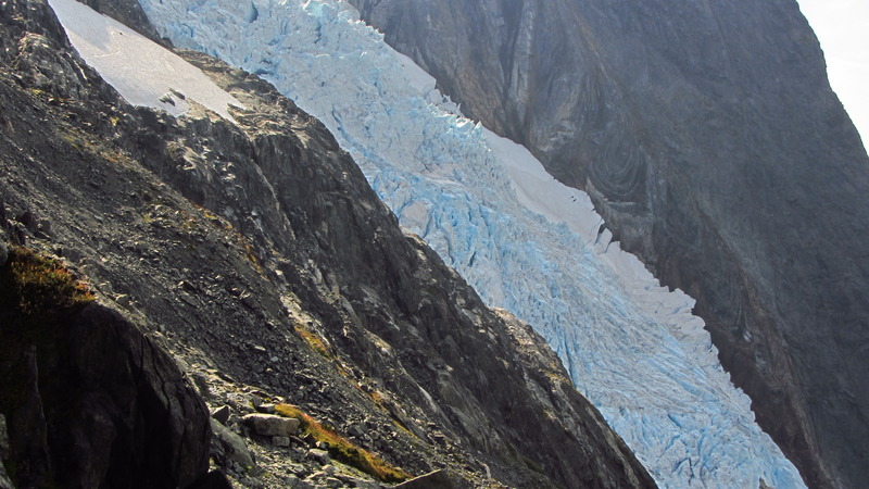
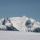
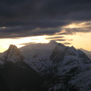
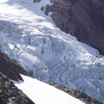
Latest Gallery Images for Mount Alfred

| Select a
mountain summit from the menu |
||
|
Select a Mountain Summit
|
||
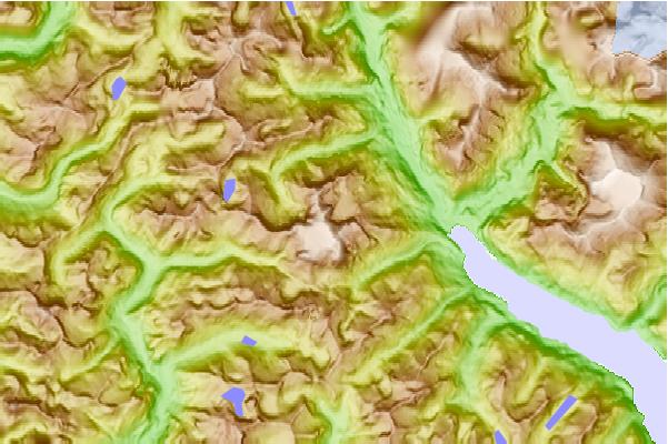
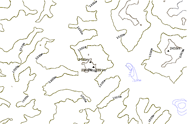
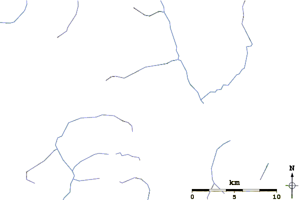
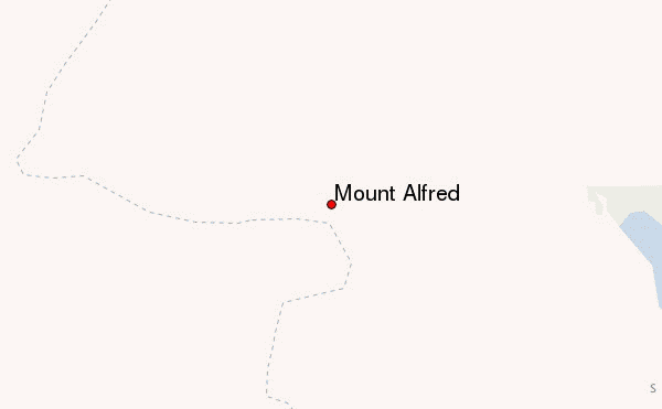
Use this relief map to navigate to mountain peaks in the area of Mount Alfred.
10 other mountain peaks closest to Mount Alfred:
| 1. | Mount Alice (British Columbia) (1798 m) | 5.6 km |
| 2. | Mount Victoria (British Columbia) (2088 m) | 7.8 km |
| 3. | Mount Arthur (British Columbia) (1619 m) | 14.8 km |
| 4. | Mount Wellington (British Columbia) (1727 m) | 14.8 km |
| 5. | Mount Helena (British Columbia) (1564 m) | 15.7 km |
| 6. | Mount Tinniswood (2682 m) | 19.8 km |
| 7. | Mount Frederick William (1818 m) | 20.9 km |
| 8. | Vulcan's Thumb (2290 m) | 42.5 km |
| 9. | Little Ring Mountain (2165 m) | 54.6 km |
| 10. | Ring Mountain (British Columbia) (2192 m) | 55.4 km |