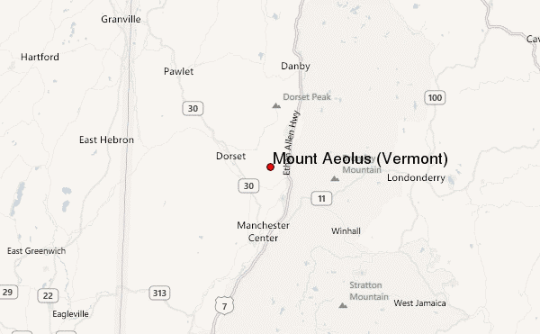
Mount Aeolus (Vermont) Guide
- Elevation: 985
- Difficulty: -
- Best months to climb: -
- Convenient center: -
Mount Aeolus (Vermont) climbers Notes
Herb Ogden from UNITED STATES writes:
Once the trail leaves the ATV track above the bat cave and upper vista, it soon becomes very hard to follow. There's barely a treadway for a while, and then even that disappears, so all you can do if follow occasional blue surveyor's tape on trees until you climb above the ledges and the treadway occasionally appears. With the trees leafed out, you often can't see from one tape to another, so you may end up bushwhacking. The old Dorset Ridge Trail from the summit north to the gap between Mt. Aeolus and Dorset Hill is totally unmarked and there is no tread way near the top and bottom. Just follow the ridge till you hit a woodroad that leads down to near the Freedley Quarry.
2020-08-27 |
Click here to submit your own climbing note for Mount Aeolus (Vermont)
|
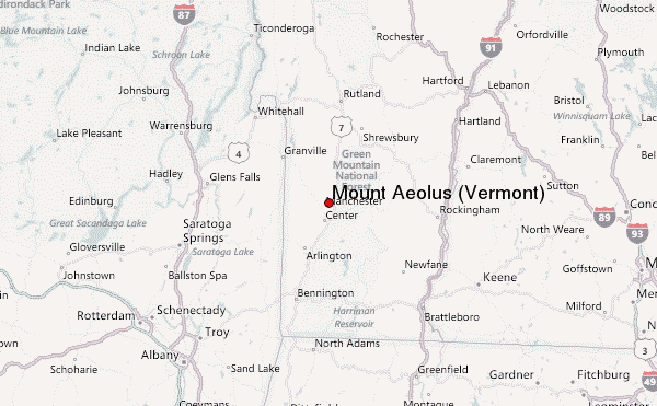
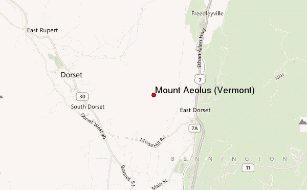
Select Mount Aeolus (Vermont) Location Map Detail:
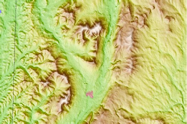
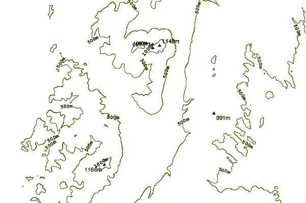
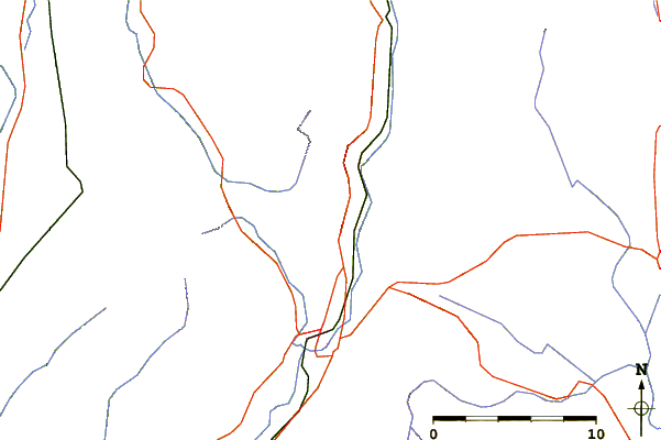
Use this relief map to navigate to mountain peaks in the area of Mount Aeolus (Vermont).
10 other mountain peaks closest to Mount Aeolus (Vermont):
 Mount Aeolus (Vermont) – Climbing, Hiking & Mountaineering information