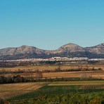
Montgrí Massif Guide
- Elevation: 311
- Difficulty: easy
- Best months to climb: All year
- Convenient center: Torroella de Montgrí
Montgrí Massif climbers Notes
Marc Bosch Matas from SPAIN writes:
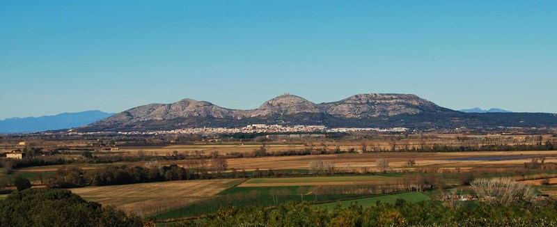
A family trip of zero difficulty (although, if it's rainy some parts get really slippery, so take care). It can be climbed all year round. The route starts at the village of Torroella de Montgrí and you can make the summit in around 45 minutes.
2013-02-06 |
Click here to submit your own climbing note for Montgrí Massif
|
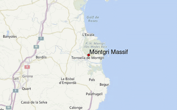
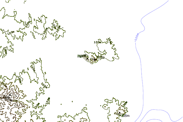
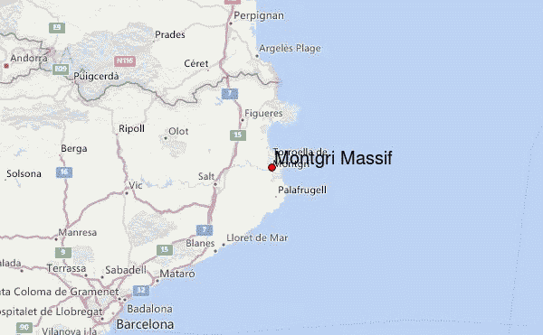
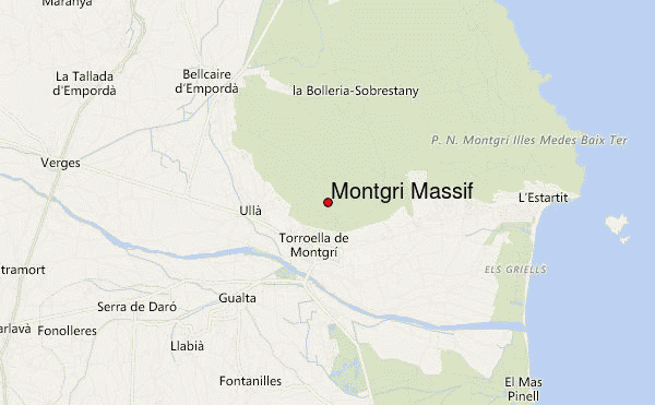
Select Montgrí Massif Location Map Detail:
Use this relief map to navigate to mountain peaks in the area of Montgrí Massif.
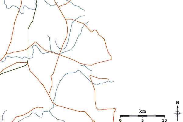
10 other mountain peaks closest to Montgrí Massif:
 Montgrí Massif (Montgri Massif) – Climbing, Hiking & Mountaineering information
