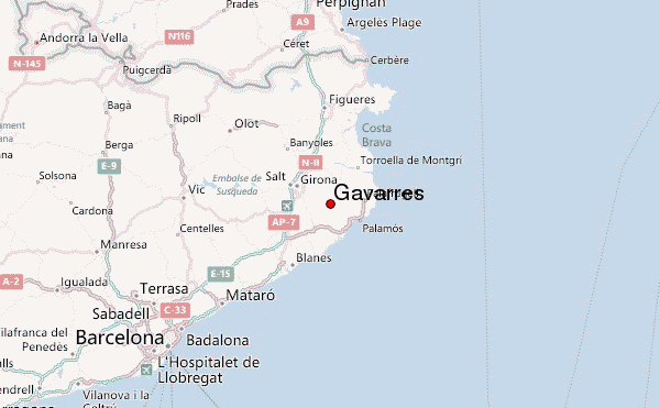
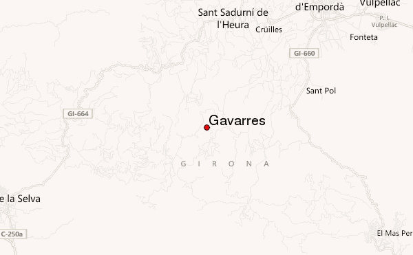
– Lat/Long: 41.92° N 2.98° E
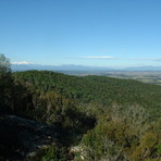
 Gavarres – Climbing, Hiking & Mountaineering information

Gavarres Guide
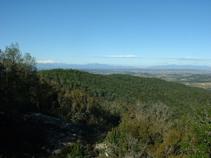
- Elevation: 532
- Difficulty: -
- Best months to climb: -
- Convenient center: -
Gavarres climbers NotesBe the first to submit your climbers note! Please submit any useful information about climbing Gavarres that may be useful to other climbers. Consider things such as access and accommodation at the base of Gavarres, as well as the logistics of climbing to the summit. |
| Select a
mountain summit from the menu |
||
|
Select a Mountain Summit
|
||
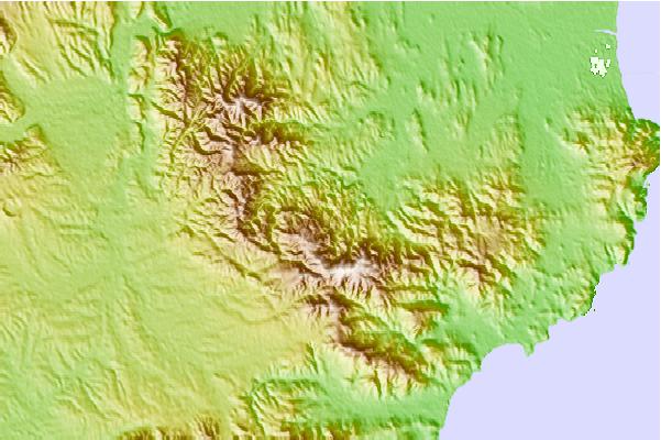
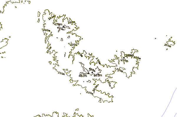
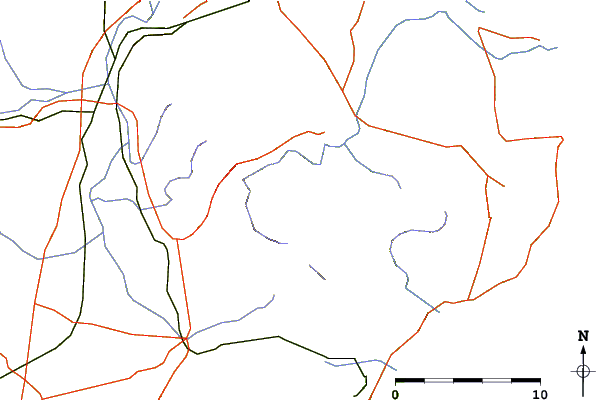
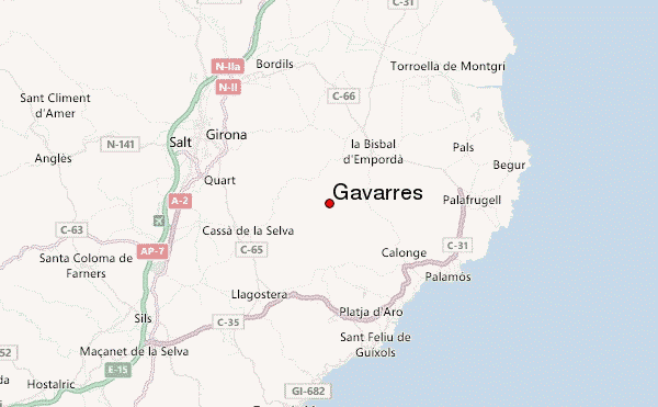
Use this relief map to navigate to mountain peaks in the area of Gavarres.
10 other mountain peaks closest to Gavarres:
| 1. | Molí d'en Frigola (80 m) | 3.1 km |
| 2. | Montgrí Massif (311 m) | 19.8 km |
| 3. | Rectoria De Cartellà (170 m) | 21.3 km |
| 4. | Ermita de Sant Pere Sestronques (195 m) | 26.4 km |
| 5. | Església de Sant Martí Sapresa (250 m) | 27.2 km |
| 6. | Sant Roc de la Barroca (550 m) | 28.6 km |
| 7. | Sant Roc d'Amer (591 m) | 28.7 km |
| 8. | Santuari de Rocacorba (930 m) | 29.4 km |
| 9. | Puigsou (991 m) | 29.8 km |
| 10. | Ermita de Santa Bàrbara (852 m) | 29.9 km |