– Lat/Long: 43.53° N 5.65° E
 Montagne Sainte Victoire – Climbing, Hiking & Mountaineering information

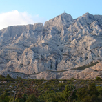
Montagne Sainte Victoire Guide
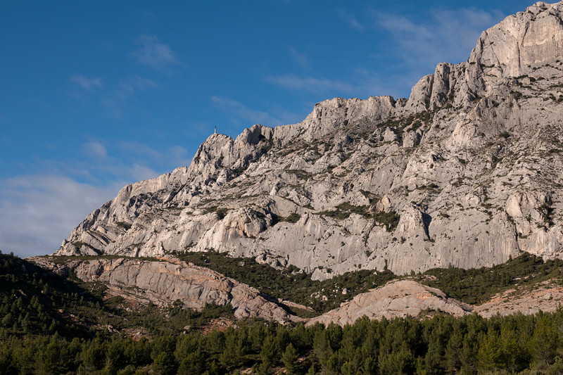
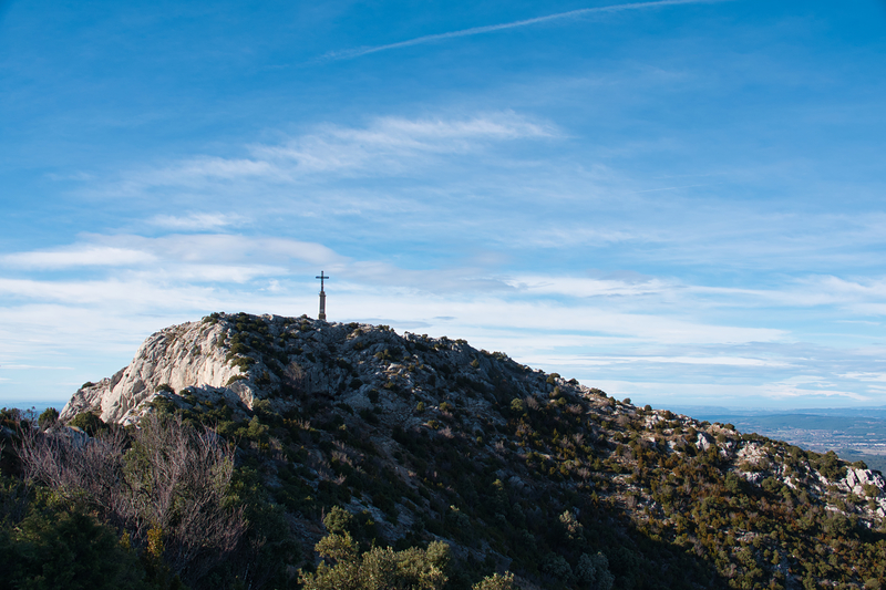
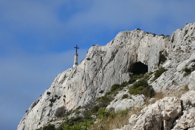
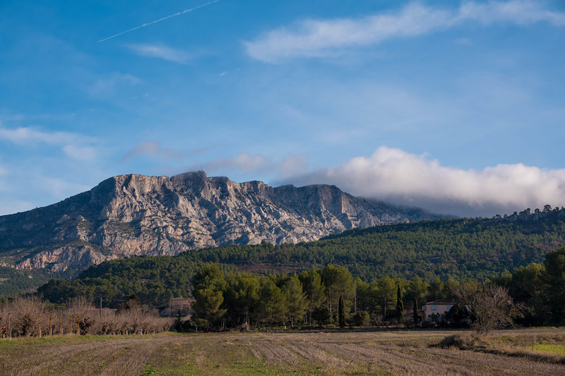
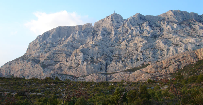
- Elevation: 1011
- Difficulty: Walk up
- Best months to climb: March, April, May, June, July, August, September, October
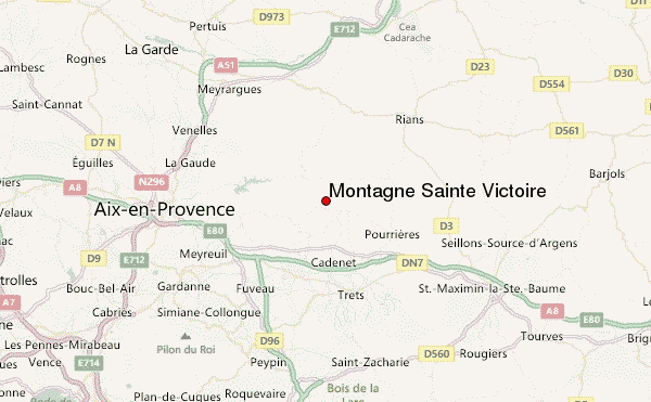
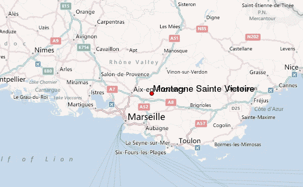
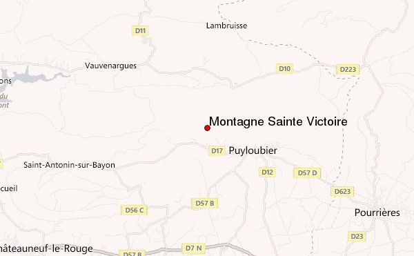
- Convenient center: Aix en Provence
Montagne Sainte Victoire climbers NotesBe the first to submit your climbers note! Please submit any useful information about climbing Montagne Sainte Victoire that may be useful to other climbers. Consider things such as access and accommodation at the base of Montagne Sainte Victoire, as well as the logistics of climbing to the summit. |
| Select a
mountain summit from the menu |
||
|
Select a Mountain Summit
|
||
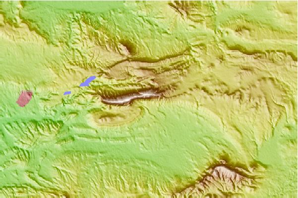
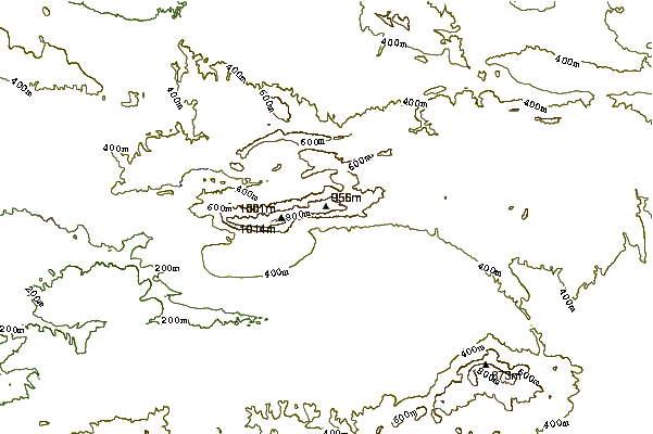
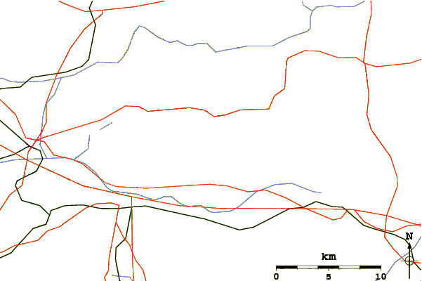
Use this relief map to navigate to mountain peaks in the area of Montagne Sainte Victoire.
10 other mountain peaks closest to Montagne Sainte Victoire:
| 1. | Garlaban (715 m) | 23.8 km |
| 2. | Pic De Bertagne (1049 m) | 26.3 km |
| 3. | Mont Puget (563 m) | 37.9 km |
| 4. | Mont Faron (584 m) | 49.2 km |
| 5. | Chalet Reynard (1417 m) | 73.9 km |
| 6. | Le Cousson (1516 m) | 74.8 km |
| 7. | Mont Ventoux (1912 m) | 76.4 km |
| 8. | EVO Bike Park (904 m) | 81.3 km |
| 9. | Bike Park de la Mouliere (1578 m) | 93.2 km |
| 10. | Bike Park du Grand Puy (1750 m) | 105.1 km |