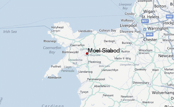
– Lat/Long: 53.07° N 3.95° W
 Moel Siabod – Climbing, Hiking & Mountaineering information

Moel Siabod Guide
- Elevation: 872
- Difficulty: Walk up
- Best months to climb: January, February, March, April, May, June, July, August, September, October, November, December
- Convenient center: Capel Curig/Betws-y-Coed
Moel Siabod climbers NotesBe the first to submit your climbers note! Please submit any useful information about climbing Moel Siabod that may be useful to other climbers. Consider things such as access and accommodation at the base of Moel Siabod, as well as the logistics of climbing to the summit. |
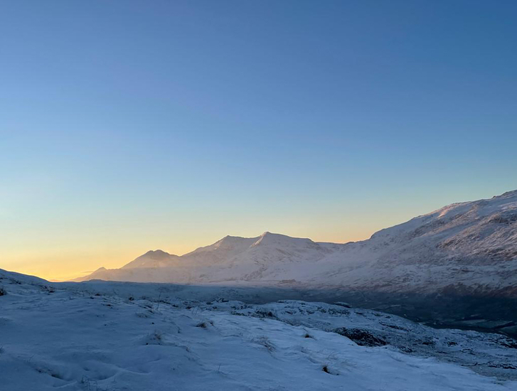
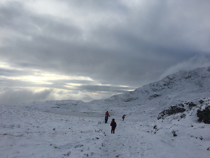
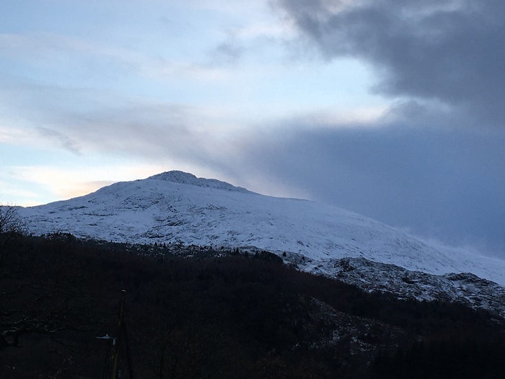
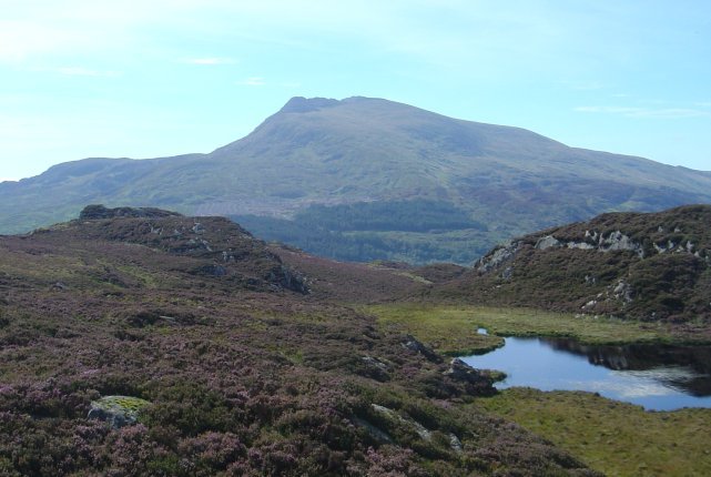
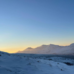
Latest Gallery Images for Moel Siabod

| Select a
mountain summit from the menu |
||
|
Select a Mountain Summit
|
||
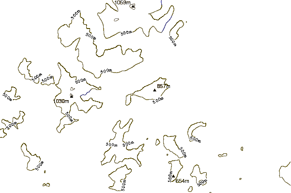
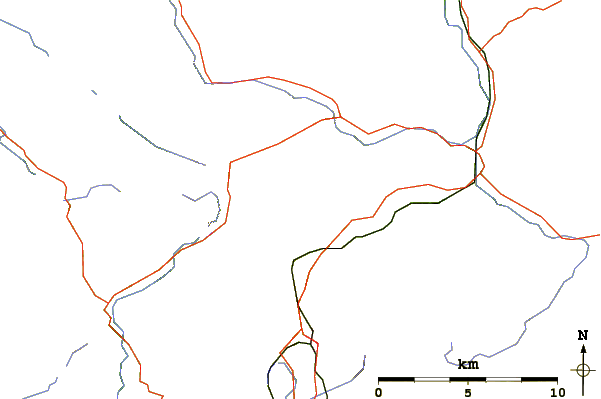
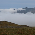
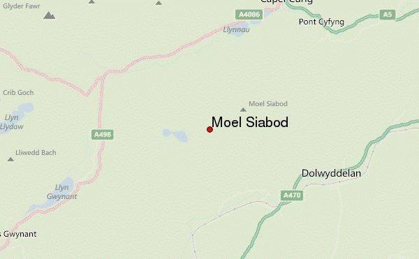
Use this relief map to navigate to mountain peaks in the area of Moel Siabod.
10 other mountain peaks closest to Moel Siabod:
| 1. | Y Foel Goch (805 m) | 4.5 km |
| 2. | Gallt yr Ogof (763 m) | 4.5 km |
| 3. | Glyder Fach (990 m) | 5.0 km |
| 4. | Gallt y Wenallt (619 m) | 5.2 km |
| 5. | Castell y Gwynt (972 m) | 5.8 km |
| 6. | Moel Penamnen (623 m) | 6.0 km |
| 7. | Y Gamallt (590 m) | 6.0 km |
| 8. | Y Ro Wen (594 m) | 6.0 km |
| 9. | Tryfan (915 m) | 6.3 km |
| 10. | Ysgafell Wen North Top (669 m) | 6.4 km |