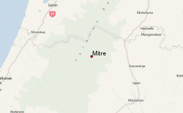
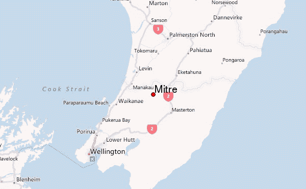
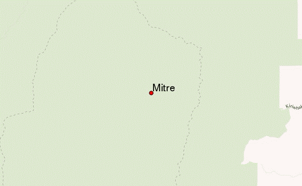
– Lat/Long: 40.80° S 175.46° E
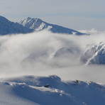
 Mitre – Climbing, Hiking & Mountaineering information

Mitre Guide
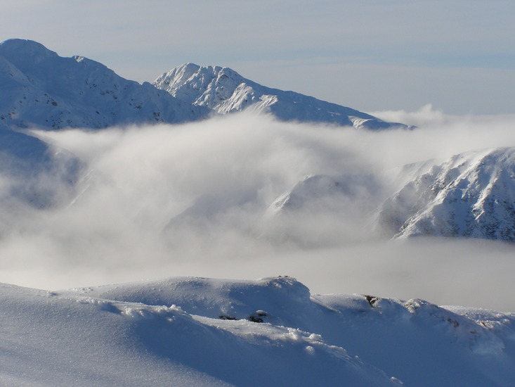
- Elevation: 1571
- Difficulty: -
- Best months to climb: -
- Convenient center: Greytown
Mitre climbers NotesBe the first to submit your climbers note! Please submit any useful information about climbing Mitre that may be useful to other climbers. Consider things such as access and accommodation at the base of Mitre, as well as the logistics of climbing to the summit. |
| Select a
mountain summit from the menu |
||
|
Select a Mountain Summit
|
||
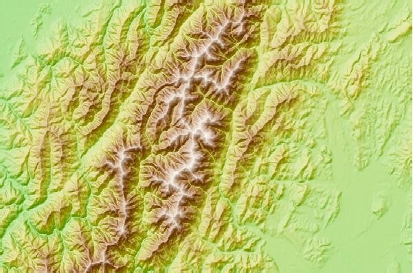
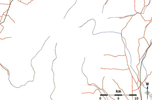
Use this relief map to navigate to mountain peaks in the area of Mitre.
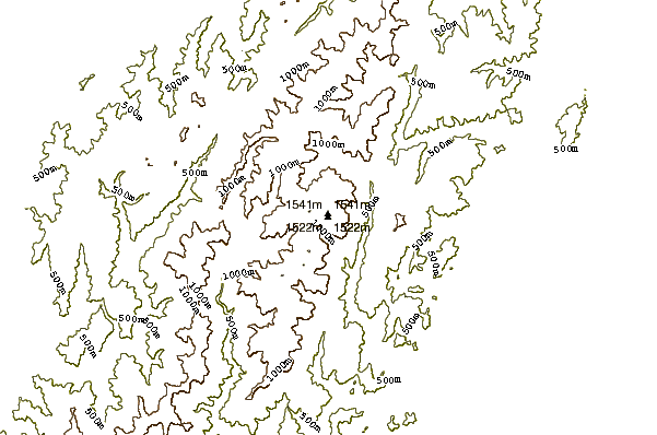
10 other mountain peaks closest to Mitre:
| 1. | Tarn Ridge Hut (1349 m) | 2.1 km |
| 2. | Dorset Ridge Hut (1148 m) | 3.0 km |
| 3. | Mid King Bivvy (1146 m) | 3.2 km |
| 4. | Cow Creek Hut (499 m) | 3.8 km |
| 5. | Arete Forks Hut (667 m) | 3.9 km |
| 6. | Mitre Flats Hut (382 m) | 3.9 km |
| 7. | Blue Range Hut (888 m) | 5.2 km |
| 8. | Carkeek Hut (1062 m) | 5.2 km |
| 9. | Mcgregor Bivvy (1176 m) | 5.3 km |
| 10. | Arete Hut (1355 m) | 5.9 km |