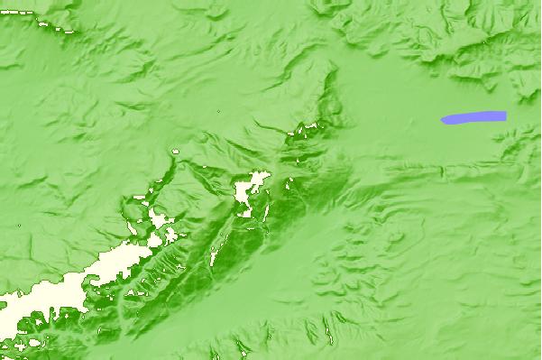
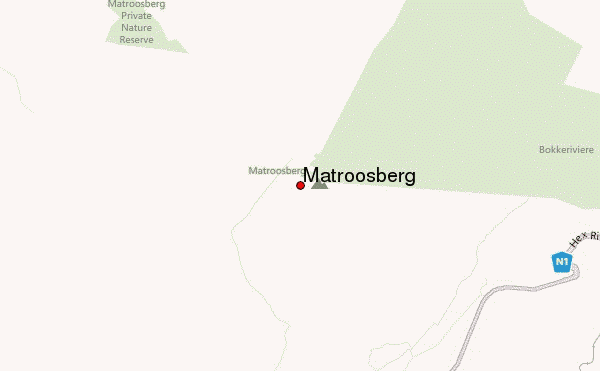
Matroosberg originally received its name due to a rock formation visible from the Hex River Valley and N1 highway. This rock formation ¾’s up the mountain shows a very distinct pinnacle, which is the “Matroos” (the Afrikaans for ‘sailor’) alongside his ship. “Berg” is the Afrikaans for ‘mountain’. Therefore “Matroosberg” roughly translated means ‘sailor mountain’. On Google Earth this formation is found at 33°23'45.30"S, 19°40'17.28"E.
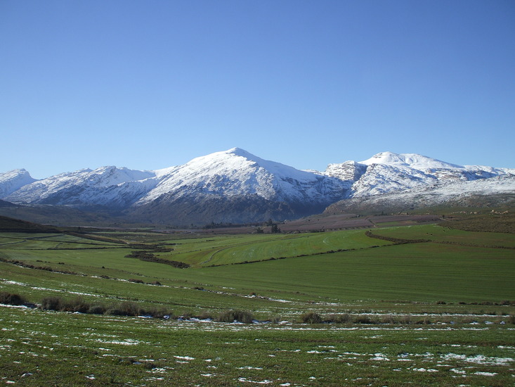
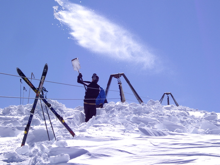
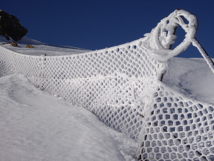
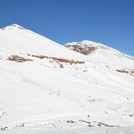
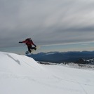
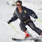
In the winter it becomes very cold on the mountain with regular snowfall. There is a small private ski resort on the northern side of the mountain.
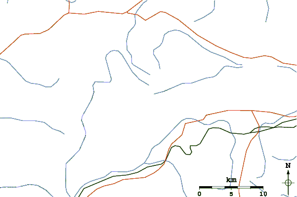
Matroosberg can be ascended from either
1. The southern side (De Doorns or Hex River Valley), or
2. The northern side (Ceres) of the mountain.
1. SOUTHERN ROUTE (hiking path):
---------------------------------
The route from the De Doorns side is a strenuous hike from approximately 500m to the top at 2250m, i.e. a total vertical ascent of approximately 1750m. You should budget at least 5 hours for going up, and depending on the condition of your knees(!), about 3-4 hours down. The route starts on the farm Tweespruit. You can contact the farmer there to arrange access and further detailed route description: Retief Jordaan at phone number (+27) 023 356 2226. He is an avid mountain climber and would most likely volunteer to accompany you up a third of the way. He is also the current record holder for climbing the mountain (along the southern route) in 1 hour 45 minutes.
It is possible to camp on the mountain following this route. It is recommended you discuss this with the farmer who will give you all the information you need.
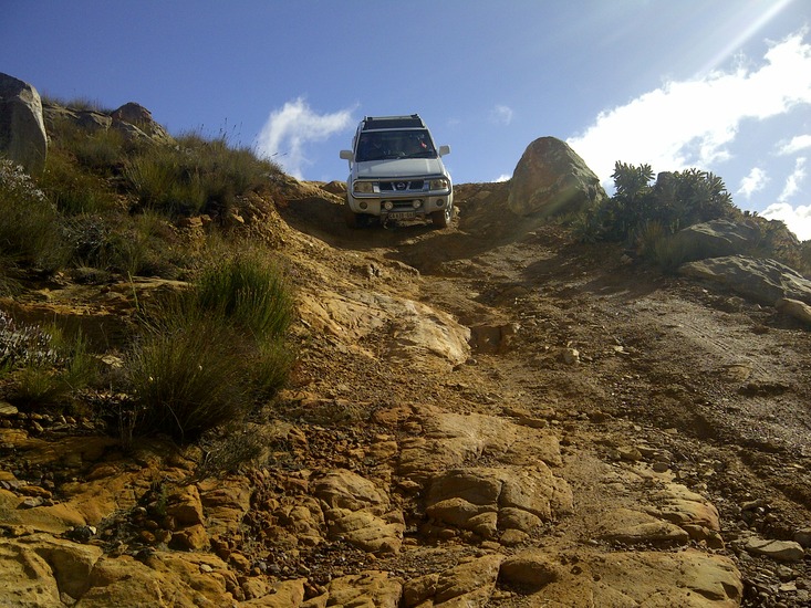
2. NORTHERN ROUTE (4x4 track):
---------------------------------
The route from Ceres side of the mountain is a much less difficult route from approximately 1150m to the top at 2250, i.e. a total vertical ascent of approximately 1100m. Also, this route has a well used 4x4 track to the top of the mountain and is therefore less steep than the route from De Doorns. For more details, visit the website matroosberg<dot>com.
Notes compiled by Christian Jordaan on 13-07-2012
 Matroosberg – Climbing, Hiking & Mountaineering information

