Mahya Dağı Guide
- Elevation: 1031
- Difficulty: -
- Best months to climb: -
- Convenient center: -
Mahya Dağı climbers Notes
Rahim Yalcintas from TURKEY writes:
I always travel to this mountain region (Istranca or Yildiz(Star) Mountains). You can reach the top point called Mahya Tepe by your daily car without any problem on the road.
There is TV tower and Military Observation station on the highest point of the mountain.
Around the top there is very beautiful forest, during winter much of snow. Recommended to see this area when you there.
Enjoy.
2010-10-26 |
Click here to submit your own climbing note for Mahya Dağı
|
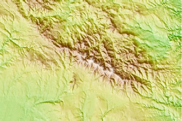
Select Mahya Dağı Location Map Detail:
Use this relief map to navigate to mountain peaks in the area of Mahya Dağı.
10 other mountain peaks closest to Mahya Dağı:
 Mahya Dağı (Mahya Dagl) – Climbing, Hiking & Mountaineering information