– Lat/Long: 38.02° N 2.78° W
 Las Banderillas
Weather Forecast, SpainIssued: 1 pm Mon 03 Aug Local TimeUpdates in: hr min sUpdate imminent
Issued: 1 pm Mon 03 Aug Local Time
Updates in:
Update imminent hr min s

Issued: 1 pm Mon 03 Aug Local Time
Updates in:
Update imminent hr min s
Days 1–4 Weather SummaryMostly dry. Warm (max 32°C on Wed afternoon, min 21°C on Tue morning). Wind will be generally light. | Days 5–7 Weather SummaryMostly dry. Warm (max 34°C on Fri afternoon, min 25°C on Fri night). Wind will be generally light. | ||||||||||||||||
Mon 3 | Tuesday 4 | Wednesday 5 | Thursday 6 | Friday 7 | Saturday 8 | ||||||||||||
PM | night | AM | PM | night | AM | PM | night | AM | PM | night | AM | PM | night | AM | PM | night | |
cloudy | some clouds | clear | clear | clear | clear | clear | clear | clear | clear | clear | clear | clear | clear | clear | clear | rain shwrs | |
Cloud base (m) | 6400 | 4700 | 5150 | ||||||||||||||
km/h | |||||||||||||||||
 |  |  |  |  |  | ||||||||||||
— | — | — | — | — | — | — | — | — | — | — | — | — | — | — | — | — | |
mm | — | — | — | — | — | — | — | — | — | — | — | — | — | — | — | — | 0.1 |
max °C | 29 | 29 | 25 | 29 | 28 | 27 | 32 | 30 | 28 | 32 | 32 | 29 | 34 | 33 | 30 | 34 | 32 |
min °C | 28 | 22 | 21 | 28 | 23 | 24 | 30 | 24 | 24 | 31 | 27 | 26 | 32 | 25 | 25 | 33 | 27 |
chill °C | 28 | 22 | 21 | 28 | 23 | 24 | 30 | 24 | 24 | 31 | 27 | 26 | 32 | 25 | 25 | 33 | 27 |
Freezing level m | 4650 | 4850 | 4850 | 4950 | 5050 | 4800 | 4950 | 4750 | 4800 | 5000 | 4850 | 4850 | 5000 | 4900 | 4800 | 4950 | 4850 |
— | — | 7:16 | — | — | 7:16 | — | — | 7:16 | — | — | 7:18 | — | — | 7:18 | — | — | |
— | 9:17 | — | — | 9:16 | — | — | 9:15 | — | — | 9:15 | — | — | 9:14 | — | — | 9:13 | |
Loading...
Las Banderillas Weather (Days 0-3):
The weather forecast for Las Banderillas is: Mostly dry. Warm (max 32°C on Wed afternoon, min 21°C on Tue morning). Wind will be generally light.
Las Banderillas Weather (Days 3-6):
Mostly dry. Warm (max 34°C on Fri afternoon, min 25°C on Fri night). Wind will be generally light.
This table gives the weather forecast for Las Banderillas at the specific elevation of 1000 m. Our advanced weather models allow us to provide distinct weather forecasts for several elevations of Las Banderillas. To see the weather forecasts for the other elevations, use the tab navigation above the table. For a wider overview of the weather, consult the Weather Map of Spain.
| Weather Station | Temp. | Weather | Wind | Gusts | Cloud / Visibility |
|---|---|---|---|---|---|
Jaen (8417 -0) | |||||
Tabernas III | |||||
Sierra Nevada | |||||
NIJARMAR | |||||
* NOTE: not all weather observatories update at the same frequency which is the reason why some locations may show data from stations that are further away than known closer ones.
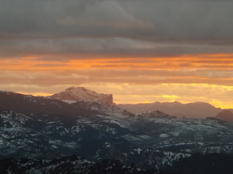
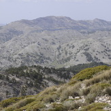
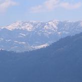
Las Banderillas Photos
View all
Sierra de Segura photos (2) |
Baetic System photos (59) |
photos from mountains in Spain (451) |
all photos
 Upload new photo
las banderillas
Las Banderillas desde la cima del Empanadas
Las Banderillas