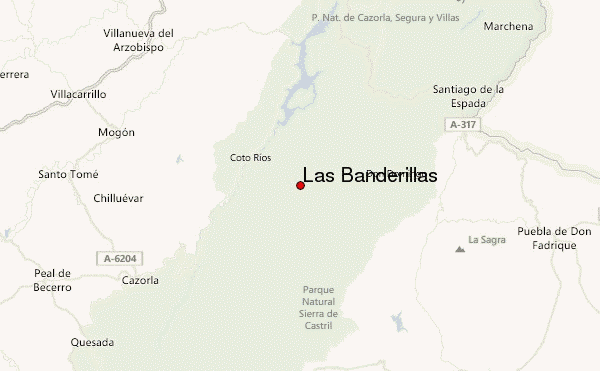
– Lat/Long: 38.02° N 2.78° W
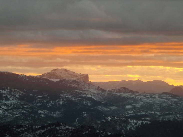
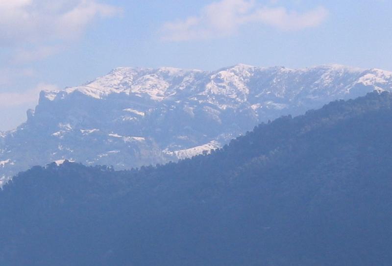
 Las Banderillas – Climbing, Hiking & Mountaineering information

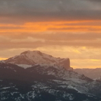
Las Banderillas Guide
- Elevation: 1993
- Difficulty: -
- Best months to climb: -
- Convenient center: -
Las Banderillas climbers NotesBe the first to submit your climbers note! Please submit any useful information about climbing Las Banderillas that may be useful to other climbers. Consider things such as access and accommodation at the base of Las Banderillas, as well as the logistics of climbing to the summit. |
| Select a
mountain summit from the menu |
||
|
Select a Mountain Summit
|
||
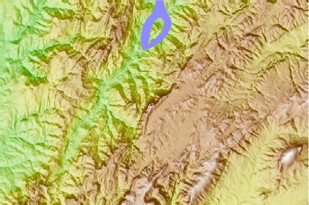
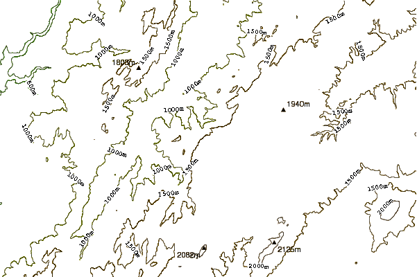
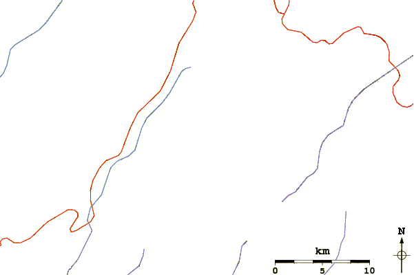
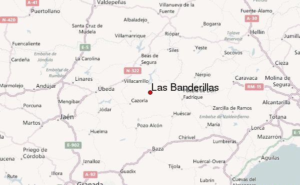
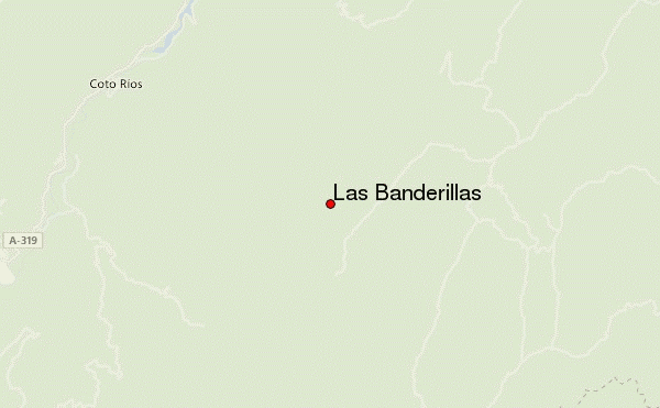
Use this relief map to navigate to mountain peaks in the area of Las Banderillas.
10 other mountain peaks closest to Las Banderillas:
| 1. | Refugio Banderillas (viejo) (1980 m) | 0.6 km |
| 2. | Refugio Banderillas (nuevo) (1980 m) | 0.6 km |
| 3. | Refugio Cañada del Rincon (1700 m) | 3.6 km |
| 4. | Refugio Campo Espino (1700 m) | 5.6 km |
| 5. | Refugio Monterilla (1750 m) | 6.8 km |
| 6. | Refugio Cañada Mergosa (1720 m) | 7.5 km |
| 7. | Refugio Collado de la Paja (1300 m) | 7.7 km |
| 8. | Refugio Rambla Seca (1593 m) | 7.8 km |
| 9. | Refugio Prados del Conde (1792 m) | 10.6 km |
| 10. | Refugio de la Morra del Cerezo (1668 m) | 11.2 km |