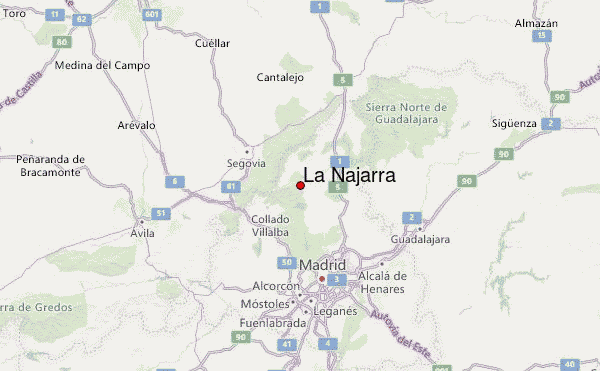
– Lat/Long: 40.82° N 3.83° W
 La Najarra – Climbing, Hiking & Mountaineering information

La Najarra Guide
- Elevation: 2105
- Difficulty: Walk up
- Best months to climb: -
- Convenient center: Manzanares el Real
La Najarra climbers NotesBe the first to submit your climbers note! Please submit any useful information about climbing La Najarra that may be useful to other climbers. Consider things such as access and accommodation at the base of La Najarra, as well as the logistics of climbing to the summit. |
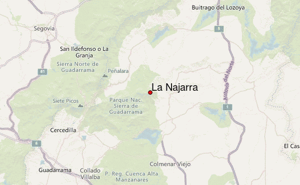
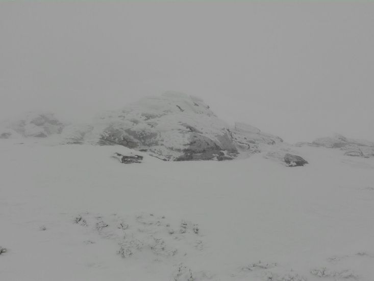
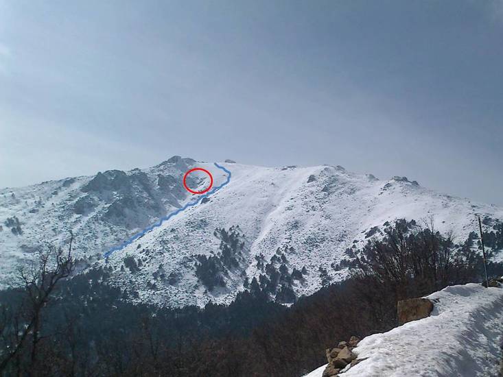
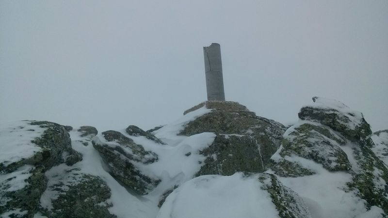
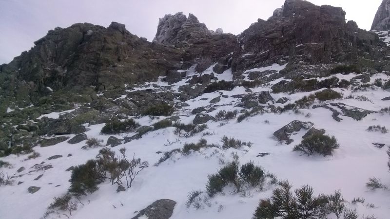
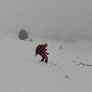
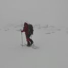
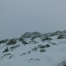
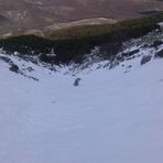
Latest Gallery Images for La Najarra
| Select a
mountain summit from the menu |
||
|
Select a Mountain Summit
|
||
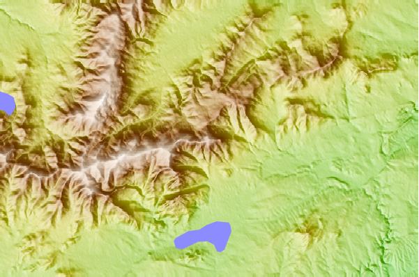
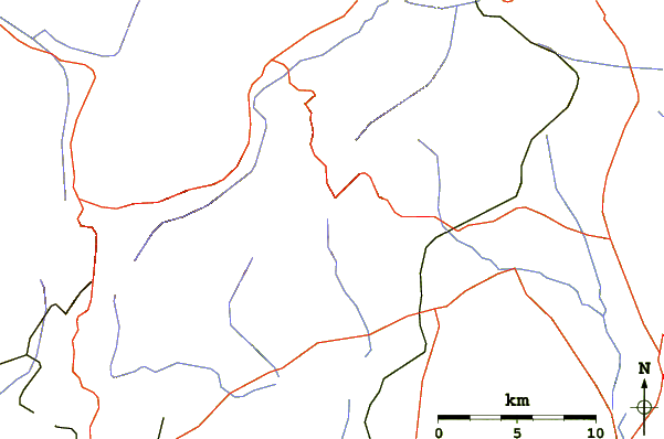
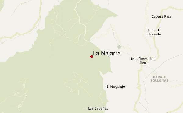
Use this relief map to navigate to mountain peaks in the area of La Najarra.
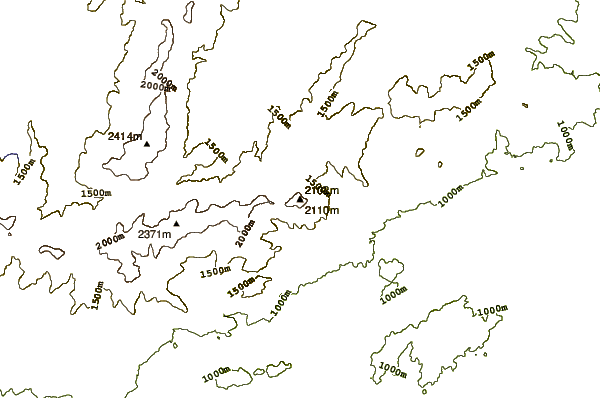
10 other mountain peaks closest to La Najarra:
| 1. | Refugio NAJARRA (2100 m) | 0.9 km |
| 2. | Refugio MORCUERA (1733 m) | 2.4 km |
| 3. | Refugio AGUILON (1550 m) | 3.2 km |
| 4. | Refugio Pececillo (1620 m) | 6.3 km |
| 5. | Refugio EL PALANCAR (1367 m) | 7.4 km |
| 6. | Refugio GINER DE LOS RIOS (1200 m) | 7.4 km |
| 7. | Refugio CANENCIA (1230 m) | 9.6 km |
| 8. | Refugio PINGARRON (1825 m) | 10.9 km |
| 9. | Mount Peñalara (2428 m) | 11.0 km |
| 10. | Refugio Zabala (2079 m) | 11.3 km |