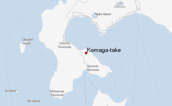
– Lat/Long: 42.07° N 140.68° E
 Komaga-take – Climbing, Hiking & Mountaineering information

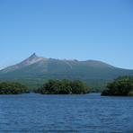
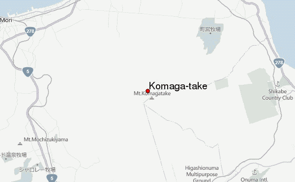
Komaga-take Guide
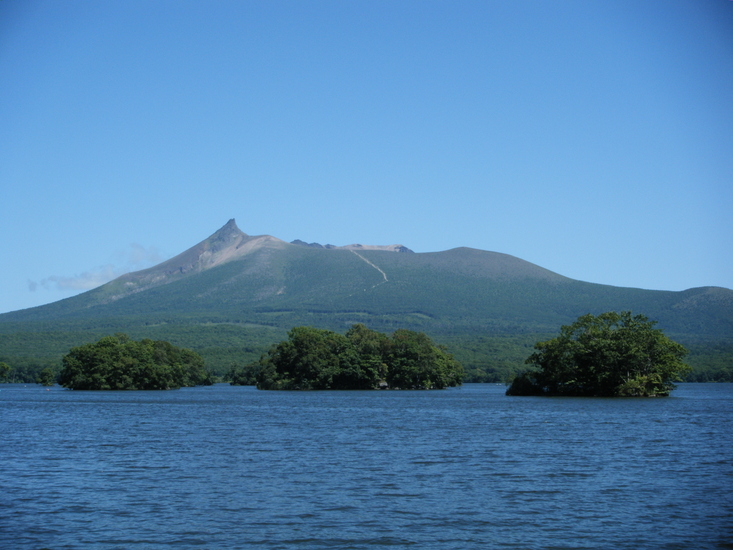
- Elevation: 1140
- Difficulty: -
- Best months to climb: -
- Convenient center: -
Komaga-take climbers NotesBe the first to submit your climbers note! Please submit any useful information about climbing Komaga-take that may be useful to other climbers. Consider things such as access and accommodation at the base of Komaga-take, as well as the logistics of climbing to the summit. |
| Select a
mountain summit from the menu |
||
|
Select a Mountain Summit
|
||
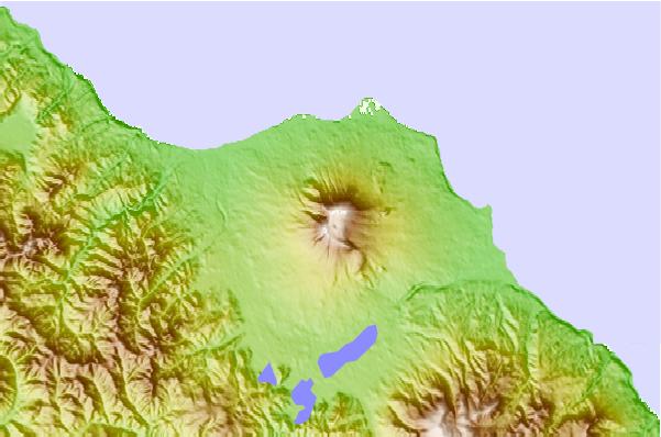
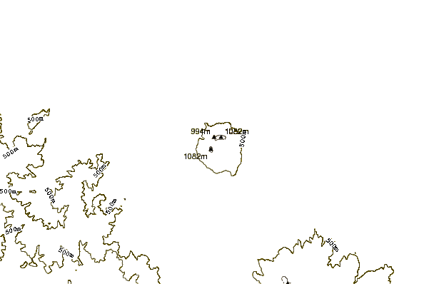
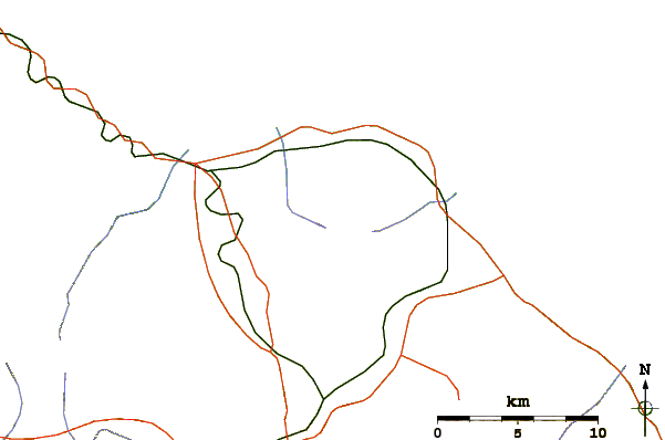
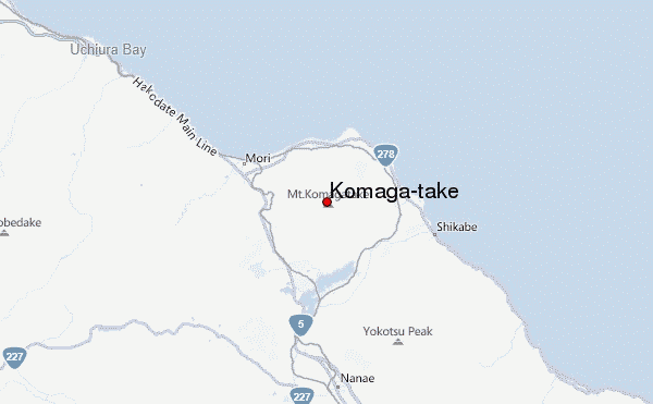
Use this relief map to navigate to mountain peaks in the area of Komaga-take.
10 other mountain peaks closest to Komaga-take:
| 1. | Mount Maru (Esan) (691 m) | 41.8 km |
| 2. | Mount E (618 m) | 49.9 km |
| 3. | Mount Usu (733 m) | 54.1 km |
| 4. | Showashinzan (398 m) | 54.7 km |
| 5. | Mount Horohoro (1322 m) | 72.9 km |
| 6. | Shiribetsu (1107 m) | 80.0 km |
| 7. | Yotei (1893 m) | 84.8 km |
| 8. | Mount Tappukoppu (661 m) | 86.0 km |
| 9. | Niseko Annupuri Bike Park (971 m) | 87.6 km |
| 10. | Shikotsu (1320 m) | 88.3 km |