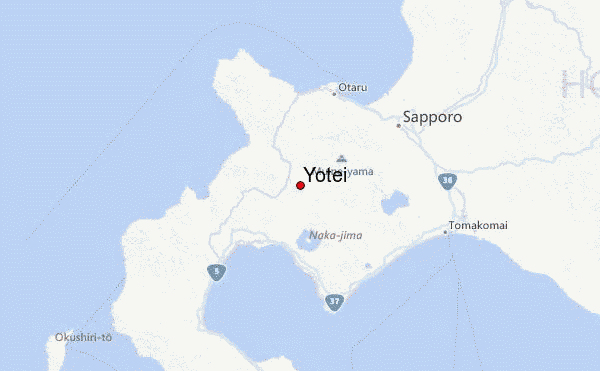
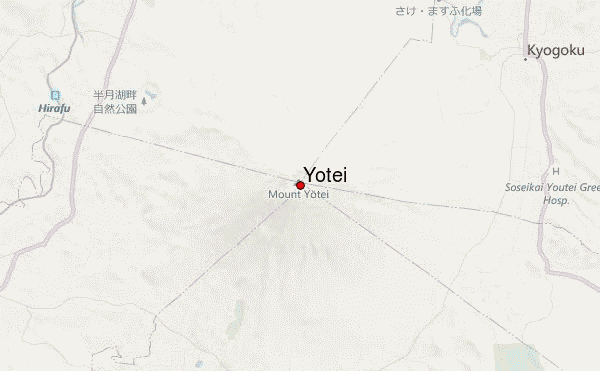
– Lat/Long: 42.83° N 140.81° E
 Yotei – Climbing, Hiking & Mountaineering information

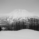
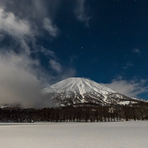
Yotei Guide
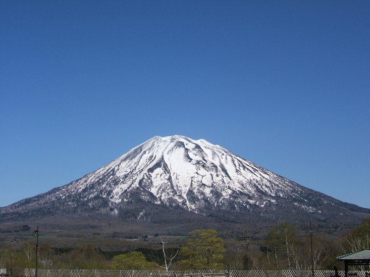

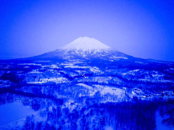
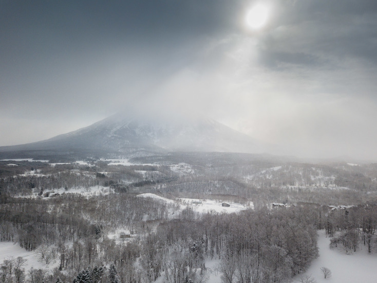
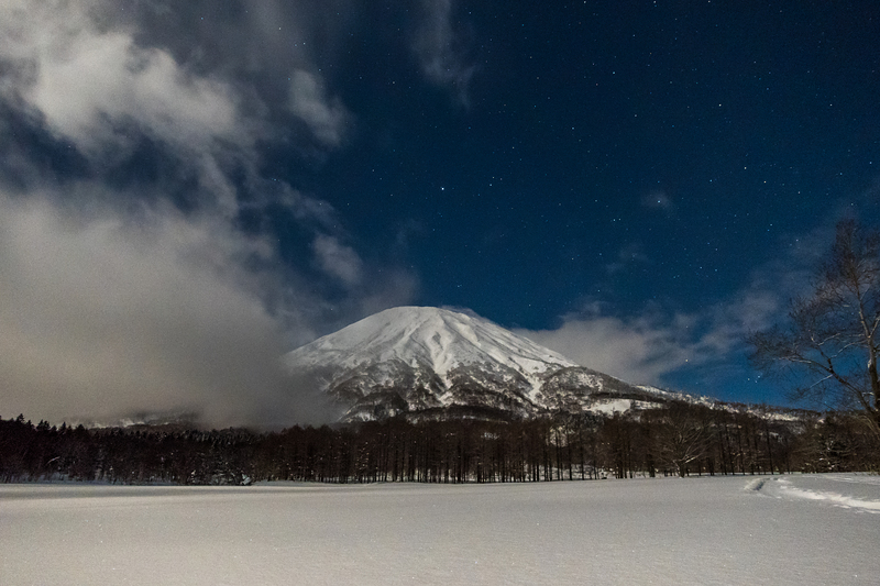
- Elevation: 1893
- Difficulty: -
- Best months to climb: -
- Convenient center: -
Yotei climbers Notes
|
| Select a
mountain summit from the menu |
||
|
Select a Mountain Summit
|
||
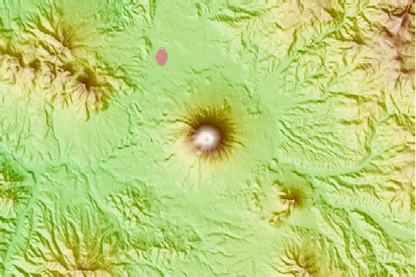
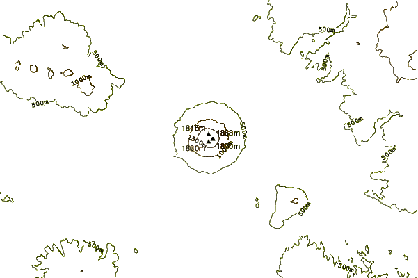
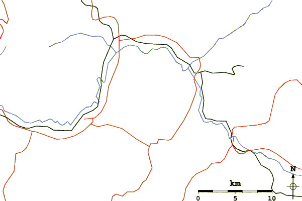
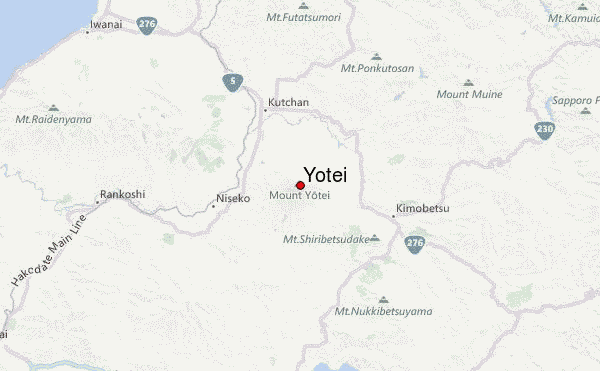
Use this relief map to navigate to mountain peaks in the area of Yotei.
10 other mountain peaks closest to Yotei:
| 1. | Grand Hirafu Bike Park (752 m) | 10.4 km |
| 2. | Shiribetsu (1107 m) | 11.1 km |
| 3. | Niseko Annupuri Bike Park (971 m) | 12.8 km |
| 4. | Iwaonupuri (1154 m) | 15.6 km |
| 5. | Mount Mekunnai (1220 m) | 28.9 km |
| 6. | Mount Raiden (1211 m) | 28.9 km |
| 7. | Mount Usu (733 m) | 31.9 km |
| 8. | Showashinzan (398 m) | 32.0 km |
| 9. | Mount Fure (1046 m) | 34.2 km |
| 10. | Mount Horohoro (1322 m) | 34.3 km |