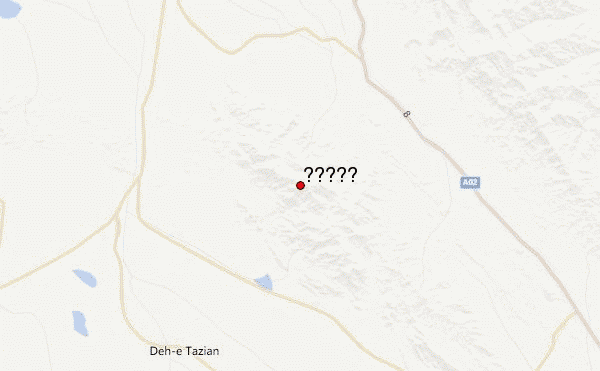
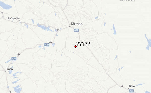
– Lat/Long: 29.91° N 57.20° E
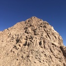
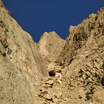
 جوپار (Jupar or Jupaar) – Climbing, Hiking & Mountaineering information

جوپار Guide
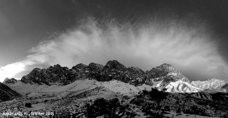
- Elevation: 4170
- Difficulty: Technical Climb
- Best months to climb: February, March, May, June
- Convenient center: Kerman
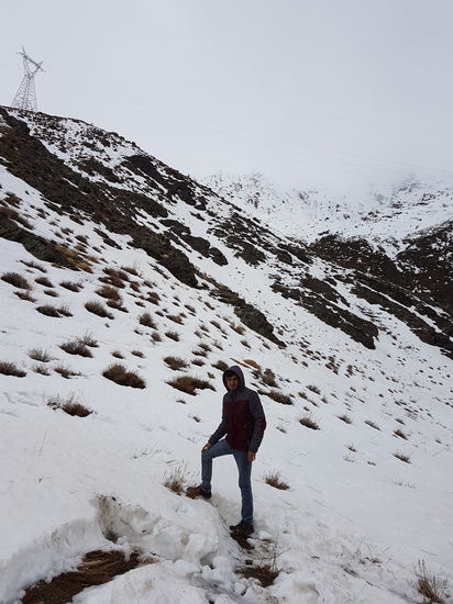
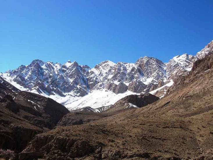
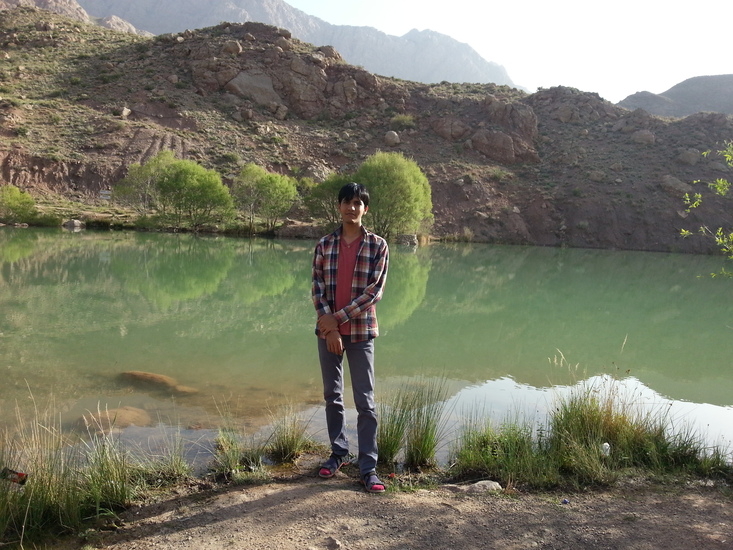
جوپار climbers Notes
Click here to read 1 more climbing note for جوپار or submit your own |


| Select a
mountain summit from the menu |
||
|
Select a Mountain Summit
|
||
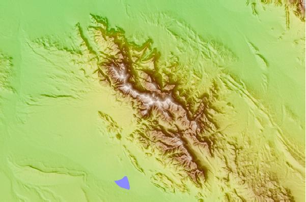
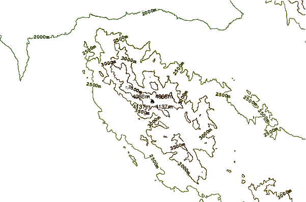
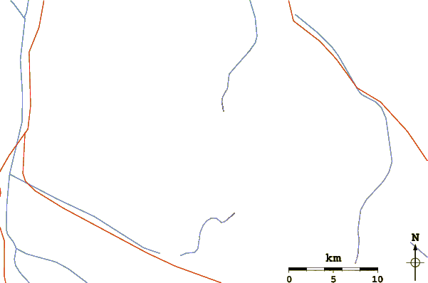
Use this relief map to navigate to mountain peaks in the area of جوپار.
10 other mountain peaks closest to جوپار:
| 1. | Mt Seh Konj (3943 m) | 38.0 km |
| 2. | Hazaran (4500 m) | 44.9 km |
| 3. | هَزار (4500 m) | 45.0 km |
| 4. | Bazman (3490 m) | 340.9 km |
| 5. | شيركوه (4055 m) | 354.1 km |
| 6. | تفتان (4050 m) | 408.6 km |
| 7. | Jebel Qihwi (1794 m) | 417.7 km |
| 8. | Jabal Bil Ays (1934 m) | 451.7 km |
| 9. | Ghalat (2990 m) | 472.4 km |
| 10. | Jabal Yibir (1527 m) | 483.6 km |