– Lat/Long: 9.53° S 77.30° W
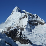
 Huantsan – Climbing, Hiking & Mountaineering information

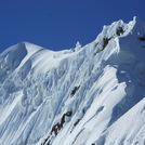
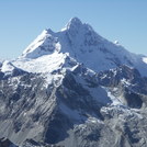
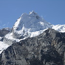
Huantsan Guide
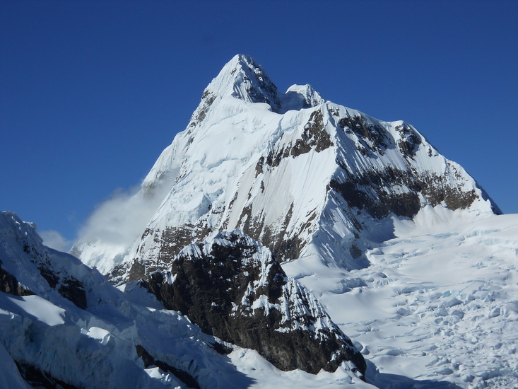
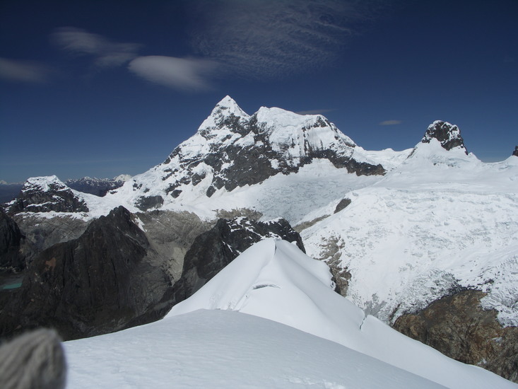
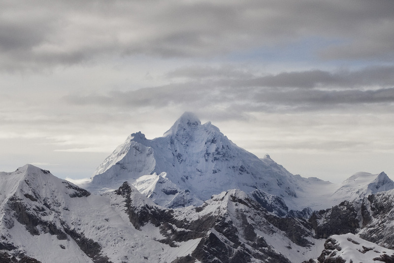
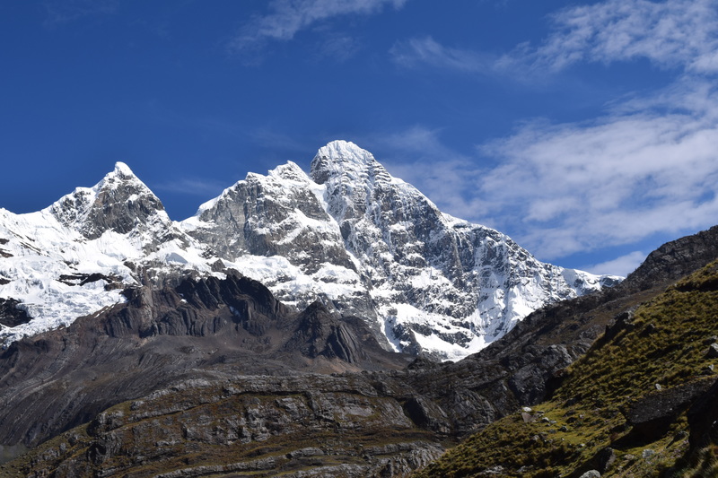
- Elevation: 6395
- Difficulty: Basic Snow and Ice Climb
- Best months to climb: May, June, July, August, September
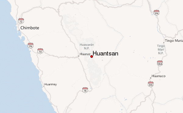
- Convenient center: Huar?z, Peru
Huantsan climbers NotesBe the first to submit your climbers note! Please submit any useful information about climbing Huantsan that may be useful to other climbers. Consider things such as access and accommodation at the base of Huantsan, as well as the logistics of climbing to the summit. |
| Select a
mountain summit from the menu |
||
|
Select a Mountain Summit
|
||
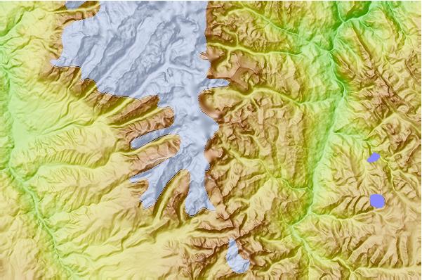
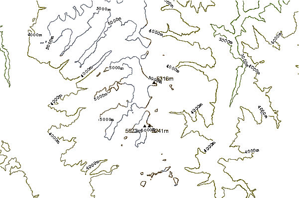
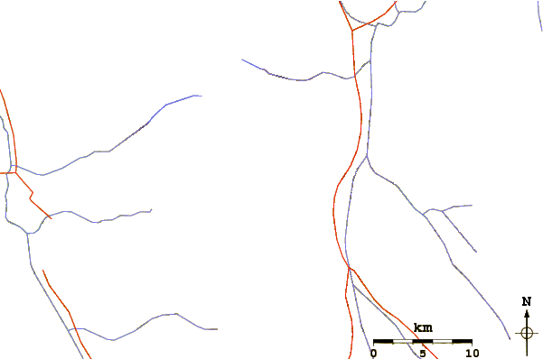
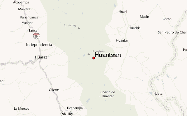
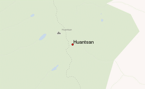
Use this relief map to navigate to mountain peaks in the area of Huantsan.
10 other mountain peaks closest to Huantsan:
| 1. | Ranrapalca (6162 m) | 17.0 km |
| 2. | Chinchey (6309 m) | 17.2 km |
| 3. | Palcaraju (6274 m) | 20.0 km |
| 4. | Vallunaraju (5686 m) | 21.2 km |
| 5. | Perlilla (5587 m) | 25.6 km |
| 6. | Nevado Copa (6188 m) | 38.0 km |
| 7. | Nevado de Tuco (5300 m) | 54.7 km |
| 8. | Chopicalqui (6354 m) | 56.9 km |
| 9. | Huascaran (6768 m) | 58.0 km |
| 10. | Pisco (5752 m) | 69.4 km |