Hintere Schöntaufspitze Guide
- Elevation: 3325
- Difficulty: -
- Best months to climb: -
- Convenient center: -
Hintere Schöntaufspitze climbers Notes
Mariusz R. Slawomirski from POLAND writes:
Difficulty: scramble, midrange, for ordinary mountain tourists, mountaineering equipment not necessary if the snow on the way is absent.
Ascent time: 4 h
Optimal ascent term: August, first part of September, the snow on the way should be absent
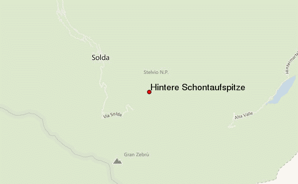
Starting point: Zufallhuette, Martell Tal, Suedtirol
2014-08-13 |
Click here to submit your own climbing note for Hintere Schöntaufspitze
|
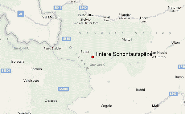
Select Hintere Schöntaufspitze Location Map Detail:
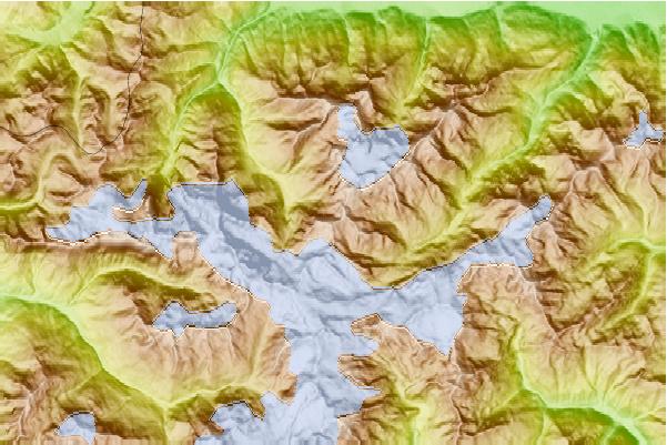
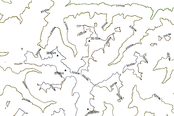
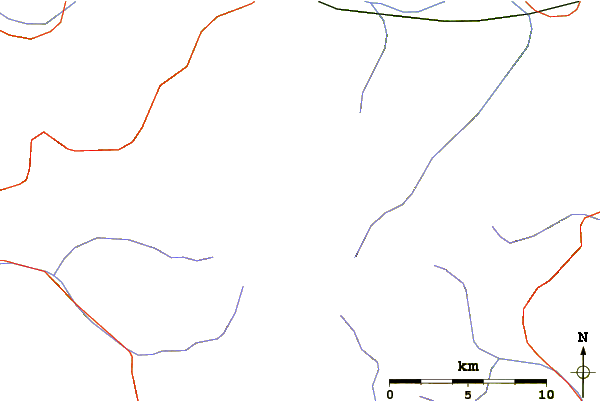
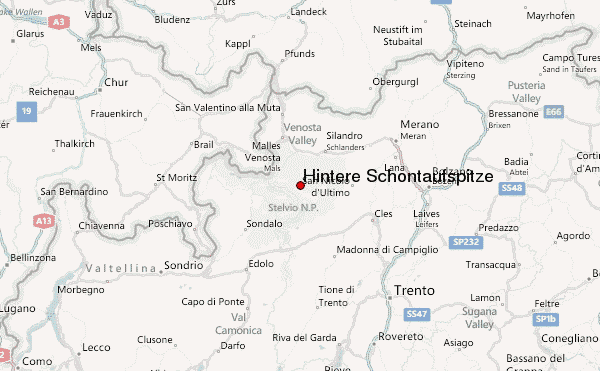
Use this relief map to navigate to mountain peaks in the area of Hintere Schöntaufspitze.
10 other mountain peaks closest to Hintere Schöntaufspitze:
 Hintere Schöntaufspitze (Hintere Schontaufspitze) – Climbing, Hiking & Mountaineering information