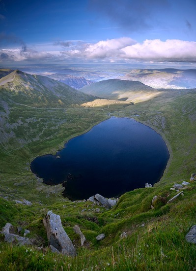
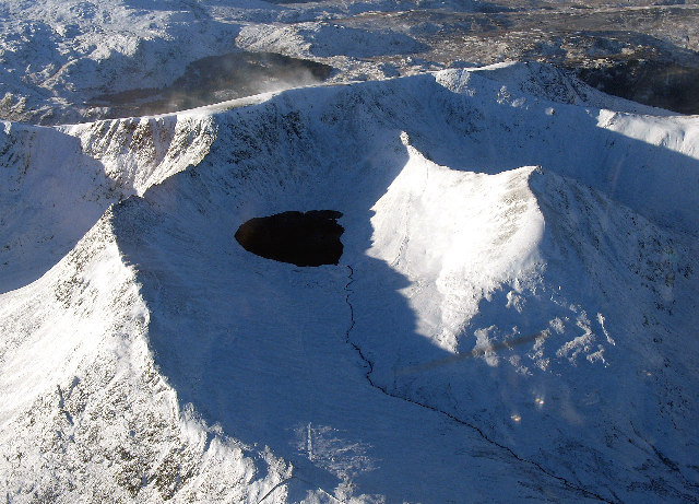
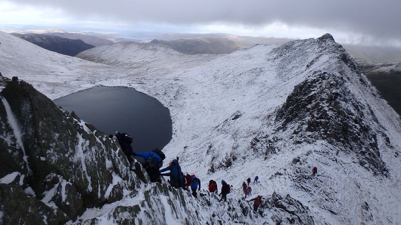
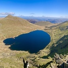
Helvellyn Guide
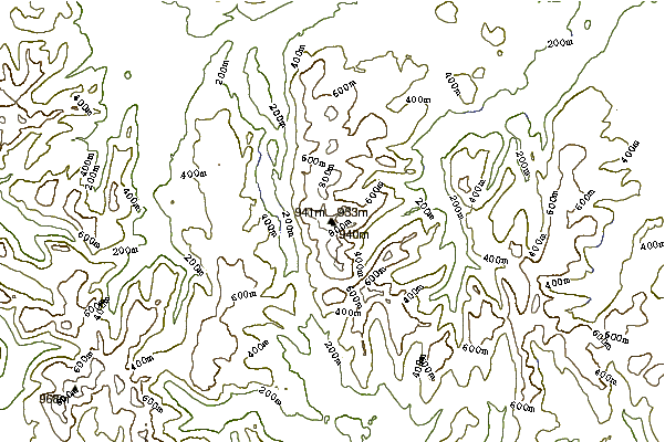
- Elevation: 950
- Difficulty: Walk up
- Best months to climb: April, May, June, July, August, September, October
- Convenient center: Keswick
Helvellyn climbers Notes
Rubén from NORWAY writes:
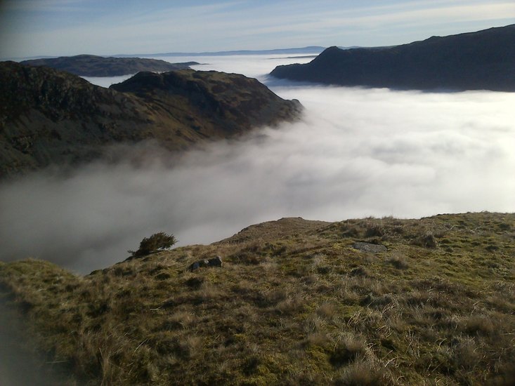
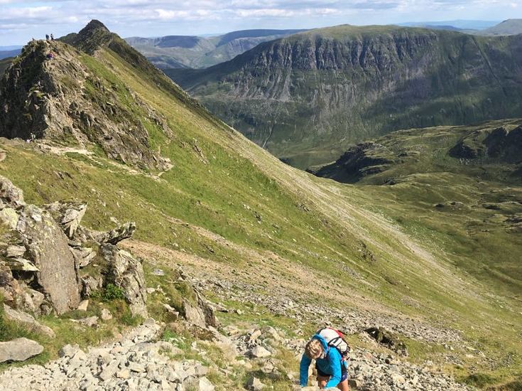
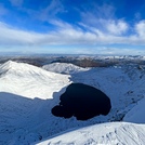
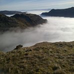
Beautiful mountain, but not to be underestimated. Weather is extreme and unpredictable even in summer in my experience. Just assume it's gonna be windy. Striding edge a real experience and should not be done without confidence. For people that are a bit more scared (I don't blame you), the circular from swirls is a great alternative
2025-10-29 |
Click here to submit your own climbing note for Helvellyn
|
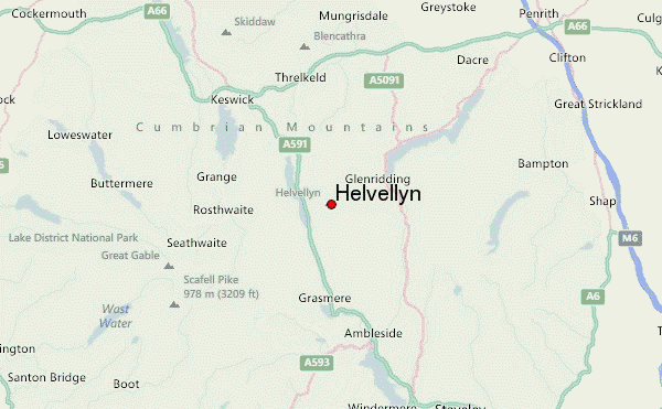
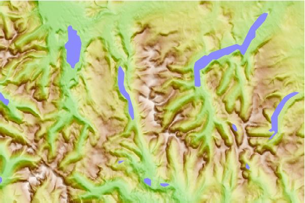
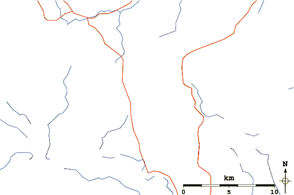
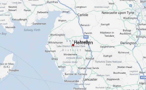
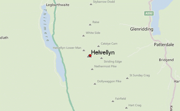
Select Helvellyn Location Map Detail:
Use this relief map to navigate to mountain peaks in the area of Helvellyn.
10 other mountain peaks closest to Helvellyn:
 Helvellyn – Climbing, Hiking & Mountaineering information

Dec2004.jpg)