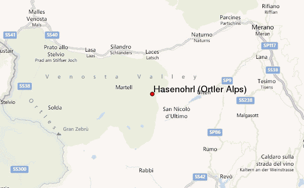
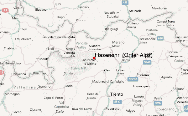
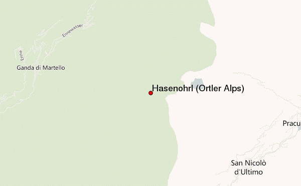
– Lat/Long: 46.54° N 10.86° E
 Hasenöhrl (Ortler Alps) (Hasenohrl (Ortler Alps)) – Climbing, Hiking & Mountaineering information

Hasenöhrl (Ortler Alps) Guide
- Elevation: 3257
- Difficulty: -
- Best months to climb: -
- Convenient center: -
Hasenöhrl (Ortler Alps) climbers NotesBe the first to submit your climbers note! Please submit any useful information about climbing Hasenöhrl (Ortler Alps) that may be useful to other climbers. Consider things such as access and accommodation at the base of Hasenöhrl (Ortler Alps), as well as the logistics of climbing to the summit. |
| Select a
mountain summit from the menu |
||
|
Select a Mountain Summit
|
||
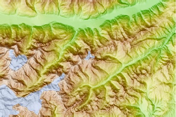
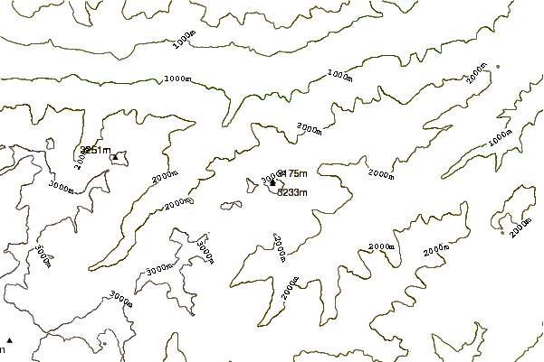
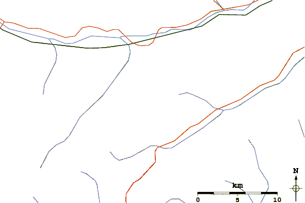
Use this relief map to navigate to mountain peaks in the area of Hasenöhrl (Ortler Alps).
10 other mountain peaks closest to Hasenöhrl (Ortler Alps):
| 1. | Zufrittspitze (3439 m) | 7.5 km |
| 2. | Rifugio Canziani Umberto/hochster Hutte (2561 m) | 8.3 km |
| 3. | Hintere Eggenspitze (3443 m) | 9.6 km |
| 4. | Orgelspitze (3305 m) | 10.5 km |
| 5. | Bivacco Val (1925 m) | 12.4 km |
| 6. | Rifugio Saent/dorigoni Silvio (2436 m) | 12.4 km |
| 7. | Rifugio Nino Corsi (2265 m) | 15.4 km |
| 8. | Bivacco Pozze (1989 m) | 15.5 km |
| 9. | Schildspitze (3461 m) | 16.1 km |
| 10. | Hohe Angelusspitze (3521 m) | 16.2 km |