– Lat/Long: 37.75° N 119.53° W
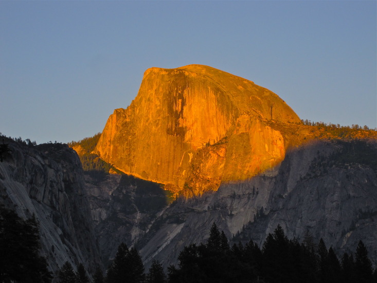
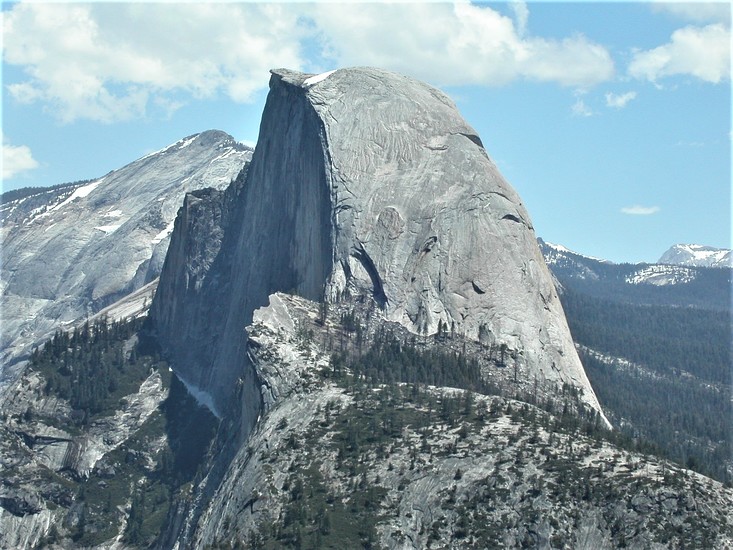
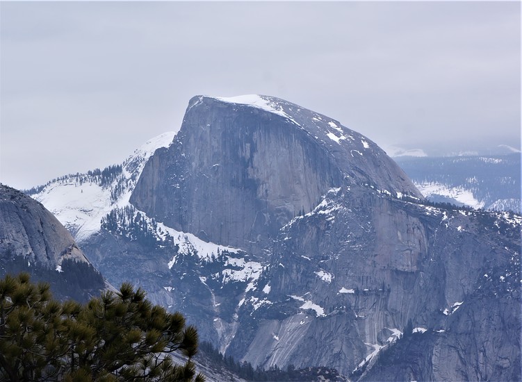
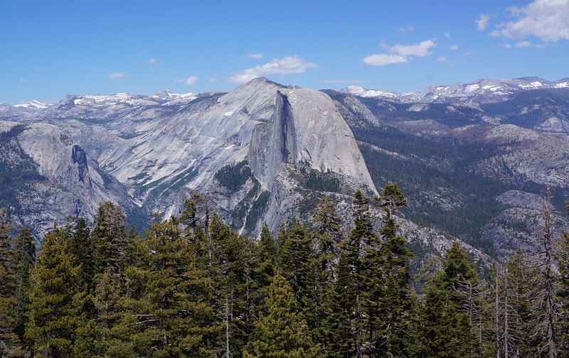
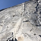
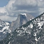
 Half Dome – Climbing, Hiking & Mountaineering information

Half Dome Guide
- Elevation: 2695
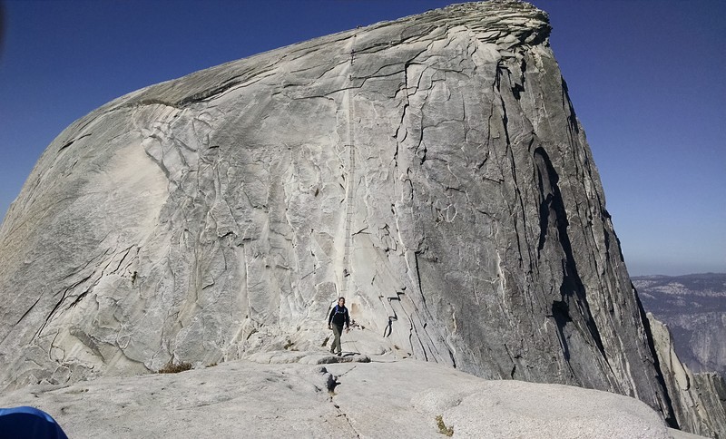
- Difficulty: Scramble
- Best months to climb: June, July, August
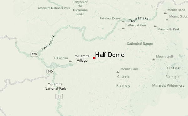
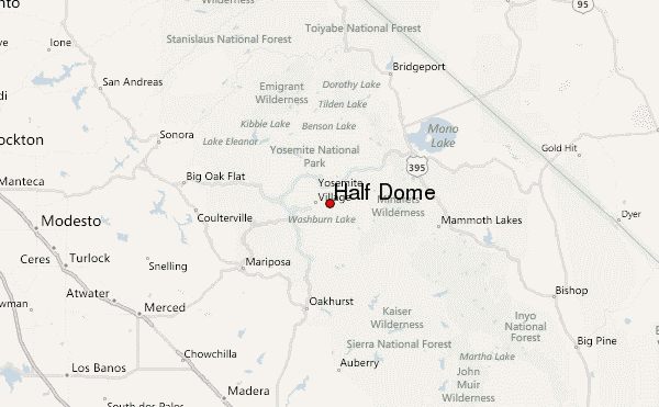
- Convenient center: Yosemite National Park, California
Half Dome climbers NotesBe the first to submit your climbers note! Please submit any useful information about climbing Half Dome that may be useful to other climbers. Consider things such as access and accommodation at the base of Half Dome, as well as the logistics of climbing to the summit. |

| Select a
mountain summit from the menu |
||
|
Select a Mountain Summit
|
||
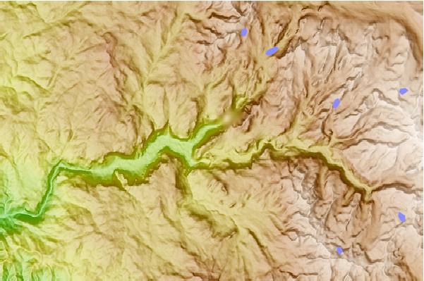
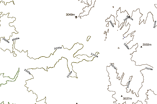
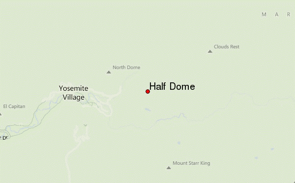
Use this relief map to navigate to mountain peaks in the area of Half Dome.
10 other mountain peaks closest to Half Dome:
| 1. | Liberty Cap (California) (2076 m) | 1.9 km |
| 2. | Grizzly Peak (Yosemite) (1896 m) | 2.5 km |
| 3. | North Dome (2299 m) | 2.7 km |
| 4. | Glacier Point Ski Hut (2171 m) | 4.1 km |
| 5. | Clouds Rest (3025 m) | 4.9 km |
| 6. | Mount Starr King (California) (2771 m) | 5.0 km |
| 7. | Sentinel Dome (2476 m) | 5.2 km |
| 8. | Lost Arrow Spire (2112 m) | 5.5 km |
| 9. | Sentinel Rock (2145 m) | 5.8 km |
| 10. | Eagle Peak (Mariposa County, California) (2372 m) | 7.3 km |