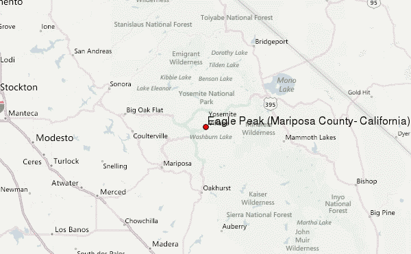
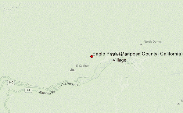
Eagle Peak (Mariposa County, California) Guide
- Elevation: 2372
- Difficulty: -
- Best months to climb: -
- Convenient center: -
Eagle Peak (Mariposa County, California) climbers Notes
naaman abreu from UNITED STATES writes:
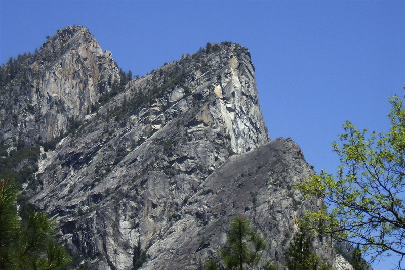
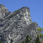
You can access the trail to Eagle Peak at the top of the Upper Yosemite Falls Trail, towards El Capitan. Its a mostly forested trail with a few stream crossings, especially in the spring after snow begins to melt. In Winter expect the area covered in snow. The hardest part of the trail is the first 3-4 miles, which is basically the upper falls trail, the rest of the way up is a moderate climb. Shortly after Eagle Peak Meadow, the trail will break off of the El Capitan trail and head towards the summit, which is basically a large stack of boulders you will climb at the end. Elevation is a little under 8000ft at this point and it is the highest point on the North Rim of Yosemite Valley. You will have amazing views of the entire valley and can actually look down on Yosemite Falls from here, as well as straight across to Sentinel Dome, Glacier Point and Half Dome a little off to the east.
2022-04-16 |
Click here to submit your own climbing note for Eagle Peak (Mariposa County, California)
|
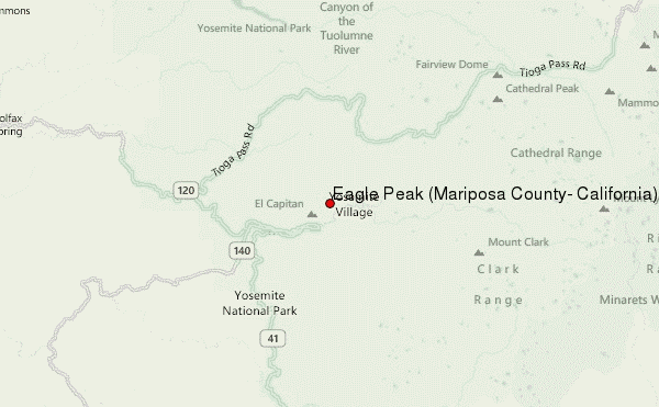
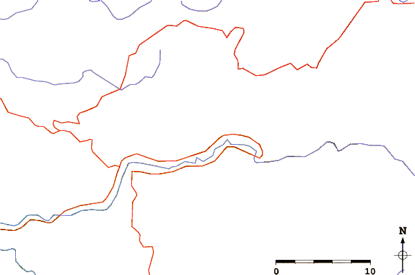
Select Eagle Peak (Mariposa County, California) Location Map Detail:
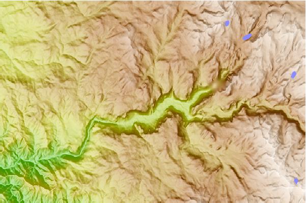
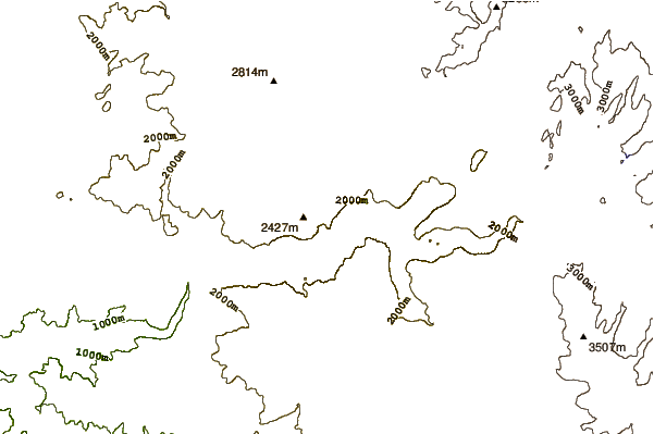
Use this relief map to navigate to mountain peaks in the area of Eagle Peak (Mariposa County, California).
10 other mountain peaks closest to Eagle Peak (Mariposa County, California):
 Eagle Peak (Mariposa County, California) – Climbing, Hiking & Mountaineering information