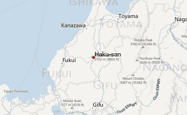
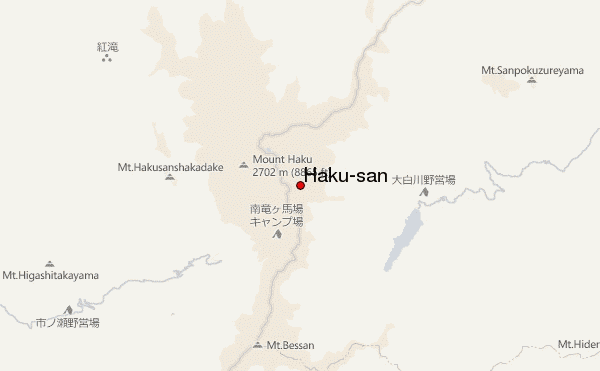
– Lat/Long: 36.15° N 136.78° E
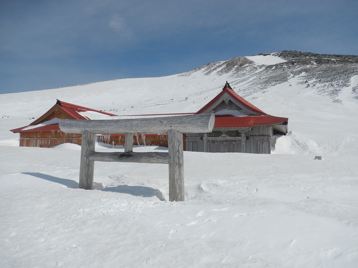
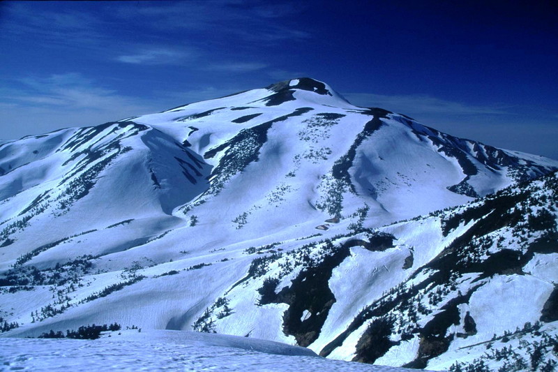
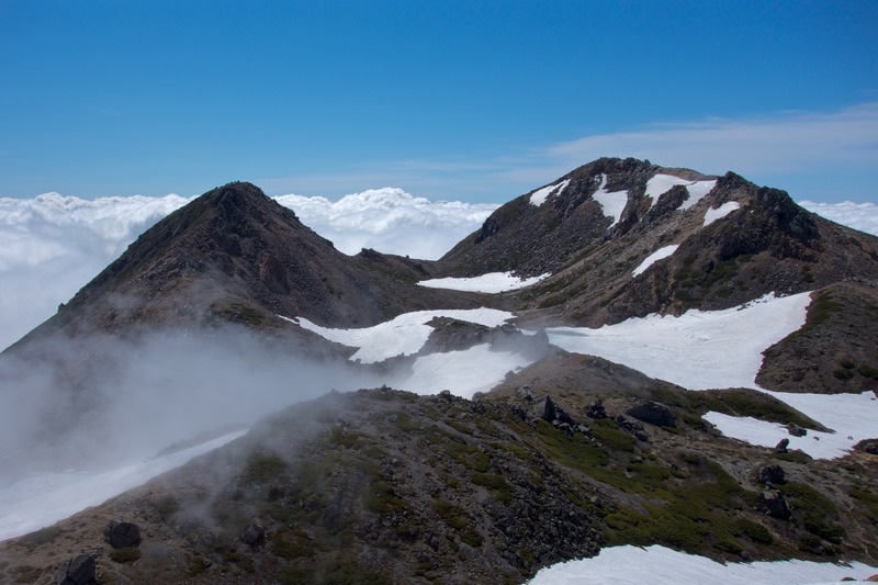
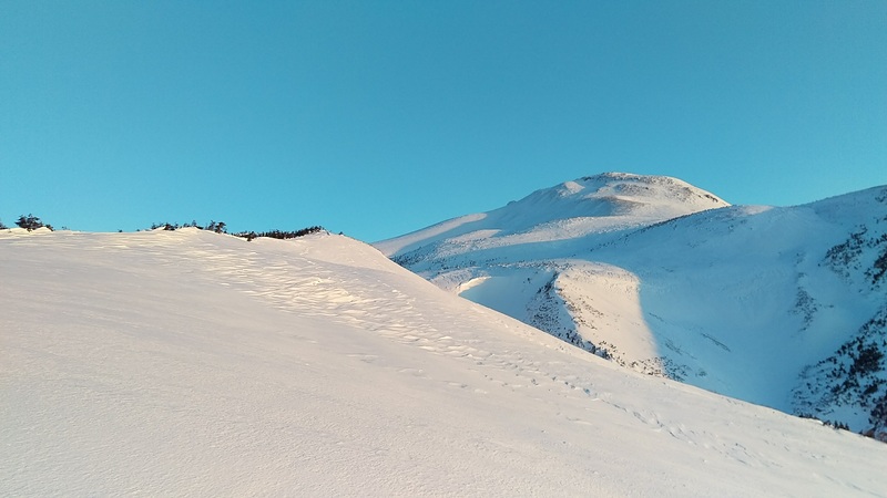
 Haku-san – Climbing, Hiking & Mountaineering information

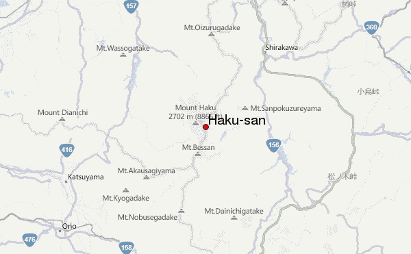
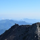
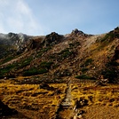
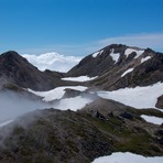
Haku-san Guide
- Elevation: 2702
- Difficulty: -
- Best months to climb: -
- Convenient center: -
Haku-san climbers NotesBe the first to submit your climbers note! Please submit any useful information about climbing Haku-san that may be useful to other climbers. Consider things such as access and accommodation at the base of Haku-san, as well as the logistics of climbing to the summit. |

| Select a
mountain summit from the menu |
||
|
Select a Mountain Summit
|
||
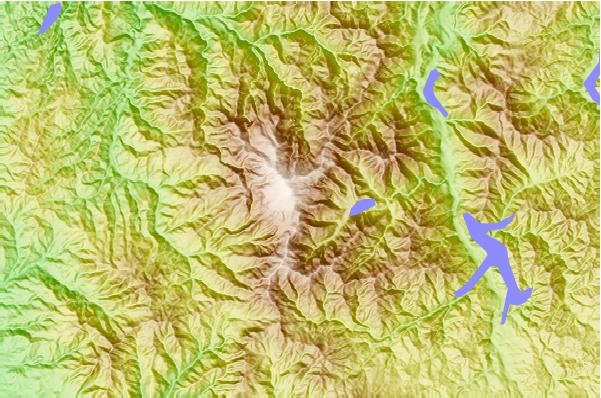
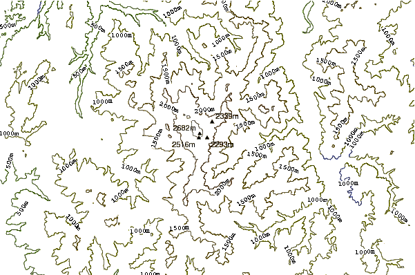
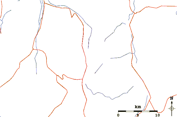
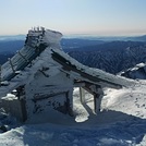
Use this relief map to navigate to mountain peaks in the area of Haku-san.
10 other mountain peaks closest to Haku-san:
| 1. | Mount Bessan (2399 m) | 5.1 km |
| 2. | Mount Sannomine (2128 m) | 7.2 km |
| 3. | Mount Oizuru (1841 m) | 16.6 km |
| 4. | Mount Dainichi (1709 m) | 17.4 km |
| 5. | Fukui Izumi MTB Park (793 m) | 25.0 km |
| 6. | Mount Kurai (1529 m) | 39.5 km |
| 7. | Mount Utatsu (141 m) | 48.0 km |
| 8. | Mount Nōgōhaku (1617 m) | 49.4 km |
| 9. | Mount Kanmuri (Gifu, Fukui) (1257 m) | 53.0 km |
| 10. | 萬岳荘 (1766 m) | 65.3 km |