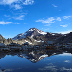
Glacier Peak Guide
- Elevation: 3213
- Difficulty: Basic Snow and Ice Climb
- Best months to climb: May, June, July, August
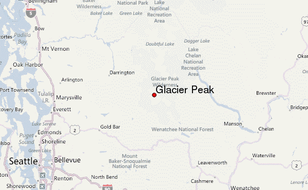
- Convenient center: Darrington, Washington
Glacier Peak climbers Notes
Steve Sullivan from UNITED STATES writes:
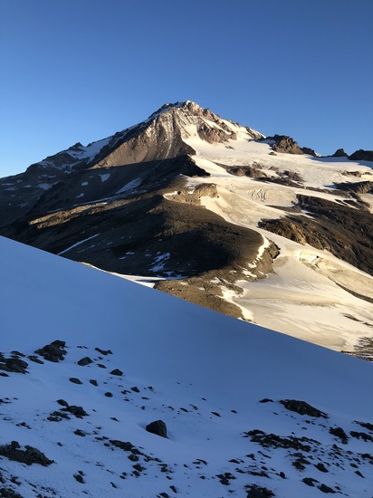
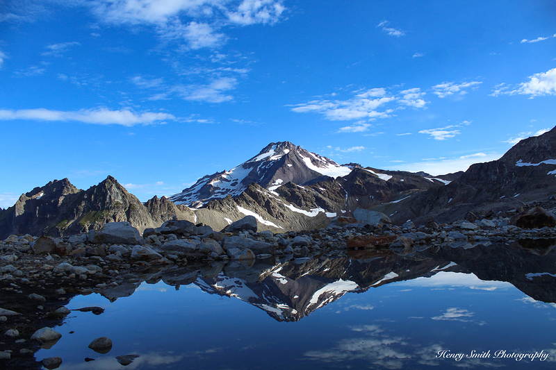
Allow 9-10 hours to reach White Pass from the trailhead if you're carrying a heavy pack. There are several water sources along the PCT. There is a good water source on the PCT about 0.2 miles before arriving at the pass. You can reach high camp from White Pass but the last mile and a half will be slow due boulder scrambling and water crossings and steep, rough ground after crossing.
Reaching high camp will save you 2-3 hours on summit day. Allow 9-12 hours from low camp to the summit. Follow the trail and boot pack from high camp up to the Disappointment Peak ridge line. From here, you'll have to either climb the rock on the ridge or make faster time by roping up with crampons and climbing the Suiattle Glacier.
Traverse to the right in front of Disappointment Peak and watch for rockfall. Veer left to Cool Glacier being very cautious of the crevasses and possible hard ice as we experienced. After gaining the Cool Glacier snowfield, follow the boot pack to the moraine ridge line above. Leave ropes and crampons and all unnecessary gear here and ascend the snow free ridge.
Follow the switchbacks up the face. Cross a small gully where the rock gets larger and ascend the right side of the smaller snow patch to the right of the larger one. About halfway up this patch, cross the narrow section of snow to gain the left side of the snow patch. Some steep rock scrambling from here to the summit.
A notch in the rock opens to snow. Follow the boot pack to the left a short distance to the summit and register. Climbed August 23, 2022
2022-09-04 |
Click here to submit your own climbing note for Glacier Peak
|
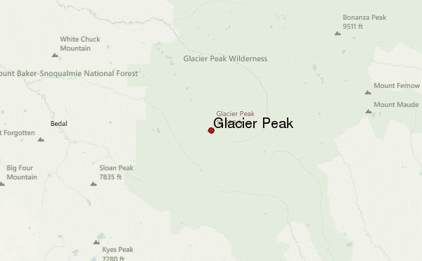
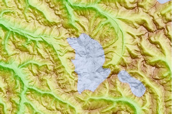
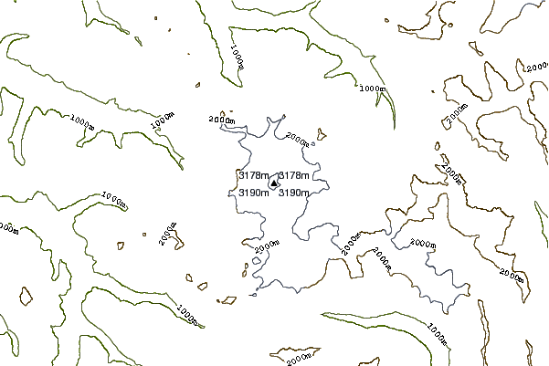
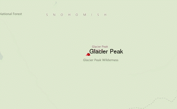
Select Glacier Peak Location Map Detail:
Use this relief map to navigate to mountain peaks in the area of Glacier Peak.
10 other mountain peaks closest to Glacier Peak:
 Glacier Peak – Climbing, Hiking & Mountaineering information
