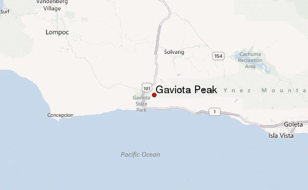
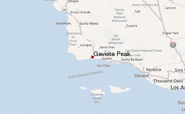
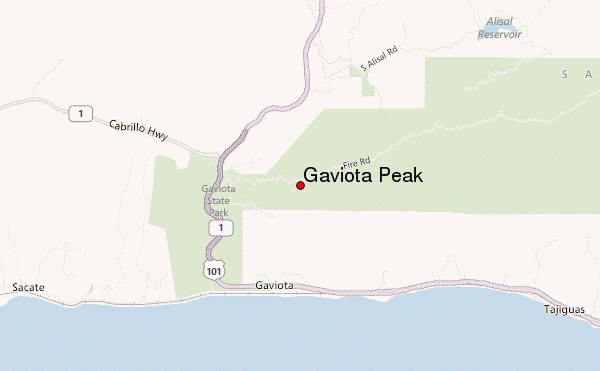
– Lat/Long: 34.50° N 120.20° W
 Gaviota Peak – Climbing, Hiking & Mountaineering information

Gaviota Peak Guide
- Elevation: 750
- Difficulty: -
- Best months to climb: -
- Convenient center: -
Gaviota Peak climbers NotesBe the first to submit your climbers note! Please submit any useful information about climbing Gaviota Peak that may be useful to other climbers. Consider things such as access and accommodation at the base of Gaviota Peak, as well as the logistics of climbing to the summit. |
| Select a
mountain summit from the menu |
||
|
Select a Mountain Summit
|
||
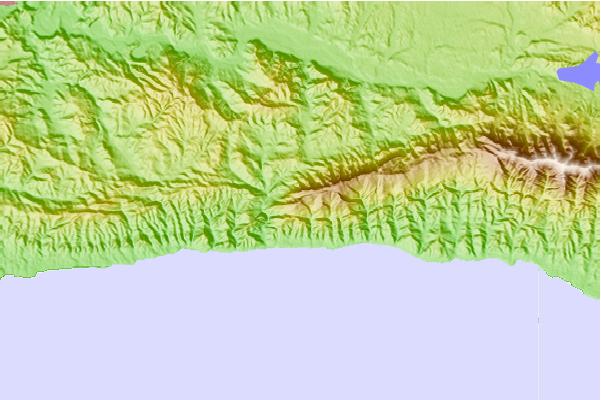
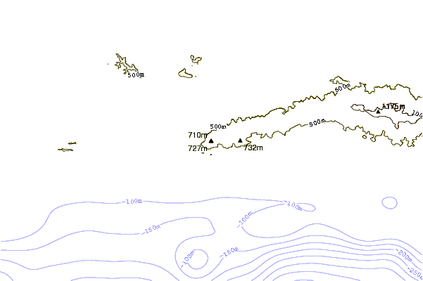
Use this relief map to navigate to mountain peaks in the area of Gaviota Peak.
10 other mountain peaks closest to Gaviota Peak:
| 1. | Figueroa Mountain (1382 m) | 33.2 km |
| 2. | Big Pine Mountain (2073 m) | 54.4 km |
| 3. | Devils Peak (740 m) | 65.0 km |
| 4. | Monte Arido (1832 m) | 67.2 km |
| 5. | Caliente Mountain (1556 m) | 71.7 km |
| 6. | Islay Hill (176 m) | 91.4 km |
| 7. | Cerro San Luis Obispo (394 m) | 97.4 km |
| 8. | Cerro Noroeste (2524 m) | 98.2 km |
| 9. | Brush Mountain (Kern County, California) (2148 m) | 98.7 km |
| 10. | Grouse Mountain (California) (2616 m) | 99.3 km |