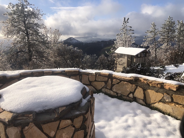
Figueroa Mountain Guide
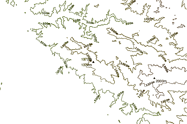
- Elevation: 1382
- Difficulty: -
- Best months to climb: -
- Convenient center: -
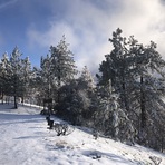
Figueroa Mountain climbers Notes
BRANDON WARWICK from UNITED STATES writes:
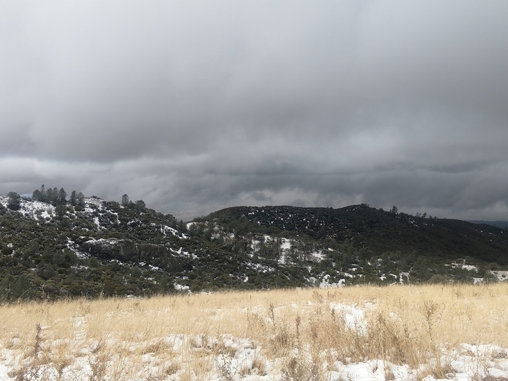
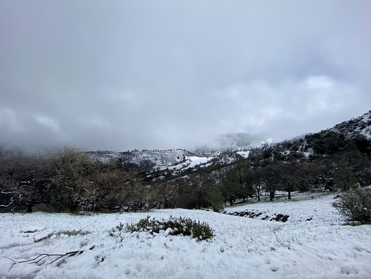
Bring a water purification filter if Hiking the ridge after a rain or in spring; Some of the best drinking water can be found up there but the filter will just help to comfort any fears of giardia or some other water parasite we don't want to be drinking!!! HAPPY NEW YEARS AND HAVE FUN UP THERE!
2013-01-01 |
Click here to submit your own climbing note for Figueroa Mountain
|
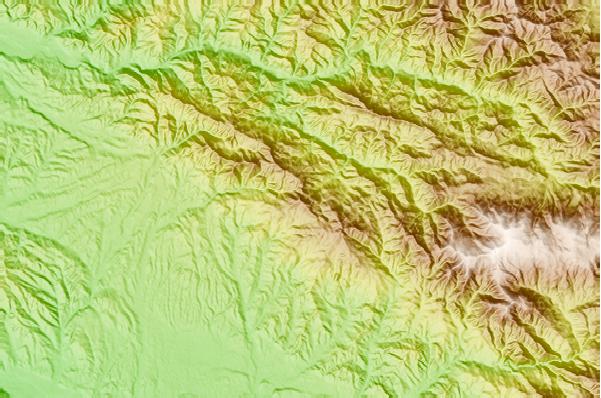
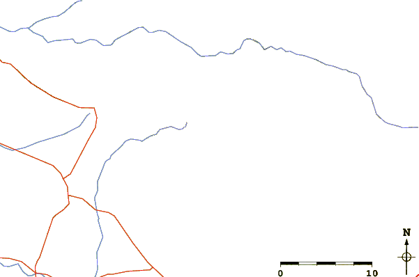
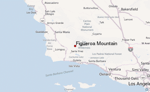
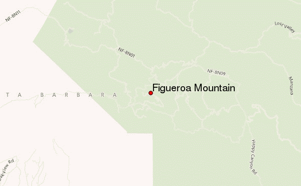
Select Figueroa Mountain Location Map Detail:
Use this relief map to navigate to mountain peaks in the area of Figueroa Mountain.
10 other mountain peaks closest to Figueroa Mountain:
 Figueroa Mountain – Climbing, Hiking & Mountaineering information


