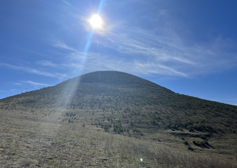
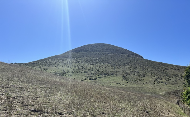
Islay Hill Guide
- Elevation: 176
- Difficulty: -
- Best months to climb: -
- Convenient center: -
Islay Hill climbers Notes
Gene Courter from UNITED STATES writes:
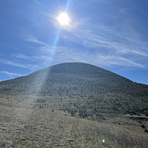
Majestic Mount Islay, Is a 3 day slog up mostly a glacier ice field. Pay close attention to the calving glaciers that surround you on ones accent of this monster majestic Peak. Don't be alarmed by the loud booms of calving glaciers its a normal daily event. Ice axe and crampons are a staple for a successful summit attempt and your best down gear it's cold! One your way to the summit, make sure to visit Lake Islay, a beautiful glacial fed lake with spectacular blue water. Good luck you'll need it!
2023-01-21 |
Click here to submit your own climbing note for Islay Hill
|
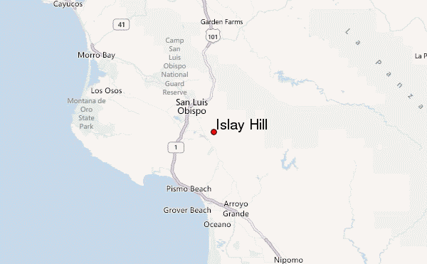
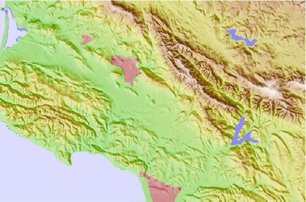
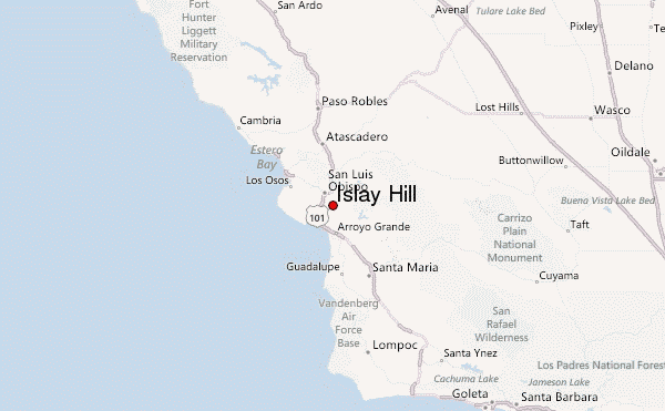
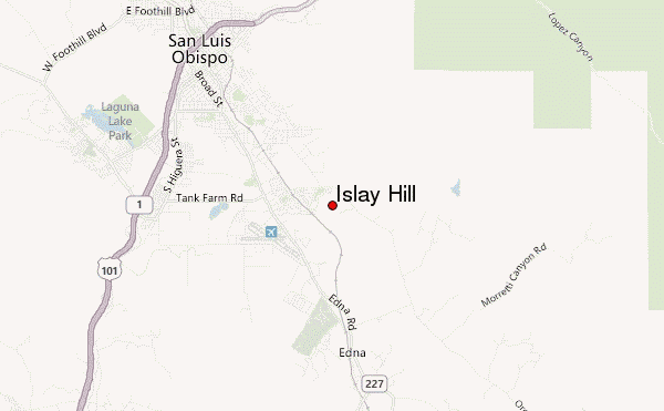
Select Islay Hill Location Map Detail:
Use this relief map to navigate to mountain peaks in the area of Islay Hill.
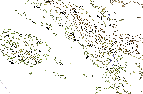
10 other mountain peaks closest to Islay Hill:
 Islay Hill – Climbing, Hiking & Mountaineering information

