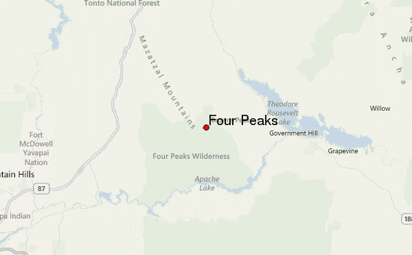
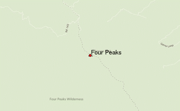
– Lat/Long: 33.68° N 111.32° W
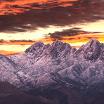
 Four Peaks – Climbing, Hiking & Mountaineering information

Four Peaks Guide
- Elevation: 2334
- Difficulty: Scramble
- Best months to climb: February, April, May, June, July, August, September, October, November
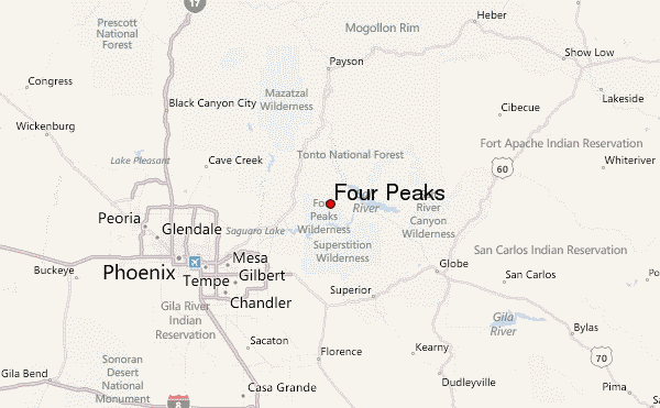
- Convenient center: Fountain Hills/Mesa/Scottsdale
Four Peaks climbers NotesBe the first to submit your climbers note! Please submit any useful information about climbing Four Peaks that may be useful to other climbers. Consider things such as access and accommodation at the base of Four Peaks, as well as the logistics of climbing to the summit. |
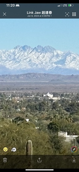
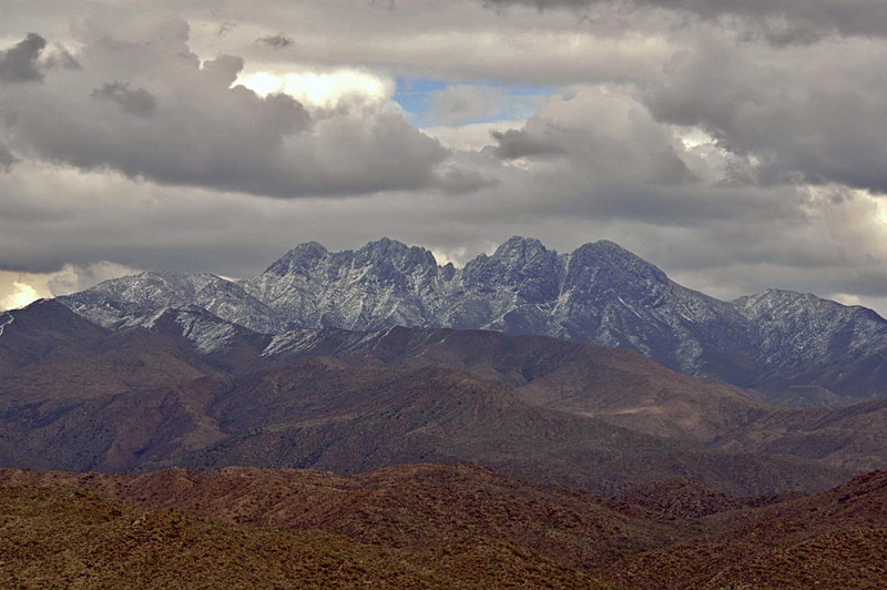
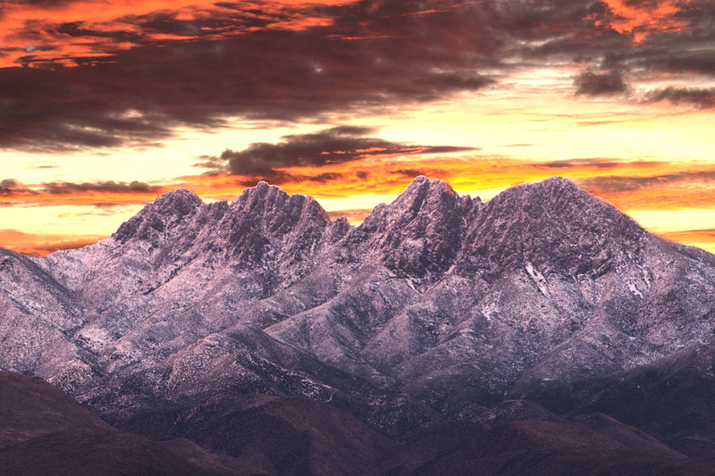
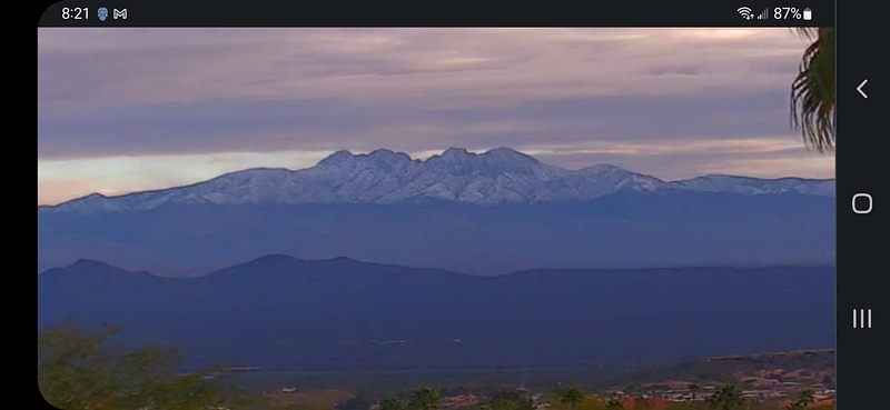
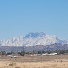
Latest Gallery Images for Four Peaks

| Select a
mountain summit from the menu |
||
|
Select a Mountain Summit
|
||
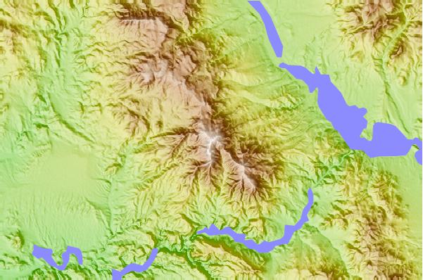
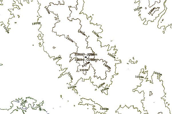
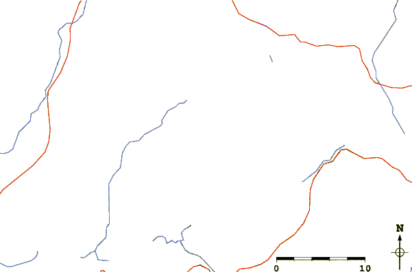
Use this relief map to navigate to mountain peaks in the area of Four Peaks.
10 other mountain peaks closest to Four Peaks:
| 1. | Lime Mountain (Maricopa County, Arizona) (1211 m) | 21.1 km |
| 2. | Weaver's Needle (1388 m) | 28.2 km |
| 3. | Superstition Mountain (1542 m) | 31.2 km |
| 4. | Mount McDowell (860 m) | 37.5 km |
| 5. | Picketpost Mountain (1333 m) | 50.0 km |
| 6. | Mummy Mountain (Arizona) (616 m) | 61.0 km |
| 7. | Camelback Mountain (825 m) | 62.0 km |
| 8. | Tempe Butte (1496 m) | 63.4 km |
| 9. | Piestewa Peak (795 m) | 66.3 km |
| 10. | San Carlos volcanic field (1000 m) | 110.9 km |