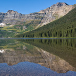
Forum Peak Guide
- Elevation: 2415
- Difficulty: Scramble
- Best months to climb: June, July, August, September, October
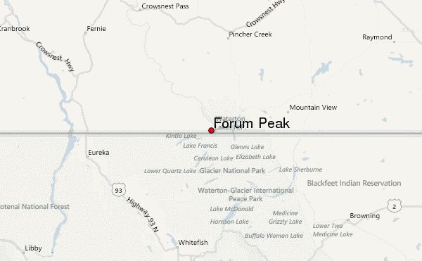
- Convenient center: Waterton Townsite
Forum Peak climbers Notes
Brian from CANADA writes:
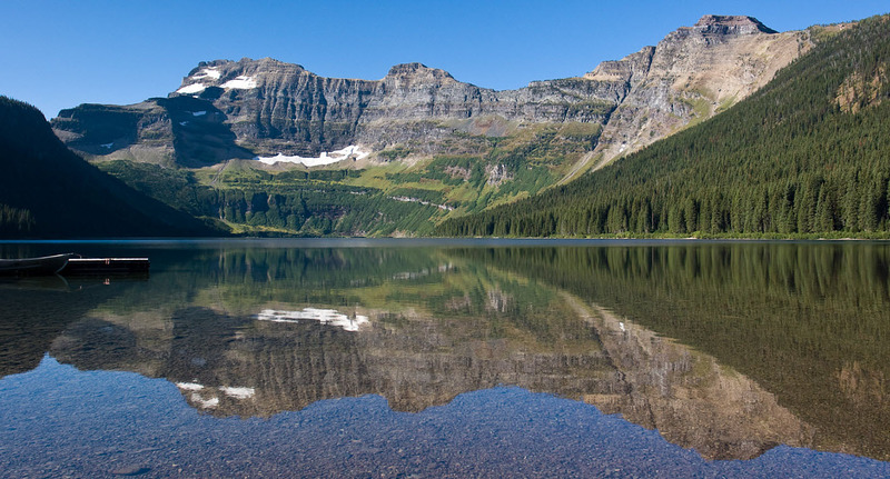
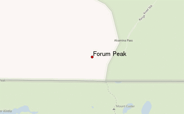
Forum Peak is a the east end of Akamina Ridge . It sits on the boundary between British Columbia and Alberta, and very close to the U.S. border. It is an easy scramble the is mostly hiking (1 scramble bit). It can be combined with Akamina Ridge for a 20km loop. Access is a parking area ("Akamina") on the Cameron Lake Road (Akamina Pkwy) in Waterton Lakes National Park. Follow the signs for Forum Lake and then for Akakmina Ridge.
2025-08-13 |
Click here to submit your own climbing note for Forum Peak
|
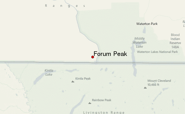
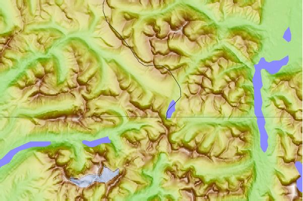
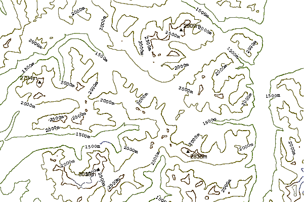
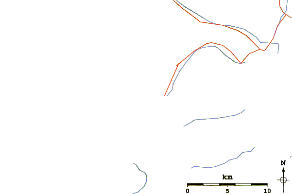
Select Forum Peak Location Map Detail:
Use this relief map to navigate to mountain peaks in the area of Forum Peak.
10 other mountain peaks closest to Forum Peak:
 Forum Peak – Climbing, Hiking & Mountaineering information