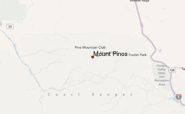
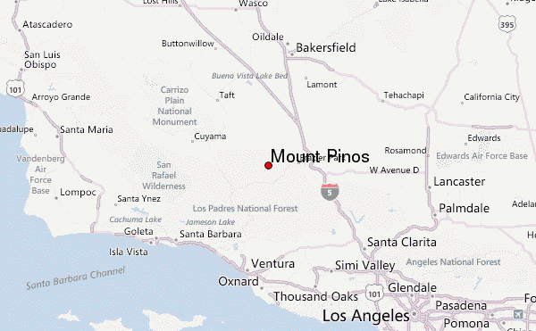
– Lat/Long: 34.81° N 119.14° W
 Mount Pinos – Climbing, Hiking & Mountaineering information

Mount Pinos Guide
- Elevation: 2696
- Difficulty: -
- Best months to climb: -
- Convenient center: -
Mount Pinos climbers NotesBe the first to submit your climbers note! Please submit any useful information about climbing Mount Pinos that may be useful to other climbers. Consider things such as access and accommodation at the base of Mount Pinos, as well as the logistics of climbing to the summit. |
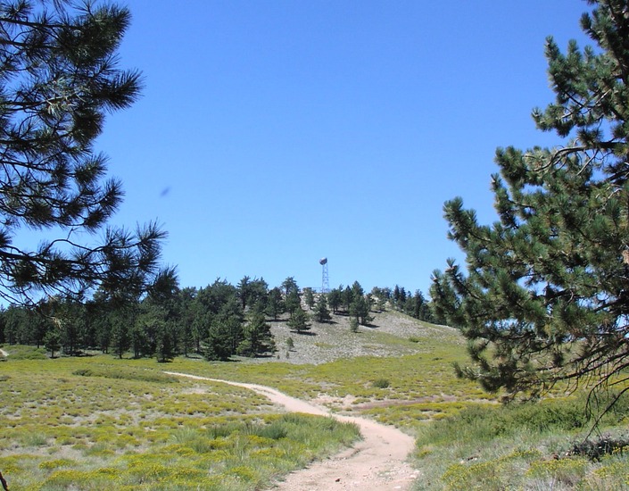
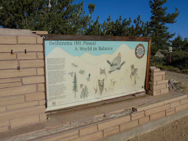
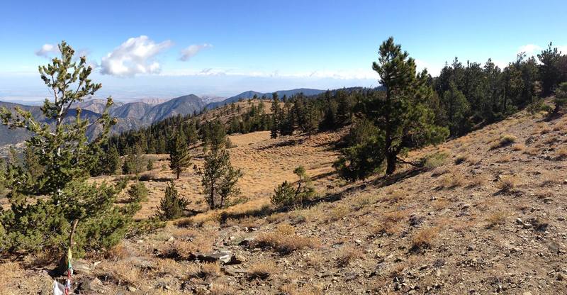
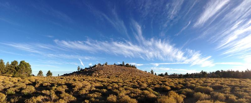
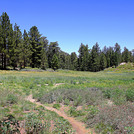
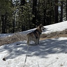
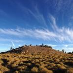
Latest Gallery Images for Mount Pinos


| Select a
mountain summit from the menu |
||
|
Select a Mountain Summit
|
||
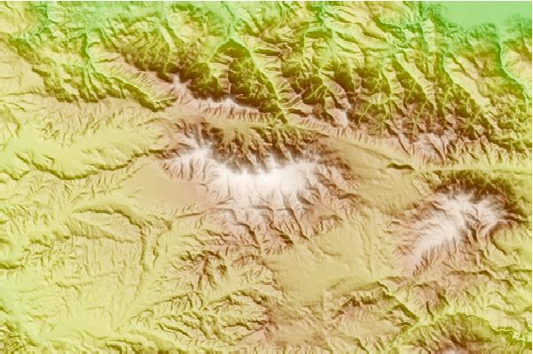
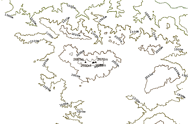
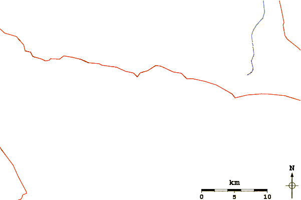
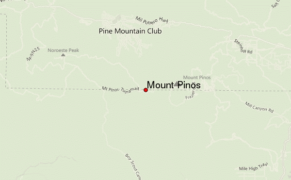
Use this relief map to navigate to mountain peaks in the area of Mount Pinos.
10 other mountain peaks closest to Mount Pinos:
| 1. | Sawmill Mountain (2688 m) | 2.0 km |
| 2. | Grouse Mountain (California) (2616 m) | 3.5 km |
| 3. | Cerro Noroeste (2524 m) | 5.7 km |
| 4. | San Emigdio Mountain (2283 m) | 7.4 km |
| 5. | Antimony Peak (2087 m) | 7.7 km |
| 6. | Eagle Rest Peak (1830 m) | 10.5 km |
| 7. | Brush Mountain (Kern County, California) (2148 m) | 10.8 km |
| 8. | Tecuya Mountain (2182 m) | 15.3 km |
| 9. | Frazier Mountain (2443 m) | 16.6 km |
| 10. | Cobblestone Mountain (California) (2042 m) | 34.0 km |