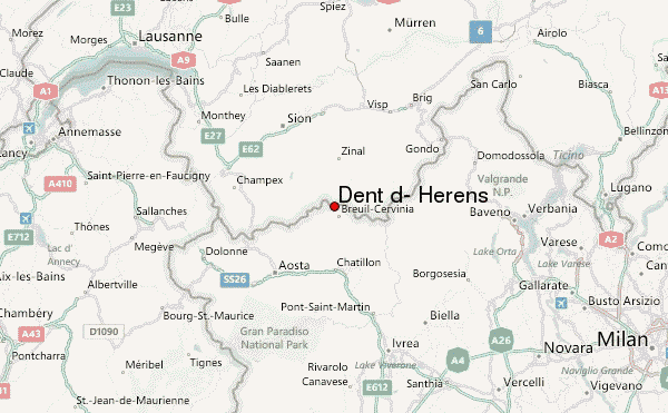
– Lat/Long: 45.97° N 7.61° E
 Dent d' Hérens (Dent d- Herens) – Climbing, Hiking & Mountaineering information

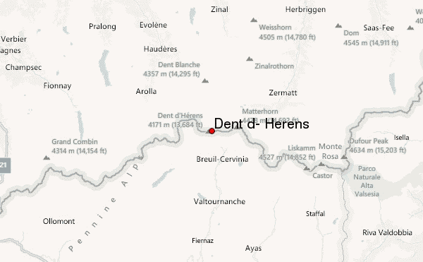
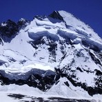
Dent d' Hérens Guide
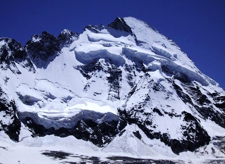
- Elevation: 4171
- Difficulty: Technical Climb
- Best months to climb: July, August, September
- Convenient center: Arola
Dent d' Hérens climbers NotesBe the first to submit your climbers note! Please submit any useful information about climbing Dent d' Hérens that may be useful to other climbers. Consider things such as access and accommodation at the base of Dent d' Hérens, as well as the logistics of climbing to the summit. |
| Select a
mountain summit from the menu |
||
|
Select a Mountain Summit
|
||
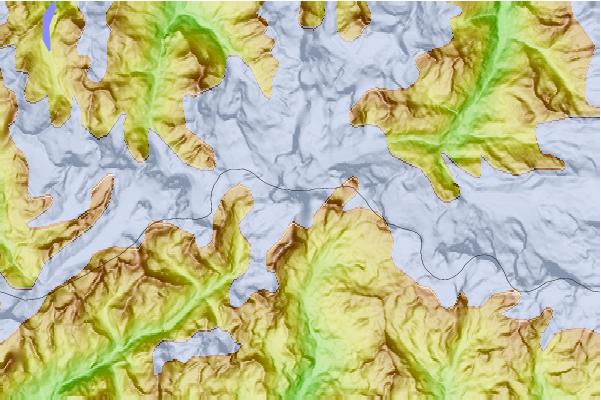
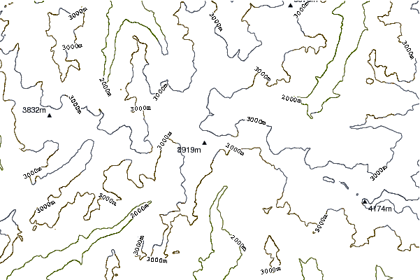
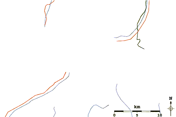
Use this relief map to navigate to mountain peaks in the area of Dent d' Hérens.
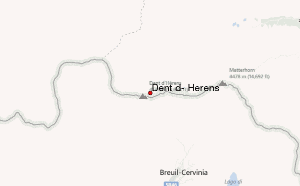
10 other mountain peaks closest to Dent d' Hérens:
| 1. | Bivacco Perelli (3848 m) | 0.8 km |
| 2. | Bivacco Novella (3695 m) | 1.0 km |
| 3. | Bivacco Camillotto Pellissier (3325 m) | 1.7 km |
| 4. | Bivacco Enzo e Nino Benedetti (3497 m) | 1.9 km |
| 5. | Tête de Valpelline (3798 m) | 2.1 km |
| 6. | Lonza Biwak (2973 m) | 2.6 km |
| 7. | Bivacco Achille Ratti (3724 m) | 2.6 km |
| 8. | Bivacco Umberto Balestrieri (3142 m) | 2.7 km |
| 9. | Rifugio Carrel (3829 m) | 3.1 km |
| 10. | Tete Blanche (3429 m) | 3.1 km |