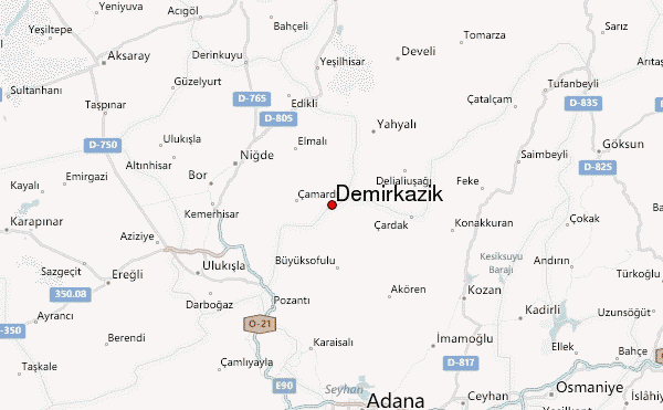
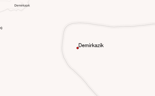
– Lat/Long: 37.82° N 35.17° E
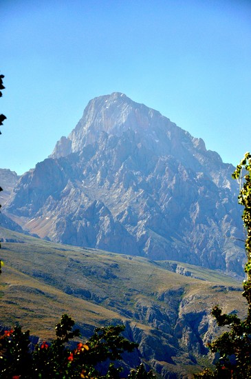
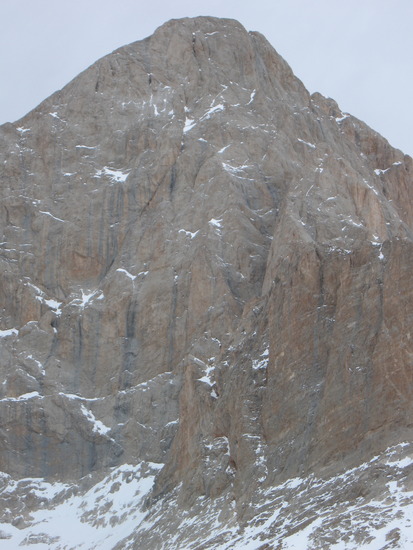
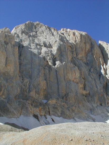
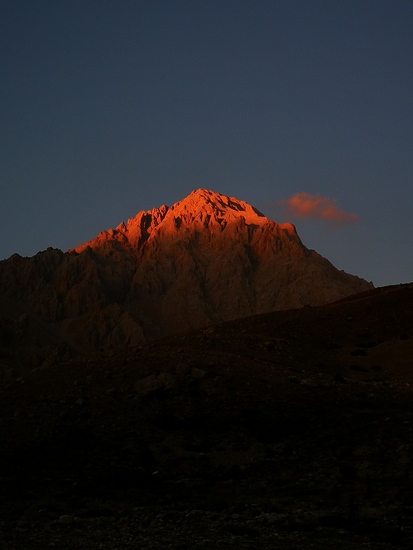
 Demirkazik – Climbing, Hiking & Mountaineering information

Demirkazik Guide
- Elevation: 3756
- Difficulty: Technical Climb
- Best months to climb: July, August, September
- Convenient center: Adana
Demirkazik climbers NotesBe the first to submit your climbers note! Please submit any useful information about climbing Demirkazik that may be useful to other climbers. Consider things such as access and accommodation at the base of Demirkazik, as well as the logistics of climbing to the summit. |
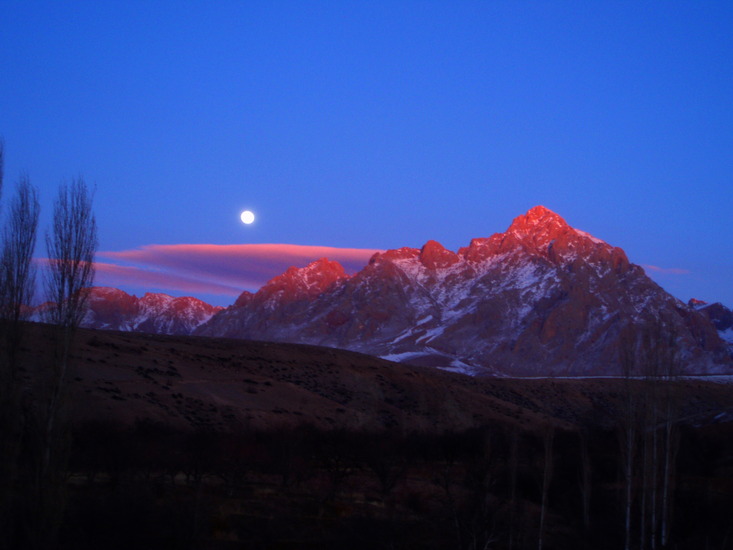
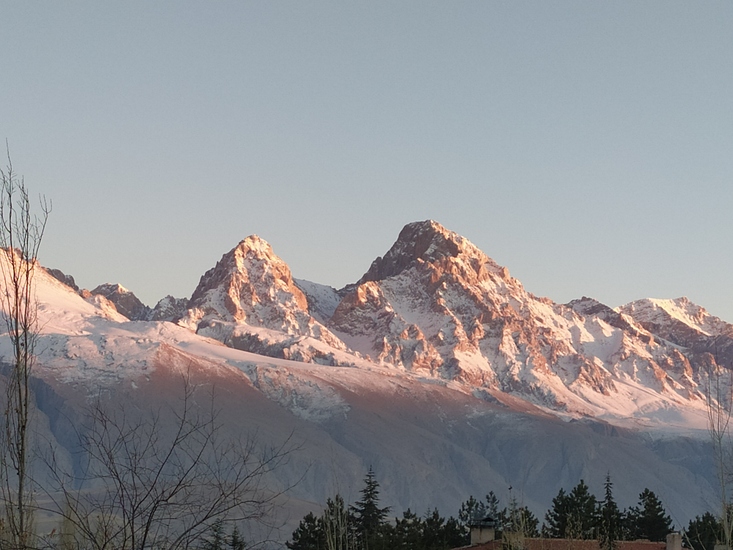
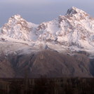
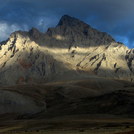
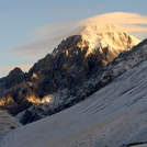
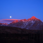
Latest Gallery Images for Demirkazik

| Select a
mountain summit from the menu |
||
|
Select a Mountain Summit
|
||
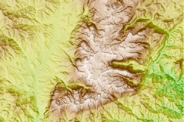
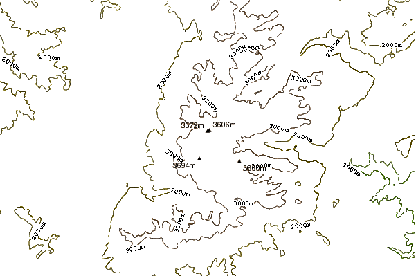
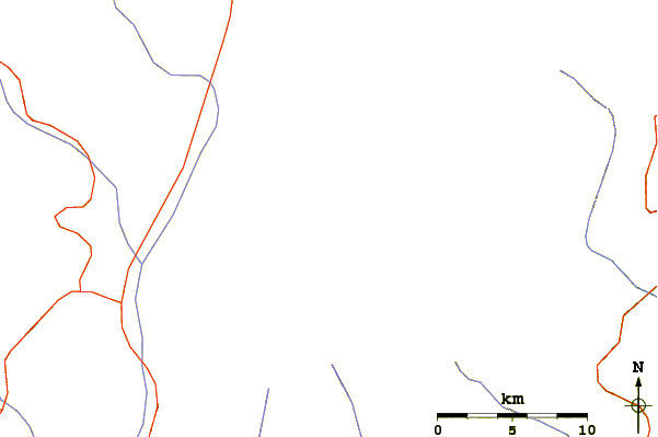
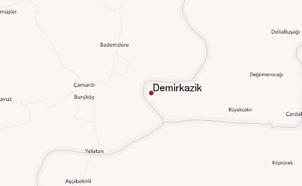
Use this relief map to navigate to mountain peaks in the area of Demirkazik.
10 other mountain peaks closest to Demirkazik:
| 1. | Medetsiz (3524 m) | 66.7 km |
| 2. | Gollu Dag or Göllü Dağ (2143 m) | 71.1 km |
| 3. | Mount Erciyes (3917 m) | 82.9 km |
| 4. | Erciyes Dagi (3917 m) | 83.5 km |
| 5. | Erciyes Bike Park (3318 m) | 86.0 km |
| 6. | Hasandag or Hasan Dagi (3268 m) | 94.1 km |
| 7. | Mount Hasan (3253 m) | 94.1 km |
| 8. | Acıgöl-Nevşehir (1689 m) | 101.1 km |
| 9. | Karapınar Field (1302 m) | 134.5 km |
| 10. | Gelincikana (2612 m) | 185.8 km |