– Lat/Long: 46.18° N 11.61° E
 Cima d'Asta (Cima d-Asta) – Climbing, Hiking & Mountaineering information

Cima d'Asta Guide
- Elevation: 2847
- Difficulty: Scramble
- Best months to climb: June, July, August, September
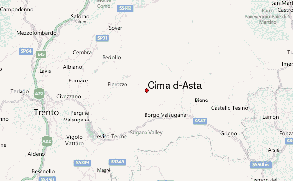
- Convenient center: Trento
Cima d'Asta climbers Notes
|
| Select a
mountain summit from the menu |
||
|
Select a Mountain Summit
|
||
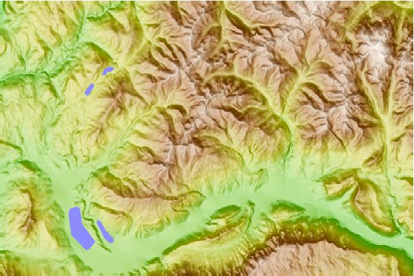
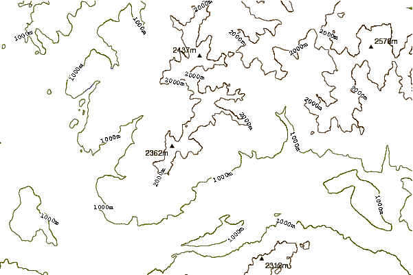
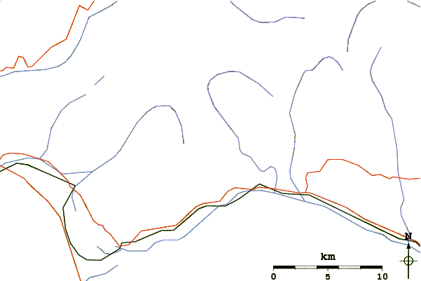
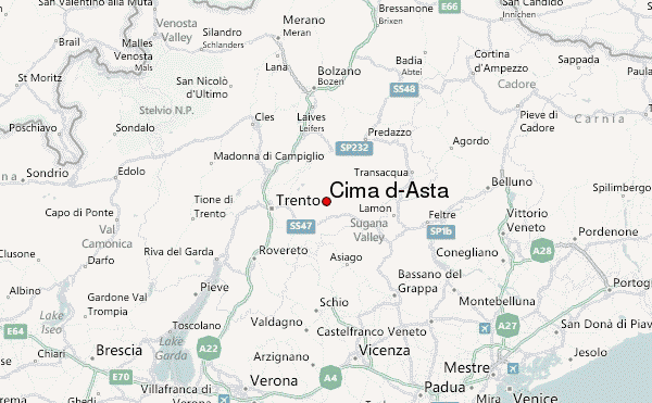
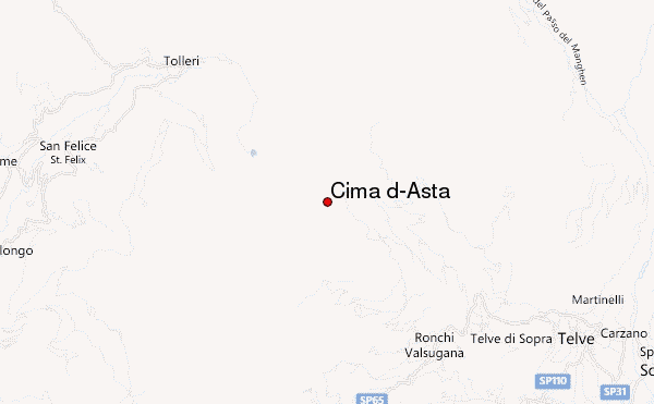
Use this relief map to navigate to mountain peaks in the area of Cima d'Asta.
10 other mountain peaks closest to Cima d'Asta:
| 1. | Bivacco Cavinato (2840 m) | 0.0 km |
| 2. | Rifugio Cima D'asta/brentari Ottone (2473 m) | 0.7 km |
| 3. | Bivacco Moro Aldo (2565 m) | 13.4 km |
| 4. | San Martino Bike Arena (2139 m) | 16.2 km |
| 5. | Rifugio Sette Selle (1978 m) | 17.1 km |
| 6. | Cimon del Latemar (2842 m) | 18.8 km |
| 7. | Velo della Madonna Mountain Hut (2358 m) | 19.3 km |
| 8. | Rifugio Spruggio/tonini Giovanni (1900 m) | 19.4 km |
| 9. | Pradidali Mountain Hut (2278 m) | 20.6 km |
| 10. | Rifugio Rosetta (Giovanni Pedrotti) (2581 m) | 20.7 km |