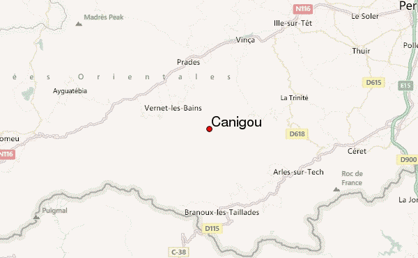
– Lat/Long: 42.52° N 2.46° E
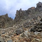
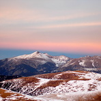
 Canigou – Climbing, Hiking & Mountaineering information

Canigou Guide
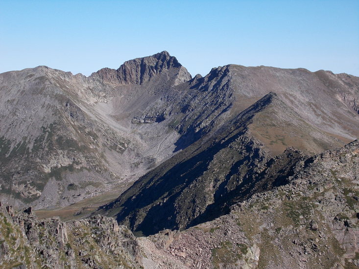
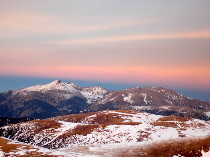
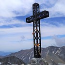
- Elevation: 2782
- Difficulty: Walk up
- Best months to climb: June, July, August, September, October
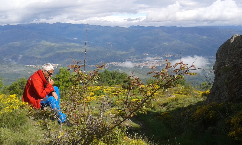
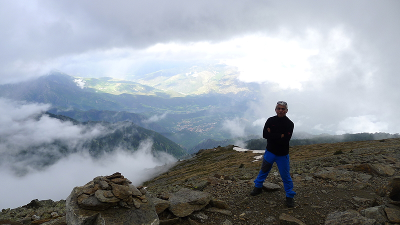
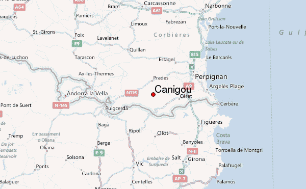
- Convenient center: Prades
Canigou climbers NotesBe the first to submit your climbers note! Please submit any useful information about climbing Canigou that may be useful to other climbers. Consider things such as access and accommodation at the base of Canigou, as well as the logistics of climbing to the summit. |
| Select a
mountain summit from the menu |
||
|
Select a Mountain Summit
|
||
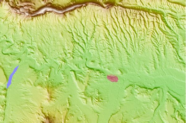
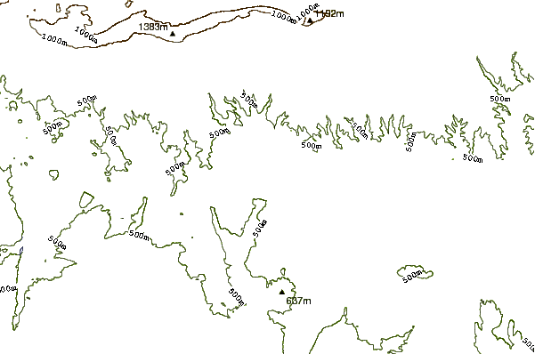
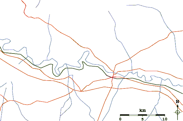
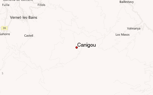
Use this relief map to navigate to mountain peaks in the area of Canigou.
10 other mountain peaks closest to Canigou:
| 1. | Tretzevents (Canigó) (2731 m) | 3.2 km |
| 2. | Roca Colom (2506 m) | 15.4 km |
| 3. | Refugi Costabona (2168 m) | 15.4 km |
| 4. | Refugio de les Saleres de Caderget (1700 m) | 16.6 km |
| 5. | Refugio Jaume Ferrer (1966 m) | 17.0 km |
| 6. | Refugi Ulldeter (lliure) (2236 m) | 19.7 km |
| 7. | Refugi Ulldeter (2236 m) | 19.7 km |
| 8. | Pic Bastiments (2886 m) | 21.0 km |
| 9. | VIVAC DE TIRAPITS (2706 m) | 23.2 km |
| 10. | Refugi Coma de Vaca (1995 m) | 24.6 km |