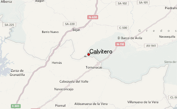
– Lat/Long: 40.30° N 5.72° W
 Calvitero – Climbing, Hiking & Mountaineering information

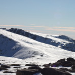
Calvitero Guide
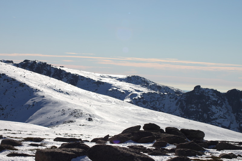
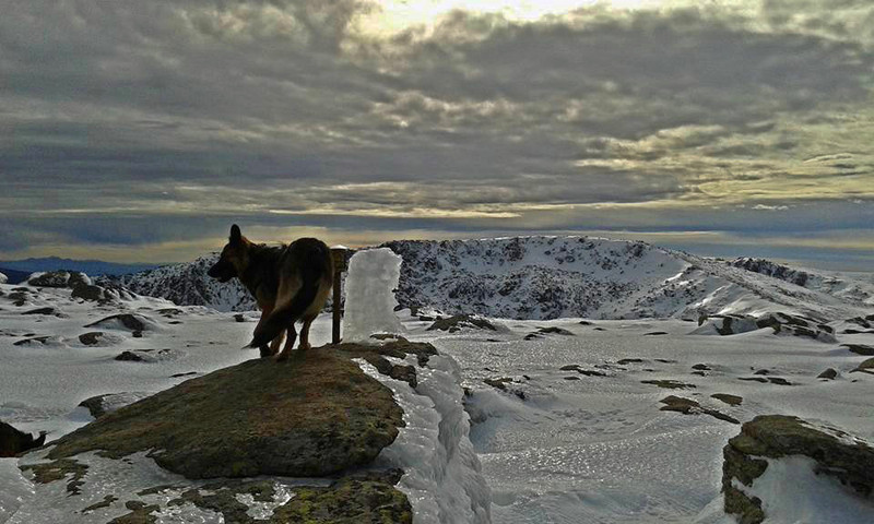
- Elevation: 2405
- Difficulty: Walk up
- Best months to climb: January, February, March, April, November, December
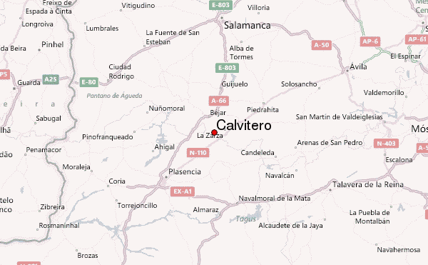
- Convenient center: Bejar
Calvitero climbers NotesBe the first to submit your climbers note! Please submit any useful information about climbing Calvitero that may be useful to other climbers. Consider things such as access and accommodation at the base of Calvitero, as well as the logistics of climbing to the summit. |
| Select a
mountain summit from the menu |
||
|
Select a Mountain Summit
|
||
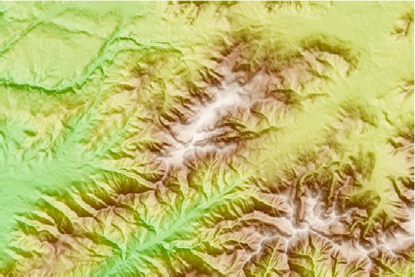
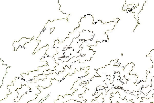
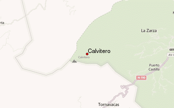
Use this relief map to navigate to mountain peaks in the area of Calvitero.
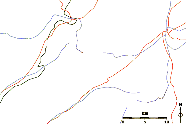
10 other mountain peaks closest to Calvitero:
| 1. | VIVAC HOYA MOROS (2300 m) | 1.9 km |
| 2. | Refugio LAGUNA DEL DUQUE (1600 m) | 3.0 km |
| 3. | Refugio de Hoya Cuevas (1940 m) | 3.8 km |
| 4. | Refugio CHOZO DE ANSELMO (1600 m) | 10.8 km |
| 5. | Refugio PASO PALOMAS (1500 m) | 11.4 km |
| 6. | Refugio GALIN GOMEZ (1800 m) | 12.2 km |
| 7. | Refugio NAVACASERA I (1439 m) | 13.5 km |
| 8. | Refugio NAVACASERA II (1516 m) | 13.6 km |
| 9. | Refugio de las Nieves (1485 m) | 15.4 km |
| 10. | Refugio de La Mina (Ávila) (1700 m) | 16.8 km |