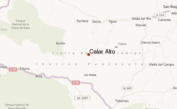
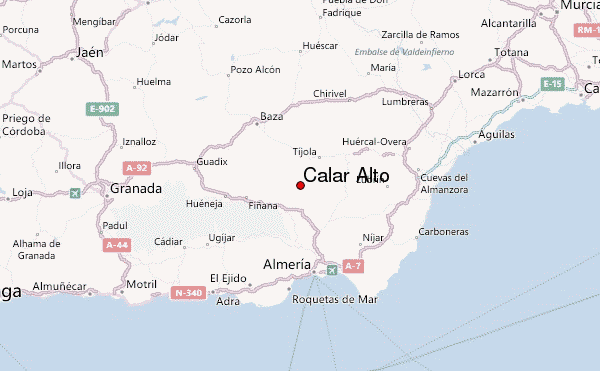
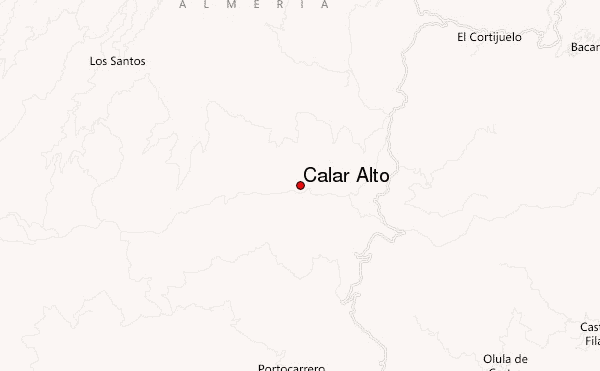
– Lat/Long: 37.22° N 2.55° W
 Calar Alto – Climbing, Hiking & Mountaineering information

Calar Alto Guide
- Elevation: 2168
- Difficulty: -
- Best months to climb: -
- Convenient center: -
Calar Alto climbers NotesBe the first to submit your climbers note! Please submit any useful information about climbing Calar Alto that may be useful to other climbers. Consider things such as access and accommodation at the base of Calar Alto, as well as the logistics of climbing to the summit. |
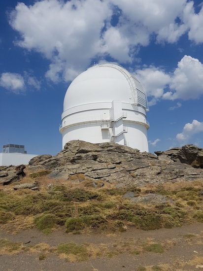
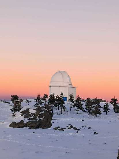
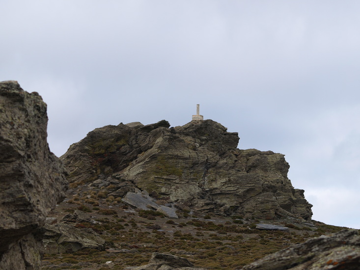
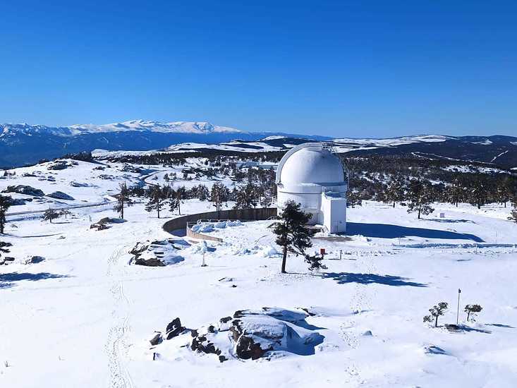
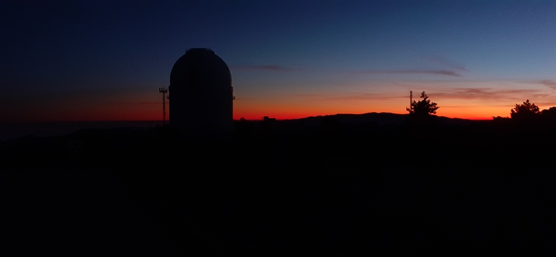
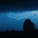
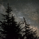
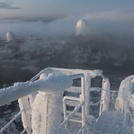
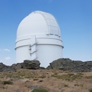
Latest Gallery Images for Calar Alto
| Select a
mountain summit from the menu |
||
|
Select a Mountain Summit
|
||
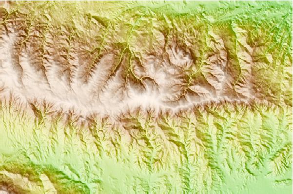
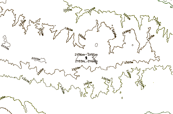
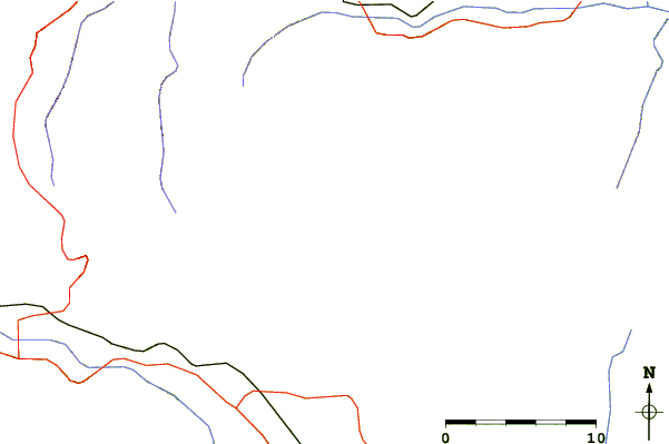
Use this relief map to navigate to mountain peaks in the area of Calar Alto.
10 other mountain peaks closest to Calar Alto:
| 1. | Refugio ARROYO VERRUGA (1790 m) | 3.7 km |
| 2. | Refugio CASETA DEL TORIL (1560 m) | 3.8 km |
| 3. | Refugio de las Hoyas (1990 m) | 5.6 km |
| 4. | Refugio de la Piedra del Sombrerillo (1923 m) | 5.7 km |
| 5. | Refugio ALCOHOLERA LA (1820 m) | 26.7 km |
| 6. | Refugio HOYAS DE AUDAFE (1270 m) | 27.0 km |
| 7. | Refugio Peñon de la Polarda (2180 m) | 27.8 km |
| 8. | Refugio de las Minas de la Cruz (2025 m) | 31.0 km |
| 9. | Calar de Santa Bárbar (2269 m) | 31.7 km |
| 10. | Refugio DEHESA DE LA YEDRA LA (1160 m) | 32.1 km |
