Brock Crags Guide
- Elevation: 562
- Difficulty: -
- Best months to climb: -
- Convenient center: -
Brock Crags climbers Notes
Truefreedomseekers from UNITED KINGDOM writes:
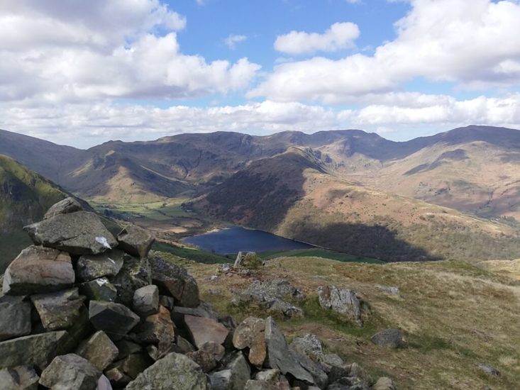
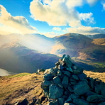
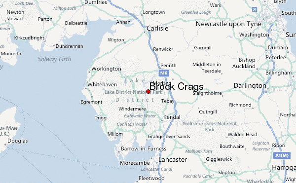
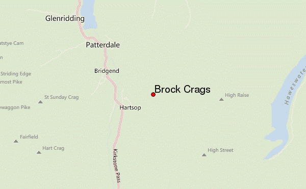
Brock Crags in the Lake District is located near to Brothers Water. This can be found by heading south from Ullswater, or north from Windermere.
There is a small car park near to Brothers Water to park for your walk, or a car park in Hartsop too.
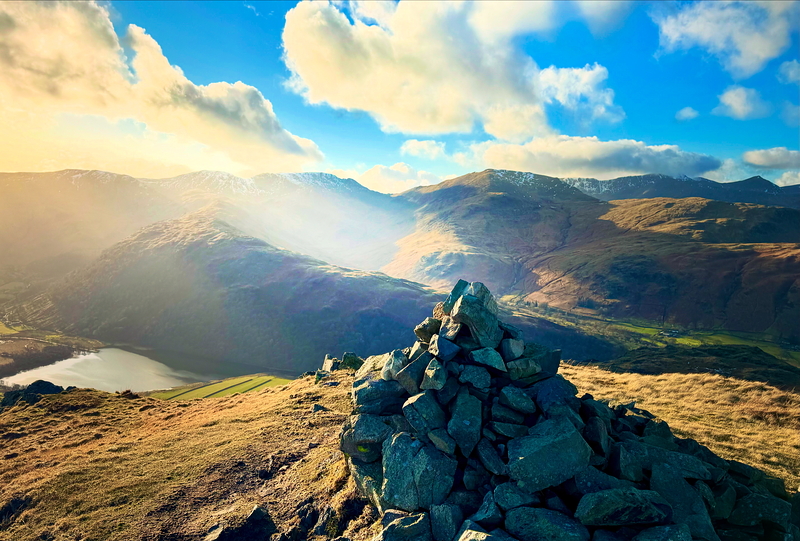
There is a mostly clear walk up to Brock Crags and from the Wainwright you can hop over to Rest Dodd and The Nab to make a round walk. You can also head up to Angletarn Pikes too if you desire, depending on the time in the day that you have.
A really lovely area in the Lake District and worth the visit, and the walk to the top of the Wainwright too.
https://truefreedomseekers.com/brock-crags-rest-dodd-the-nab-walk/
@truefreedomseekers
2022-05-12 |
Click here to submit your own climbing note for Brock Crags
|
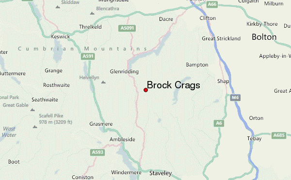
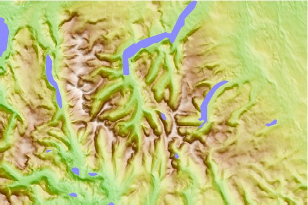
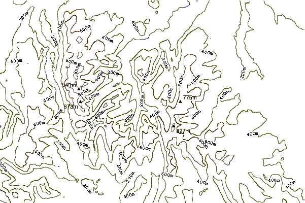
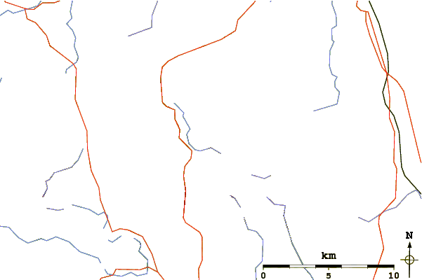
Select Brock Crags Location Map Detail:
Use this relief map to navigate to mountain peaks in the area of Brock Crags.
10 other mountain peaks closest to Brock Crags:
 Brock Crags – Climbing, Hiking & Mountaineering information