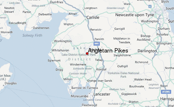
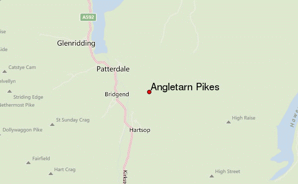
– Lat/Long: 54.52° N 2.91° W
 Angletarn Pikes – Climbing, Hiking & Mountaineering information

Angletarn Pikes Guide
- Elevation: 567
- Difficulty: -
- Best months to climb: -
- Convenient center: -
Angletarn Pikes climbers NotesBe the first to submit your climbers note! Please submit any useful information about climbing Angletarn Pikes that may be useful to other climbers. Consider things such as access and accommodation at the base of Angletarn Pikes, as well as the logistics of climbing to the summit. |
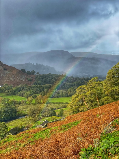
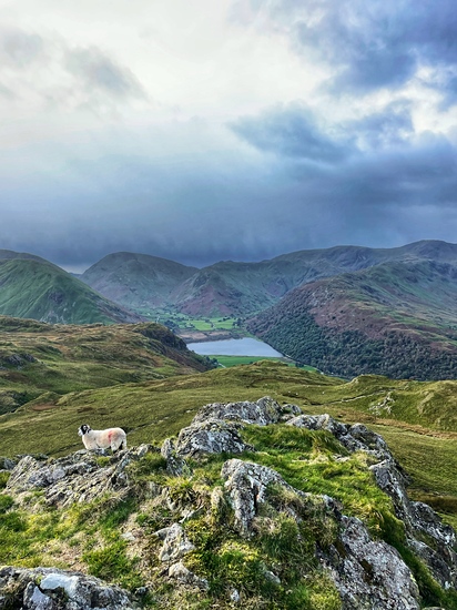
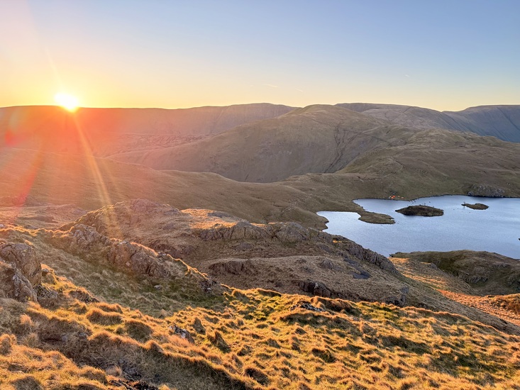
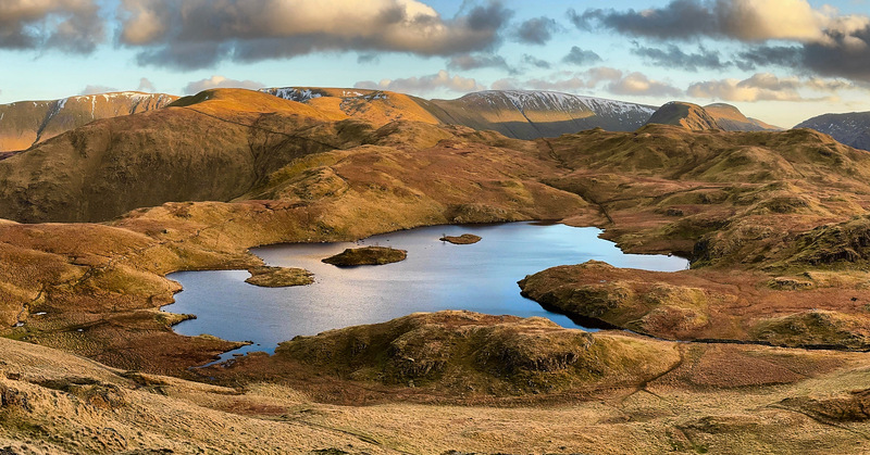
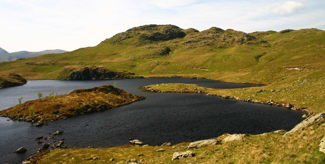
Latest Gallery Images for Angletarn Pikes

| Select a
mountain summit from the menu |
||
|
Select a Mountain Summit
|
||
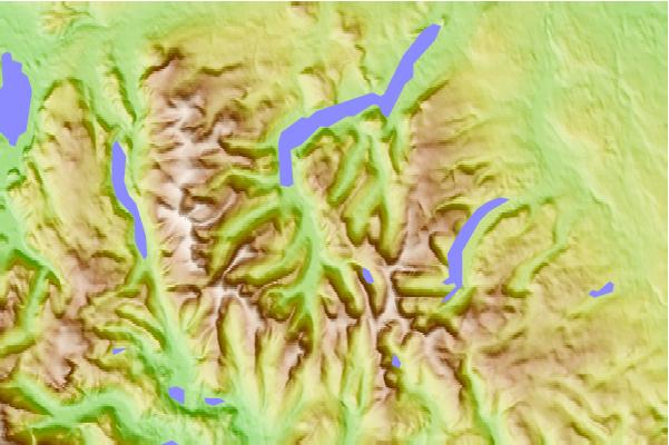
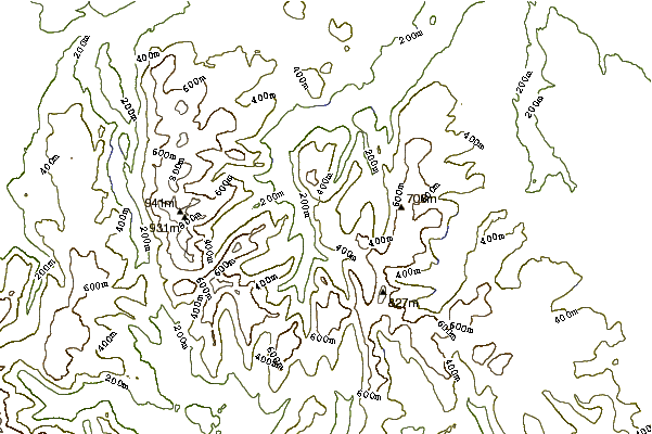
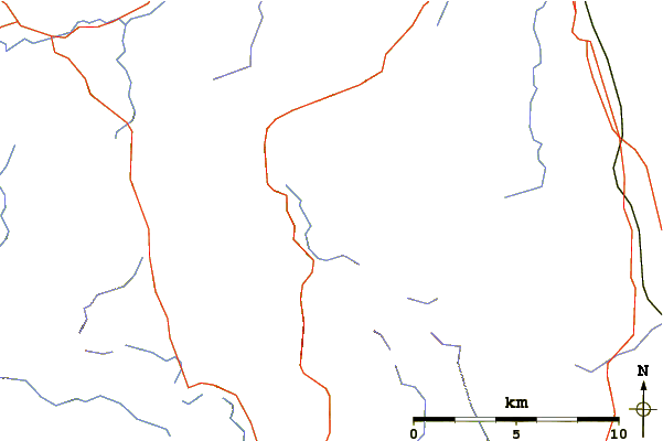
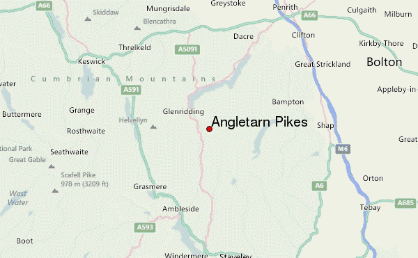
Use this relief map to navigate to mountain peaks in the area of Angletarn Pikes.
10 other mountain peaks closest to Angletarn Pikes:
| 1. | Brock Crags (562 m) | 1.3 km |
| 2. | Arnison Crag (433 m) | 2.0 km |
| 3. | The Nab (576 m) | 2.1 km |
| 4. | Rest Dodd (696 m) | 2.2 km |
| 5. | Place Fell (657 m) | 2.3 km |
| 6. | Beda Fell (509 m) | 2.7 km |
| 7. | Hartsop Dodd (618 m) | 3.0 km |
| 8. | The Knott (739 m) | 3.1 km |
| 9. | Birks (Lake District) (622 m) | 3.2 km |
| 10. | Gray Crag (699 m) | 3.4 km |
