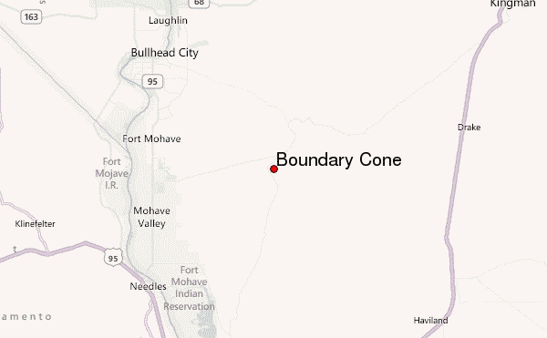
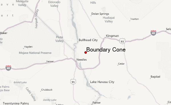
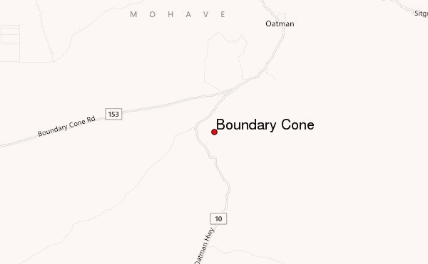
– Lat/Long: 34.98° N 114.42° W
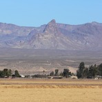
 Boundary Cone – Climbing, Hiking & Mountaineering information

Boundary Cone Guide
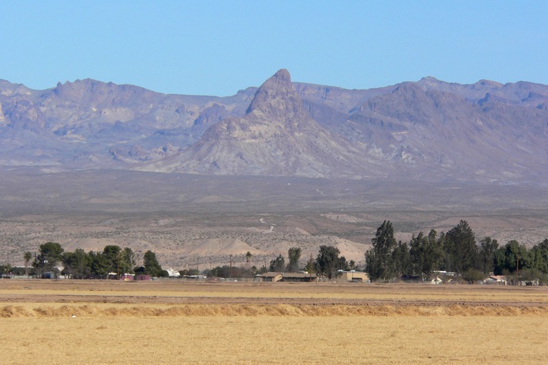
- Elevation: 1045
- Difficulty: -
- Best months to climb: -
- Convenient center: -
Boundary Cone climbers NotesBe the first to submit your climbers note! Please submit any useful information about climbing Boundary Cone that may be useful to other climbers. Consider things such as access and accommodation at the base of Boundary Cone, as well as the logistics of climbing to the summit. |
| Select a
mountain summit from the menu |
||
|
Select a Mountain Summit
|
||
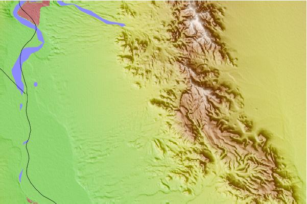
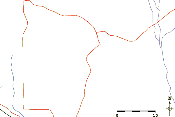
Use this relief map to navigate to mountain peaks in the area of Boundary Cone.
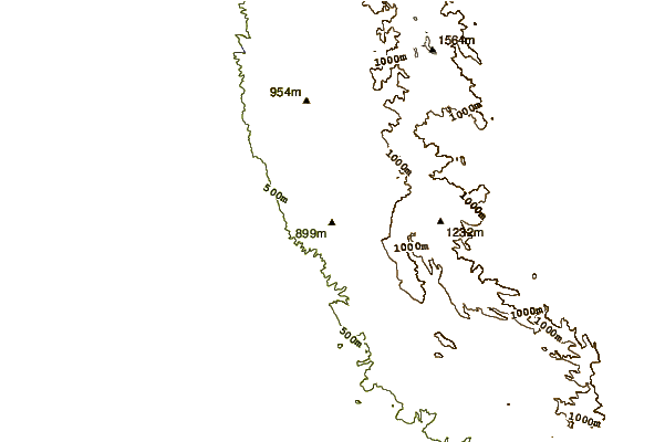
10 other mountain peaks closest to Boundary Cone:
| 1. | Mount Manchester (1098 m) | 30.7 km |
| 2. | Spirit Mountain (Nevada) (1720 m) | 42.8 km |
| 3. | Mount Tipton (2179 m) | 65.0 km |
| 4. | Aubrey Peak (Hualapai Mountains) (1548 m) | 72.2 km |
| 5. | Cima Dome & Volcanic Field National Natural Landmark (1509 m) | 111.7 km |
| 6. | Black Mountain (Nevada) (1552 m) | 119.8 km |
| 7. | Clark Mountain (California) (2418 m) | 122.5 km |
| 8. | Amboy Crater (300 m) | 134.9 km |
| 9. | Frenchman Mountain (1236 m) | 143.1 km |
| 10. | Potosi Mountain (2596 m) | 147.0 km |