Beacon Hill, Leicestershire Guide
- Elevation: 248
- Difficulty: -
- Best months to climb: -
- Convenient center: -
Beacon Hill, Leicestershire climbers Notes
Darren from UNITED KINGDOM writes:
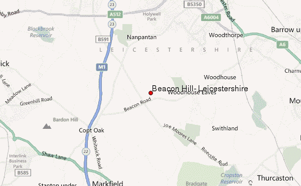
Beacon Hill is a few miles from Loughborough in the countryside. The top car park is the best for parking and is not much lower than the hill itself. It's an easy walk from the top car park and suitable for most people as you're nearly already at the top. The views are the best I've seen for the least amount of effort involved and very extensive. On a clear day you can see Nottingham, Derby, Lincoln and the Cathedral, Boston Stump, The Peak District and planes coming in to land at East Midlands Airport. Their are toilets at the top car park and you pay at the ramped barrier before it lets you in. Beacon Hill is especially beautiful when snowing and even on Bonfire night, when all the fires and fireworks are going off
2020-10-02 |
Click here to submit your own climbing note for Beacon Hill, Leicestershire
|
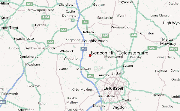
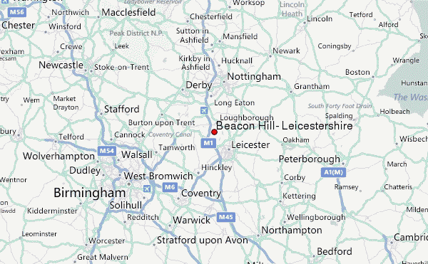
Select Beacon Hill, Leicestershire Location Map Detail:
Use this relief map to navigate to mountain peaks in the area of Beacon Hill, Leicestershire.
10 other mountain peaks closest to Beacon Hill, Leicestershire:
 Beacon Hill, Leicestershire – Climbing, Hiking & Mountaineering information