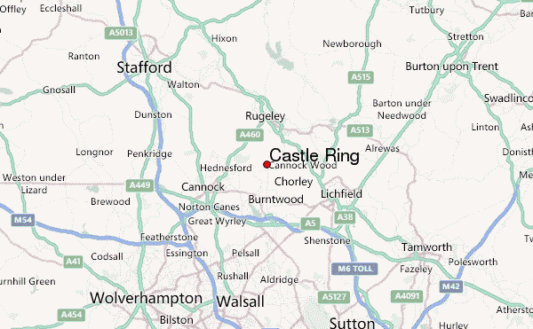
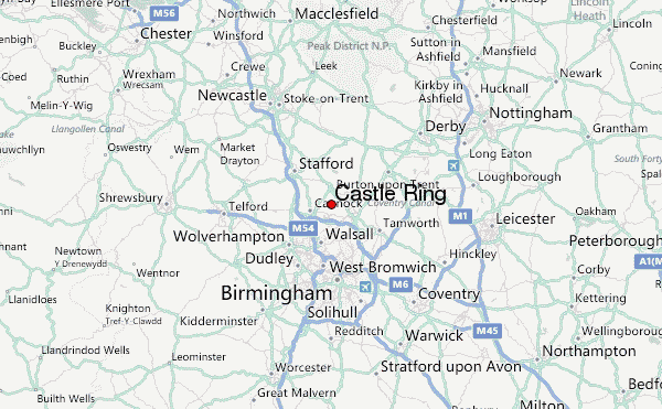
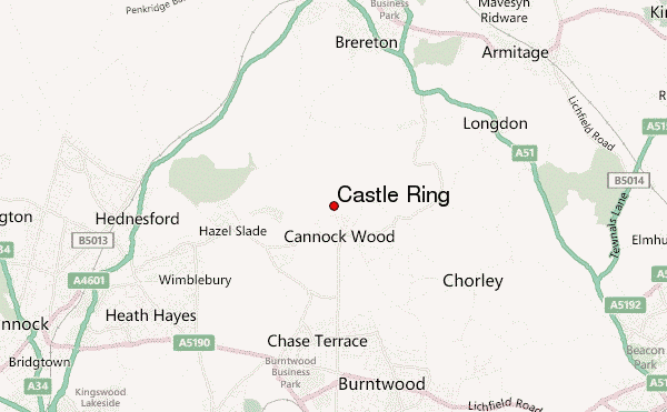
– Lat/Long: 52.71° N 1.94° W
 Castle Ring – Climbing, Hiking & Mountaineering information

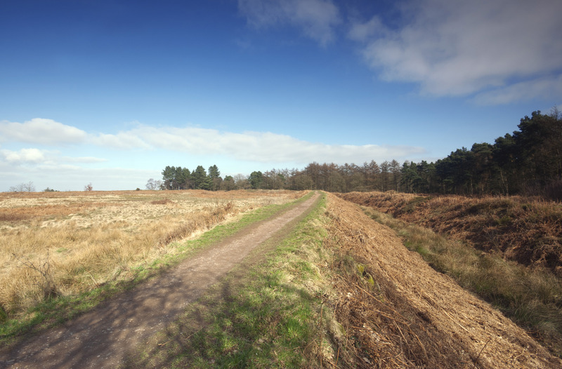
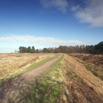
Castle Ring Guide
- Elevation: 244
- Difficulty: -
- Best months to climb: -
- Convenient center: -
Castle Ring climbers NotesBe the first to submit your climbers note! Please submit any useful information about climbing Castle Ring that may be useful to other climbers. Consider things such as access and accommodation at the base of Castle Ring, as well as the logistics of climbing to the summit. |
| Select a
mountain summit from the menu |
||
|
Select a Mountain Summit
|
||
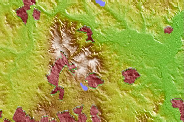
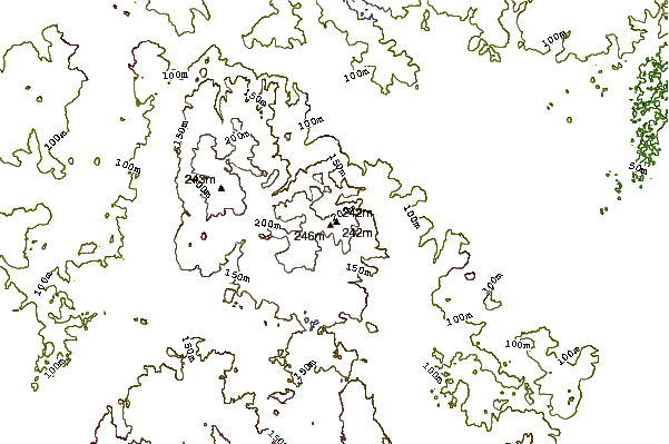
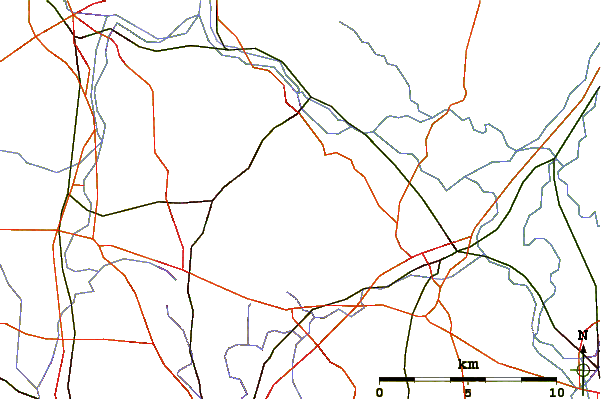
Use this relief map to navigate to mountain peaks in the area of Castle Ring.
10 other mountain peaks closest to Castle Ring:
| 1. | Barr Beacon (227 m) | 15.6 km |
| 2. | Beacon Hill, Sedgley (237 m) | 22.1 km |
| 3. | Turners Hill, West Midlands (271 m) | 25.3 km |
| 4. | Wychbury Hill (224 m) | 33.6 km |
| 5. | Walton Hill (316 m) | 34.7 km |
| 6. | Clent Hills (309 m) | 34.7 km |
| 7. | Kinver Edge (164 m) | 37.3 km |
| 8. | Bilberry Hill (244 m) | 37.7 km |
| 9. | Thorpe Cloud (287 m) | 39.6 km |
| 10. | The Ercall (140 m) | 40.3 km |