Bandarpunch Guide
- Elevation: 6316
- Difficulty: -
- Best months to climb: -
- Convenient center: -
Bandarpunch climbers Notes
ULHAS PANDIT from INDIA writes:
Please provide information about Banderpunch trekking itinerary and risk involved and trekking equipment with branded names of shoes socks stick and backpack and age limit sanctions and agency conducting tours.
thanks
2017-06-13 |
Click here to submit your own climbing note for Bandarpunch
|
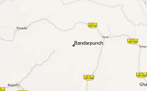
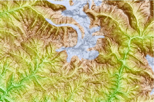
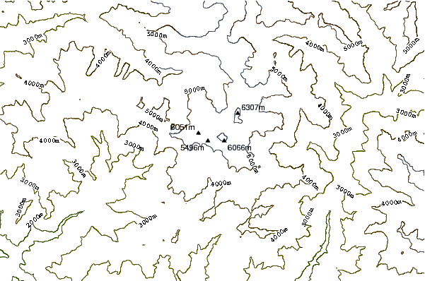
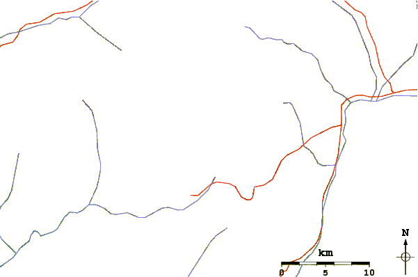
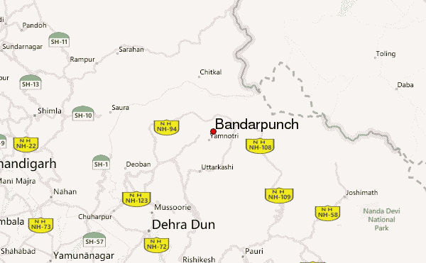
Select Bandarpunch Location Map Detail:
Use this relief map to navigate to mountain peaks in the area of Bandarpunch.
10 other mountain peaks closest to Bandarpunch:
 Bandarpunch – Climbing, Hiking & Mountaineering information