Pico Almanzor Guide
- Elevation: 2592
- Difficulty: Scramble
- Best months to climb: May, June, July, August, September
- Convenient center: Barco de Avila (avila)
Pico Almanzor climbers Notes
Enrique Ribas from SPAIN writes:
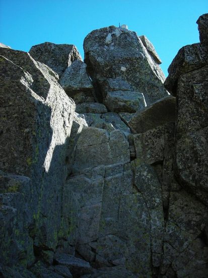
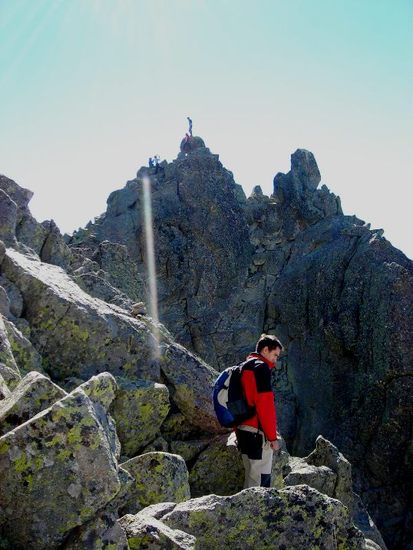
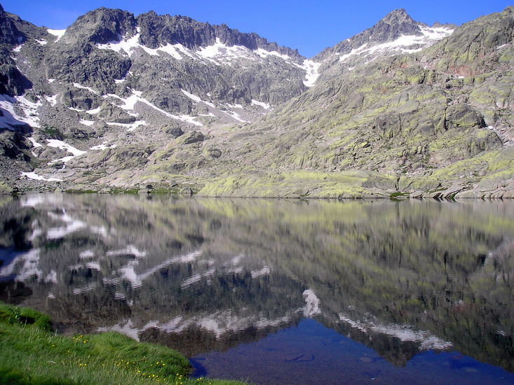
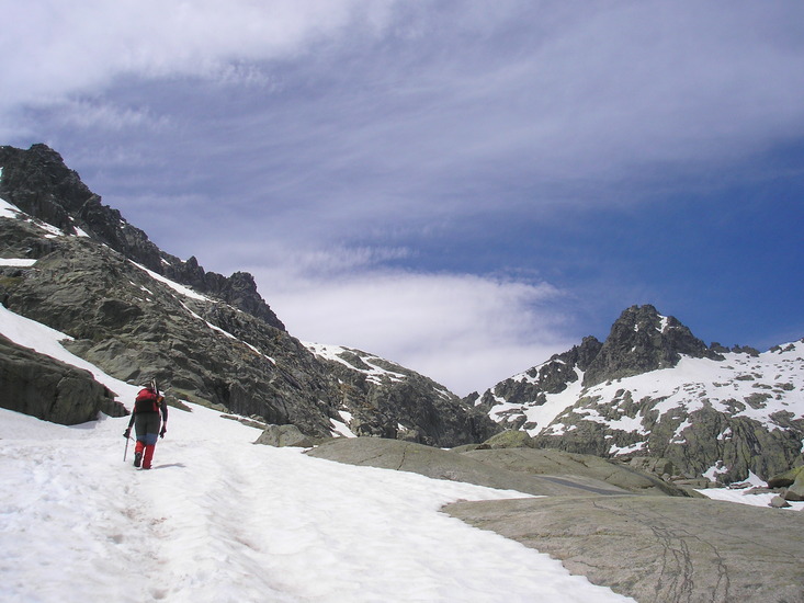
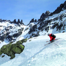
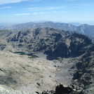
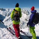
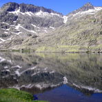
The Almamzor is the highest summit of the Central System. His ascension without being difficult to have enough vertical and climbs on top (level II). In winter (late October to June) is a mixed ice climbing and rock (crampons, piolet and rope). Between January and May is a challenge for extreme skiers. In summer it is very accessible. Attention in early summer, although it is hot, the remains of snow can severely complicate the ascent. Elola refuge, at its core facilitates. From the top you can see almost all castilla.
¡Good climb and good ski in Almanzor!
Enrique Ribas
2010-05-24 |
Click here to read 1 more climbing note for Pico Almanzor or submit your own
|
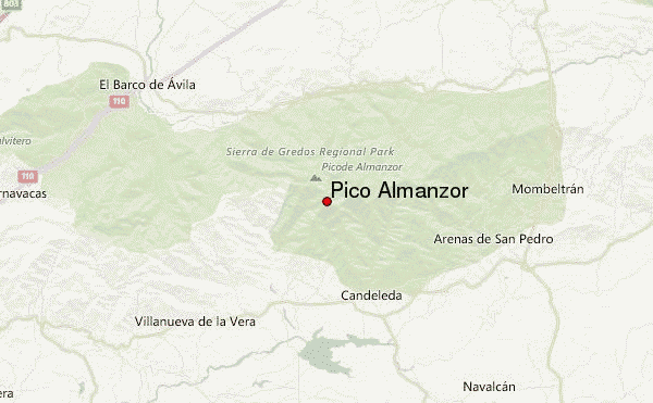
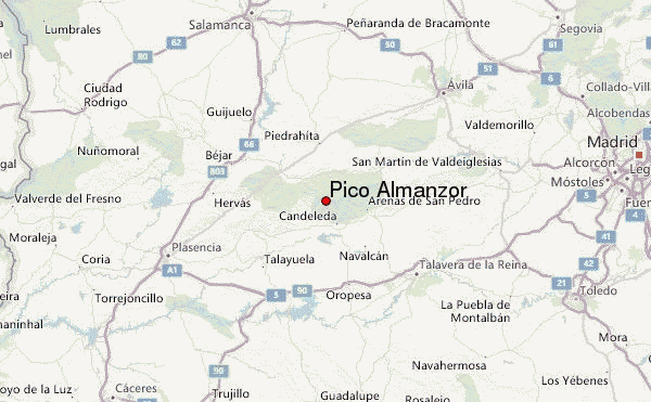
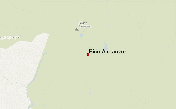
Select Pico Almanzor Location Map Detail:
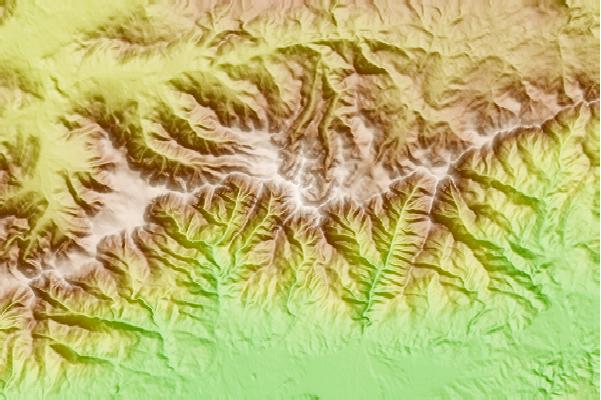
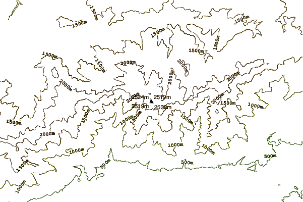
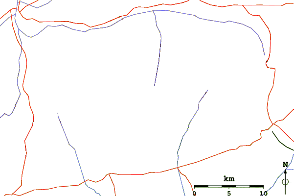
Use this relief map to navigate to mountain peaks in the area of Pico Almanzor.
10 other mountain peaks closest to Pico Almanzor:
 Pico Almanzor – Climbing, Hiking & Mountaineering information
