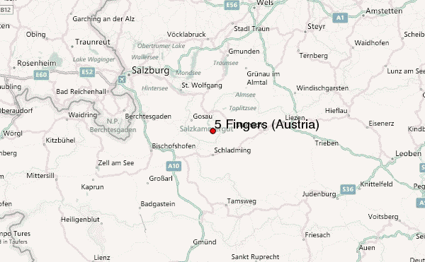
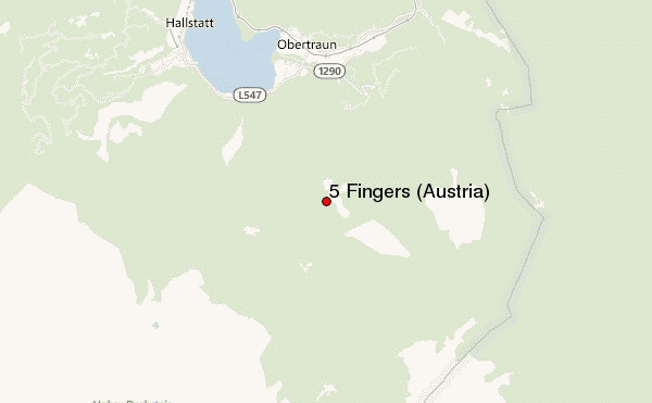
– Lat/Long: 47.52° N 13.69° E
 5 Fingers (Austria) – Climbing, Hiking & Mountaineering information

5 Fingers (Austria) Guide
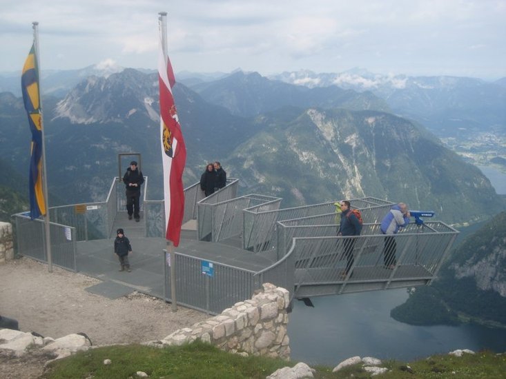
- Elevation: 2108
- Difficulty: -
- Best months to climb: -
- Convenient center: -
5 Fingers (Austria) climbers NotesBe the first to submit your climbers note! Please submit any useful information about climbing 5 Fingers (Austria) that may be useful to other climbers. Consider things such as access and accommodation at the base of 5 Fingers (Austria), as well as the logistics of climbing to the summit. |

10 other mountain peaks closest to 5 Fingers (Austria):
| 1. | Simony Hut (2205 m) | 5.8 km |
| 2. | Seethalerhütte (2740 m) | 8.2 km |
| 3. | Adamekhütte (2196 m) | 8.9 km |
| 4. | Hoher Dachstein (2996 m) | 10.4 km |
| 5. | Bikepark Schladming (1821 m) | 15.9 km |
| 6. | Loser Hütte (1540 m) | 16.2 km |
| 7. | Loser (mountain) (1838 m) | 16.9 km |
| 8. | Ischler Hütte (1365 m) | 20.2 km |
| 9. | Albert Appel-Haus (1638 m) | 23.1 km |
| 10. | Ebenseer Hochkogelhaus (1558 m) | 23.7 km |