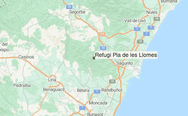
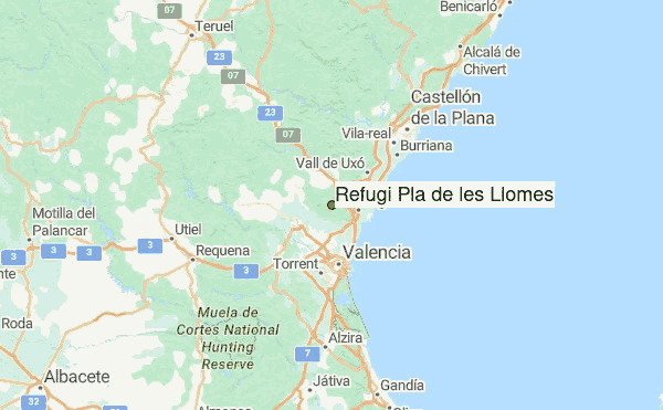
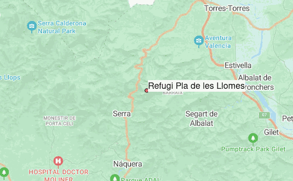
– Lat/Long: 39.70° N 0.41° W
 Refugi Pla de les Llomes – Climbing, Hiking & Mountaineering information

Refugi Pla de les Llomes Guide
- Place: -
- Facilities: -
- Bookable: -
- Sleeps: 8
Refugi Pla de Les Llomes is a free refuge located in the Valencian Community (Spain). Access to the shelter is made to take a dirt road and stones from the main road paved about 100 meters before reaching the El Chaparral restaurant. From the road to the shelter there are about 300 meters. This piece of road is irregular and has many stones, so it must be done on foot or with a fairly high 4x4 vehicle.
Refugi Pla de les Llomes visitors NotesBe the first to submit your visitors note! Please submit any useful information about climbing Refugi Pla de les Llomes that may be useful to other climbers. Consider things such as access and accommodation at the base of Refugi Pla de les Llomes, as well as the logistics of climbing to the summit. |
10 other mountain peaks closest to Refugi Pla de les Llomes:
| 1. | Serra Calderona (907 m) | 7.6 km |
| 2. | Serra d'Espadà (1106 m) | 21.3 km |
| 3. | Refugi Canyada del Conill (100 m) | 32.3 km |
| 4. | Refugio Montanejos (460 m) | 42.6 km |
| 5. | Peñaescabia (Sierra del Torro) (1616 m) | 42.7 km |
| 6. | Refugio ESTACION PALANCAR (975 m) | 45.3 km |
| 7. | Refugio PLANO EL (705 m) | 48.1 km |
| 8. | Refugio Fuente de la Puerca (750 m) | 48.1 km |
| 9. | Sierra de Utiel (1306 m) | 49.4 km |
| 10. | Refugio forestal monte Altis (1025 m) | 54.2 km |