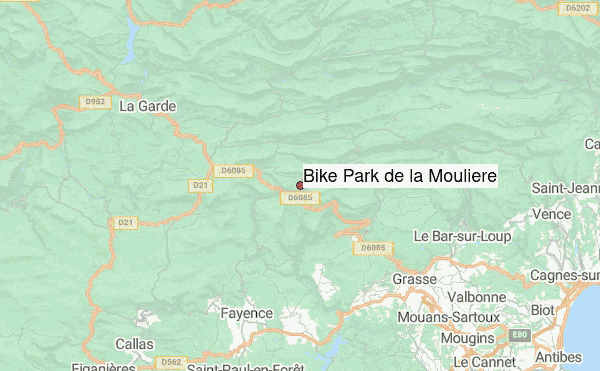
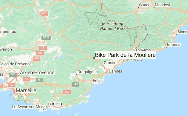
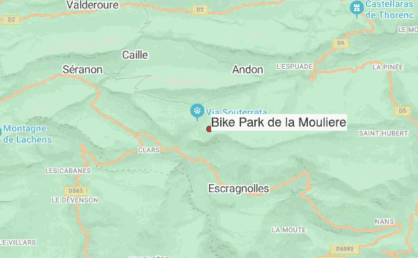
– Lat/Long: 43.75° N 6.77° E
 Bike Park de la Mouliere (Bike Park De La Mouliere) Guide & Trail information

Bike Park de la Mouliere Guide
- Bike trails: 25
- E-bike trails: 25
- Highest trailhead: 1578m
- Total vertical: 240m
- Total distance: 18km
- Total descent distance: km
- Total descent: 3033m
- Detailed page: https://www.trailforks.com/region/bike-park-de-la-mouliere
Bike Park de la Mouliere riders NotesBe the first to submit your riders note! Please submit any useful information about climbing Bike Park de la Mouliere that may be useful to other climbers. Consider things such as access and accommodation at the base of Bike Park de la Mouliere, as well as the logistics of climbing to the summit. |
10 other mountain peaks closest to Bike Park de la Mouliere:
| 1. | Col de Valferriere (1169 m) | 2.9 km |
| 2. | Col Bas (1199 m) | 4.6 km |
| 3. | Col de la Faye (984 m) | 7.3 km |
| 4. | Col de Bleine (1439 m) | 7.4 km |
| 5. | Col Du Castellaras (1248 m) | 7.5 km |
| 6. | Col de la Sine (1108 m) | 7.7 km |
| 7. | Col Du Ferrier (1041 m) | 9.2 km |
| 8. | Col de Clavel (1063 m) | 11.0 km |
| 9. | Col D'avaye (762 m) | 11.7 km |
| 10. | Col Du Pilon (782 m) | 12.0 km |