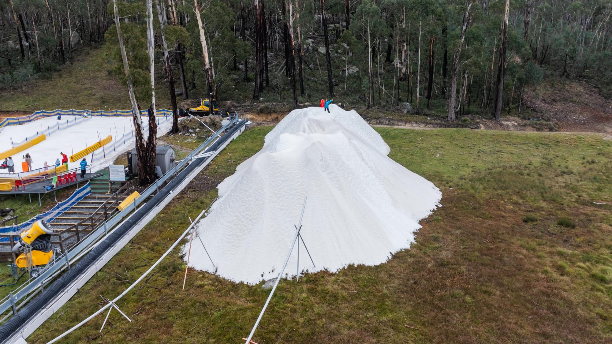
Fresh Snowfall In Australia With 2026 Season Starting This Weekend
An early-winter storm is gathering momentum in Australia ahead of the start of the 2026 ski season in the country this weekend.

Stay safe on every summit. Get precise, elevation-specific weather forecasts for mountain peaks, trails, bikeparks and mountain huts worldwide. Trusted by mountaineers, hikers, and climbers who need to know before they go.
Discover one of these nearby mountain peaks and start planning your adventures.


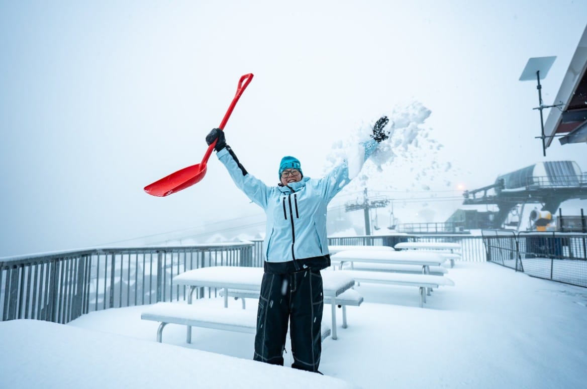
An early-winter storm is gathering momentum in Australia ahead of the start of the 2026 ski season in the country this weekend.
The Stelvio Glacier, a short drive from the centre of this historic ski town, opens for its 2026 season on 30 May and doesn't close until 1 November, giving skiers nearly six uninterrupted months on the mountain through summer and autumn.
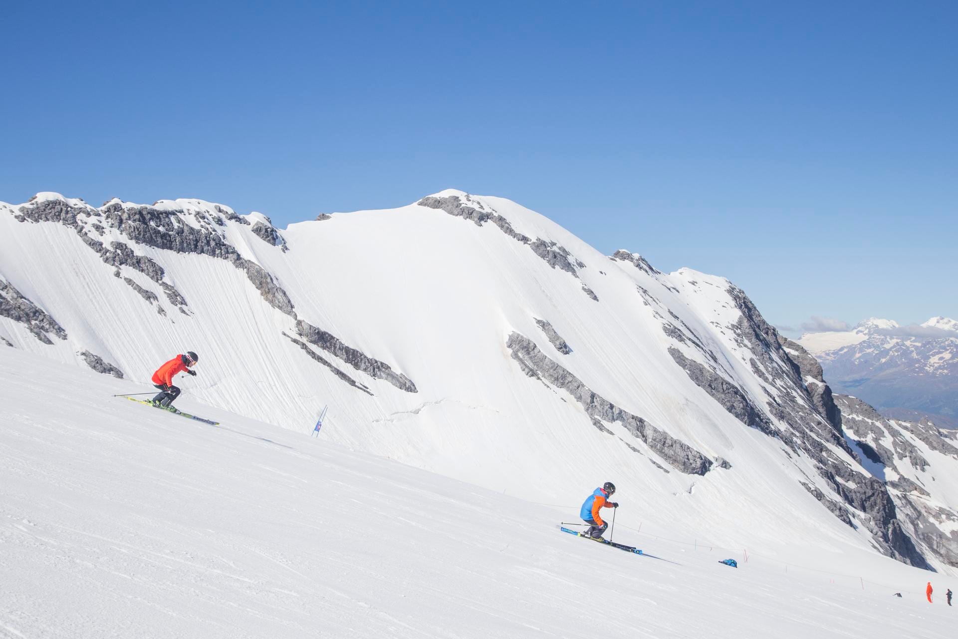
Weekly Snow News for the Southern Hemisphere, updated 28 May 2026: Cold temperatures, snowmaking and light snowfall raise optimism ahead of Australia and New Zealand’s 2026 ski season openings.
Weekly Snow News for North America, updated 28 May 2026: Mammoth extends its season into June as Beartooth Basin opens and spring skiing continues across the western US.
Discover more articles and updates in the Whiteroom.
From mountain peaks and trails to huts and lodges — covering 120 countries with everything you need to plan your next adventure.
Thoroughly tested and trusted by climbers and mountaineers worldwide for accurate, reliable forecasts in challenging mountain conditions.
Share your experiences, keep a record of your travels, and learn from our global community of mountain enthusiasts.
Get ahead of the elements with MountainPro: unlock 16-day forecasts, hourly detail, and offline maps to confidently plan all of your adventures.
Get Premium


Elevate your mountain adventures with the official Mountain-Forecast app. Detailed mountain weather forecasts for over 12,000 peaks around the world.
Mountain-Forecast is one of the most popular sources of detailed mountain weather.
Trusted by climbers, skiers, mountain bikers, and outdoor sport enthusiasts, our mountain forecasts cover multiple elevations and weather updates every six hours.
First-hand mountain reviews, route tips, and trail guides
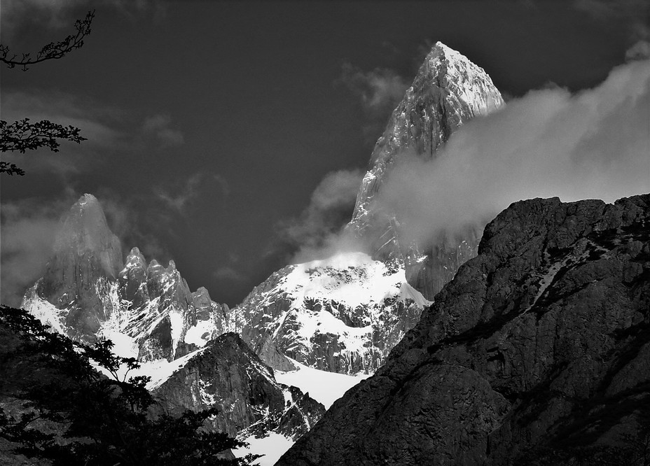
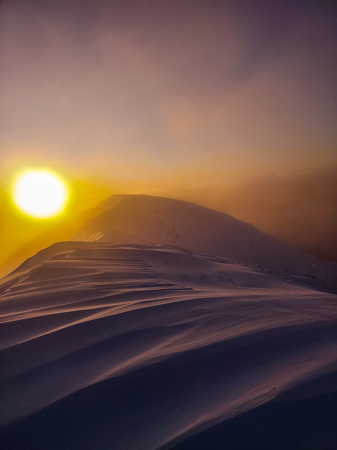
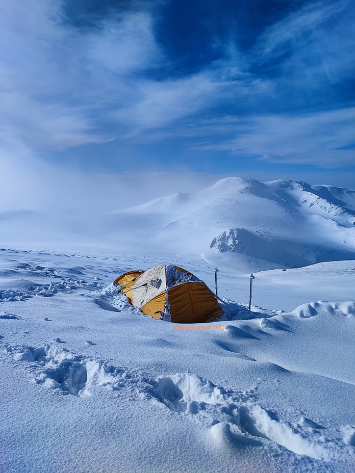
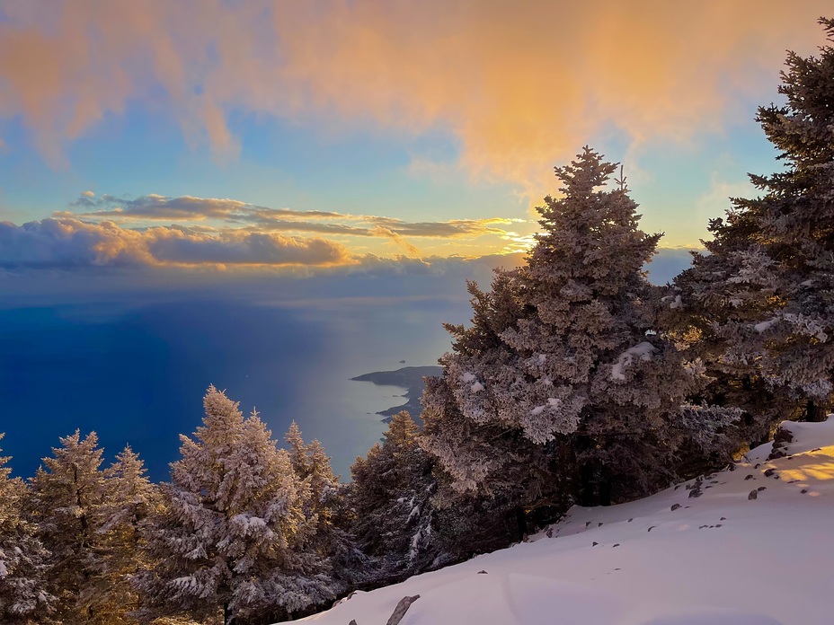
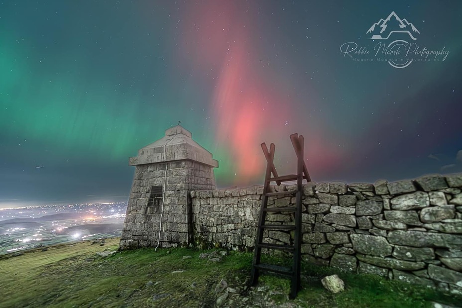
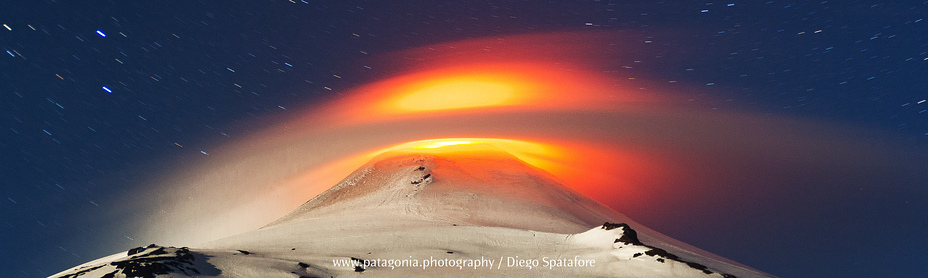
Captured by our global community. Share your best shots here.