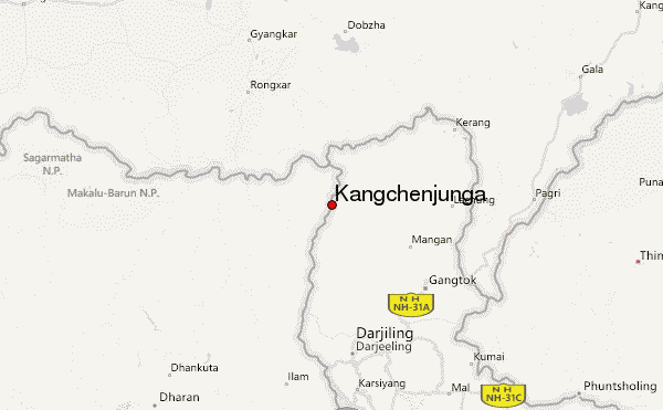
Kangchenjunga Guide
- Elevation: 8586
- Difficulty: Major Mountain Expedition
- Best months to climb: April, May
- Convenient center: Hille, Nepal via Dharan Bazar
Kangchenjunga climbers Notes
Gajendra Deuba from NEPAL writes:
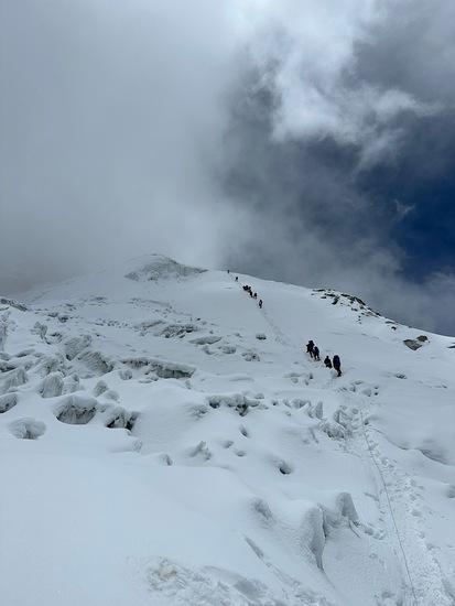
Base camp to camp -1 safe route but stiff section of climbing
Camp-1 to camp-2 - rock fall area (helmet advised)
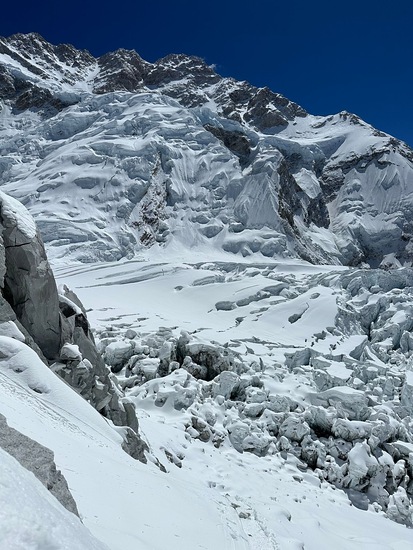
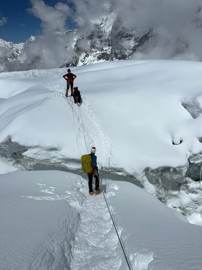
Camp-2 to camp-3 stiff section of ice wall and crevasse demanding more skill in jumaring and rappelling
Camp-3 to camp -4 high altitude , thin air,
patient is the key
Camp-4 to summit: GOING UP IS THE OPTION RETURNING BACK IS MANDATORY. Don’t speed save energy. Minimum 15 hr of summit push. 300m elevation on the last section for the summit push is mix climbing.
Weather is key for making it to the summit.
2025-06-15 |
Click here to submit your own climbing note for Kangchenjunga
|
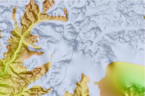
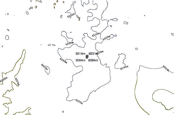
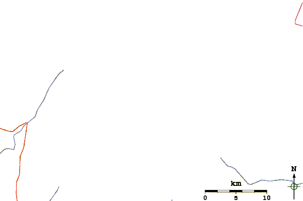
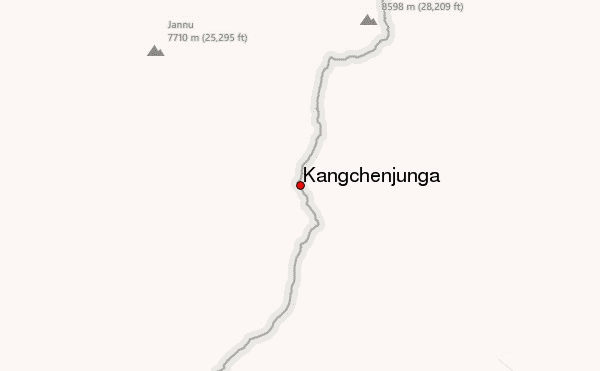
Select Kangchenjunga Location Map Detail:
Use this relief map to navigate to mountain peaks in the area of Kangchenjunga.
10 other mountain peaks closest to Kangchenjunga:
 Kangchenjunga – Climbing, Hiking & Mountaineering information

