Rucu Pichincha Guide
- Elevation: 4698
- Difficulty: Walk up
- Best months to climb: -
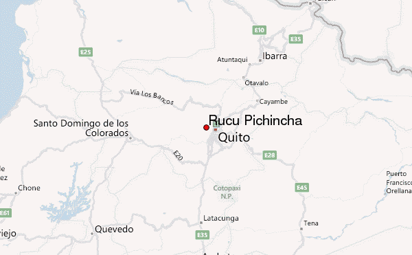
- Convenient center: Quito
Rucu Pichincha climbers Notes
mmaya from ECUADOR writes:
Sunday 6.22.2025
Got to the Teleferico station at 0800hrs and there was already a line to buy tickets to head up.
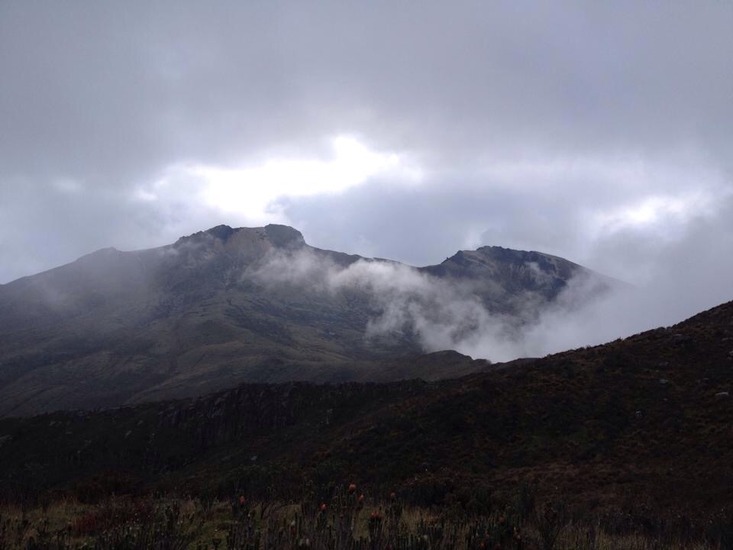
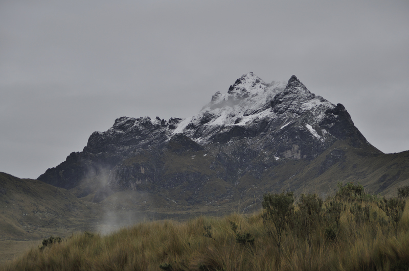
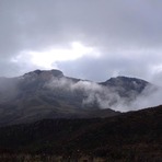
We hit the trail at around 0845hrs and reached the summit about 2.5 hrs later. As we were making our way up the fog/clouds started closing in pretty quickly, which made it a bit difficult to figure out which way to go (sure, All Trails provides a route, but the last 0.3 miles is mostly scrambling).
We reached the summit with the guidance of a local who makes it up every weekend.
The summit was windy, to be expected at those elevations, and made our way back down after a 15 minute break.
The way down was definitely easier, with regard to knowing which rocky path to head down towards.
All in all, this is a great hike to acclimate when taking on higher summits in Ecuador.
2025-06-25 |
Click here to read 3 more climbing notes for Rucu Pichincha or submit your own
|
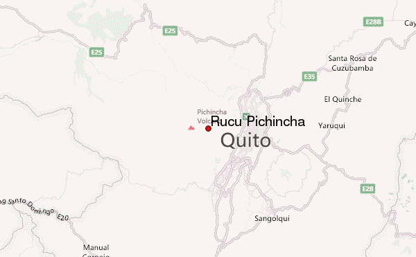
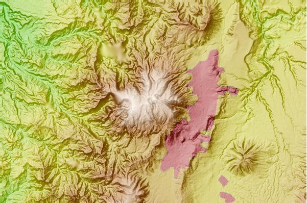
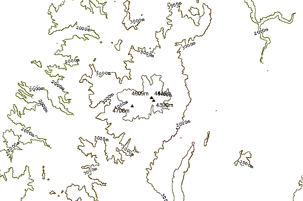
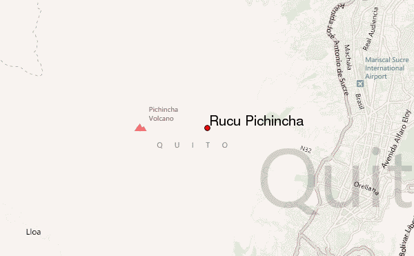
Select Rucu Pichincha Location Map Detail:
Use this relief map to navigate to mountain peaks in the area of Rucu Pichincha.
10 other mountain peaks closest to Rucu Pichincha:
 Rucu Pichincha – Climbing, Hiking & Mountaineering information
